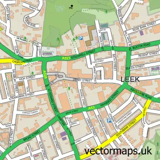
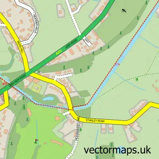
This Cheddleton street map is a detailed vector street map covering a 750m x 750m area. Select a larger area to create and download your own vector street map of Cheddleton.
The 750-metre map sample for Cheddleton covers 348 mapped buildings and approximately 11.6 km of road detail, of which 22 named roads are named. The immediate area includes 2 pubs and 3 MOT stations within 2 miles. The wider area around Cheddleton features 2 tourism points of interest, 6 food and drink venues and 1 hotel. To create a larger or custom map of Cheddleton, the map builder lets you define your own coverage area and download editable SVG, PDF and PNG files.
Create a larger editable map of Cheddleton
Choose any area you need and generate a high-quality vector map instantly. Perfect for print, planning, design, business and personal use.

This Cheddleton street map in Staffordshire is available as downloadable SVG, PDF and PNG map files, or as a printed map for planning, business, display, education, local information and design work. You can also create a larger custom map area using the map selector.
What this Cheddleton map sample shows
Cheddleton lies within Cheddleton Cp parish, part of Cheddleton ward in the Staffordshire Moorlands District local authority area. The postcode geography for this area includes the ST postcode area, the ST13 postcode district and the ST13 7 postcode sector. Residents fall under the Nhs Staffordshire And Stoke-On-Trent Integrated Care Board for NHS services.
Local features near Cheddleton
Within 2 milesAmenities and services in and around Cheddleton.
Administrative and postcode information for Cheddleton
The local authority covering Cheddleton is Staffordshire Moorlands District, within the county of Staffordshire. The settlement lies within Cheddleton ward and Cheddleton Cp civil parish. The ST13 postcode district and ST13 7 postcode sector serve the immediate area. NHS provision in the area is delivered through University Hospitals Of North Midlands Nhs Trust.
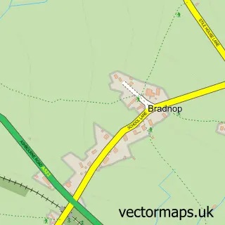
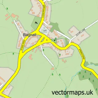
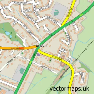
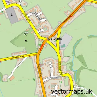
Nearby street map samples around Cheddleton

More street maps in Staffordshire
750 metre map area coverage
Boundary, postcode and point of interest information for the 750m x 750m rectangle centred on this sample map.
Boundaries containing map centre
Constituency: Staffordshire Moorlands Co Const
County: Staffordshire County
District: Staffordshire Moorlands District
Icb: NHS Staffordshire and Stoke-on-Trent ICB
Parish: Cheddleton CP
Police Force: staffordshire
Postcode District: ST13
Postcode Sector: ST13 7
Ward: Cheddleton Ward
Nearby boundaries intersecting sample
No additional intersecting boundaries found.
Postcode coverage
POI category counts
Restaurant: 4
Professional Services: 3
Business Manufacturing And Supply: 2
Contractor: 2
Post Office: 2
Pub: 2
Anglican Church: 1
Bank Credit Union: 1
Beauty Salon: 1
Building Supply Store: 1
Sample points of interest
- St Edward the Confessor Church, Cheddleton
- Bank Top Farm
- Beauty By Emily
- Moorlands Custom Cabinets
- LM Bateman & Co
- MD Doors & Gates
- Barnfields Joinery
- Polynt UK Ltd
- Midlands Window Systems
- Prescott & Morris
- Lux Electric Services
- Butch Block
Create a larger editable map of Cheddleton
This sample shows only a 750 metre area. To create a larger map of Cheddleton, use our map builder to choose your own coverage area, add titles and download editable SVG, PDF and PNG files.
Create a custom map of Cheddleton