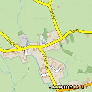
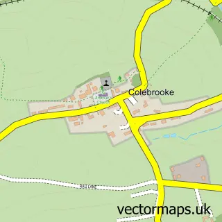
This Cheriton Bishop street map is a detailed vector street map covering a 750m x 750m area. Select a larger area to create and download your own vector street map of Cheriton Bishop.
The 750-metre map sample for Cheriton Bishop covers 177 mapped buildings and approximately 14.0 km of road detail, of which 3 named roads are named. The immediate area includes 1 school, 1 GP surgery and 1 pub. The wider area around Cheriton Bishop features 1 tourism point of interest, 1 food and drink venue and 1 hotel. To create a larger or custom map of Cheriton Bishop, the map builder lets you define your own coverage area and download editable SVG, PDF and PNG files.
Create a larger editable map of Cheriton Bishop
Choose any area you need and generate a high-quality vector map instantly. Perfect for print, planning, design, business and personal use.

This Cheriton Bishop street map in Devon is available as downloadable SVG, PDF and PNG map files, or as a printed map for planning, business, display, education, local information and design work. You can also create a larger custom map area using the map selector.
What this Cheriton Bishop map sample shows
Cheriton Bishop lies within Cheriton Bishop Cp parish, part of Yeo ward in the Mid Devon District local authority area. The postcode geography for this area includes the EX postcode area, the EX6 postcode district and the EX6 6 postcode sector. Residents fall under the Nhs Devon Integrated Care Board for NHS services.
Local features near Cheriton Bishop
Within 2 milesAmenities and services in and around Cheriton Bishop.
Administrative and postcode information for Cheriton Bishop
Cheriton Bishop lies within Cheriton Bishop Cp parish, part of Yeo ward in the Mid Devon District local authority area. The postcode geography for this area includes the EX postcode area, the EX6 postcode district and the EX6 6 postcode sector. Residents fall under the Nhs Devon Integrated Care Board for NHS services.
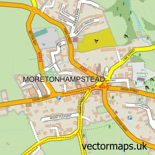
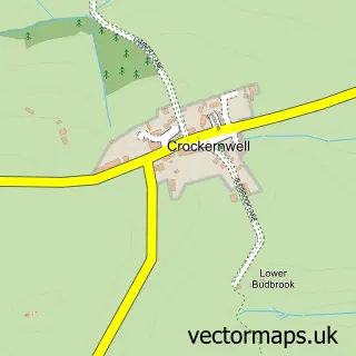
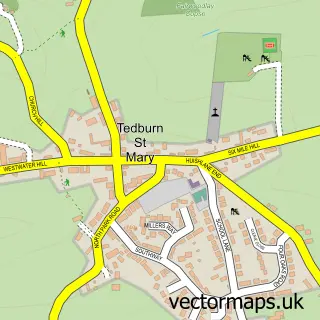
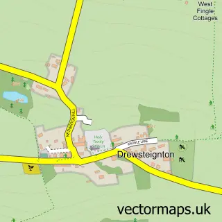
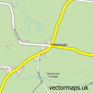
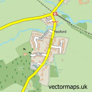
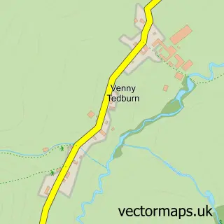
Nearby street map samples around Cheriton Bishop

More street maps in Devon
750 metre map area coverage
Boundary, postcode and point of interest information for the 750m x 750m rectangle centred on this sample map.
Boundaries containing map centre
Constituency: Central Devon Co Const
County: Devon County
District: Mid Devon District
Icb: NHS Devon ICB
Parish: Cheriton Bishop CP
Police Force: devon and cornwall
Postcode District: EX6
Postcode Sector: EX6 6
Ward: Yeo Ward
Nearby boundaries intersecting sample
District: Teignbridge District
Parish: Tedburn St. Mary CP
Ward: Teign Valley Ward
Postcode coverage
POI category counts
Elementary School: 3
Professional Services: 2
Scout Hall: 2
Advertising Agency: 1
Anglican Church: 1
Business Manufacturing And Supply: 1
Convenience Store: 1
Doctor: 1
Farm: 1
Farming Services: 1
Sample points of interest
- Factor 8
- St Mary
- SAS Render Systems
- Central Convenience, Cheriton Bishop
- Cheriton Bishop Surgery
- Cheriton Bishop Post Office
- Cheriton Bishop Primary School
- Cheriton Bishop Primary School
- Exeter Turkey Farm - Devon
- Luscombe Maye
- Dart FM Services Ltd
- The Mulberry - Inn
Create a larger editable map of Cheriton Bishop
This sample shows only a 750 metre area. To create a larger map of Cheriton Bishop, use our map builder to choose your own coverage area, add titles and download editable SVG, PDF and PNG files.
Create a custom map of Cheriton Bishop