This Moretonhampstead street map is a detailed vector street map covering a 750m x 750m area. Select a larger area to create and download your own vector street map of Moretonhampstead.
The 750-metre map sample for Moretonhampstead covers 275 mapped buildings and approximately 14.8 km of road detail, of which 21 named roads are named. The immediate area includes 1 school, 1 GP surgery, 3 pubs and 1 MOT station. The wider area around Moretonhampstead features 5 tourism points of interest, 6 food and drink venues and 2 hotels. To create a larger or custom map of Moretonhampstead, the map builder lets you define your own coverage area and download editable SVG, PDF and PNG files.
Create a larger editable map of Moretonhampstead
Choose any area you need and generate a high-quality vector map instantly. Perfect for print, planning, design, business and personal use.

This Moretonhampstead street map in Devon is available as downloadable SVG, PDF and PNG map files, or as a printed map for planning, business, display, education, local information and design work. You can also create a larger custom map area using the map selector.
What this Moretonhampstead map sample shows
Moretonhampstead lies within Moretonhampstead Cp parish, part of Moretonhampstead ward in the Teignbridge District local authority area. The postcode geography for this area includes the TQ postcode area, the TQ13 postcode district and the TQ13 8 postcode sector. Residents fall under the Nhs Devon Integrated Care Board for NHS services.
Local features near Moretonhampstead
Within 2 milesAmenities and services in and around Moretonhampstead.
Administrative and postcode information for Moretonhampstead
The local authority covering Moretonhampstead is Teignbridge District, within the county of Devon. The settlement lies within Moretonhampstead ward and Moretonhampstead Cp civil parish. The TQ13 postcode district and TQ13 8 postcode sector serve the immediate area. NHS provision in the area is delivered through Royal Devon University Healthcare Nhs Foundation Trust.
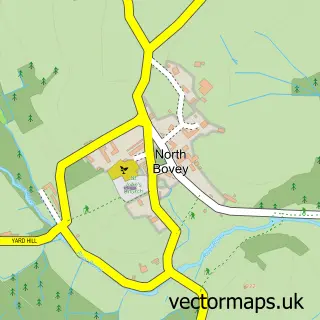
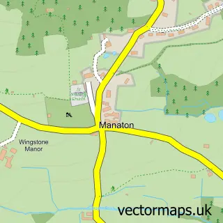
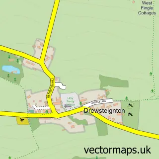
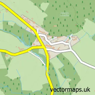
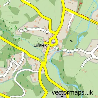
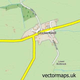
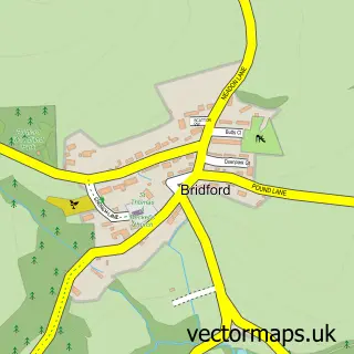
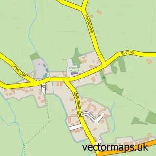
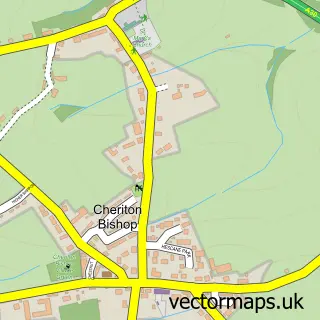
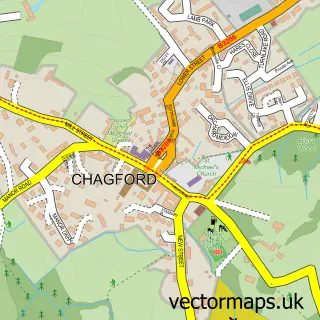
Nearby street map samples around Moretonhampstead

More street maps in Devon
750 metre map area coverage
Boundary, postcode and point of interest information for the 750m x 750m rectangle centred on this sample map.
Boundaries containing map centre
Constituency: Central Devon Co Const
County: Devon County
District: Teignbridge District
Icb: NHS Devon ICB
Parish: Moretonhampstead CP
Police Force: devon and cornwall
Postcode District: TQ13
Postcode Sector: TQ13 8
Ward: Moretonhampstead Ward
Nearby boundaries intersecting sample
No additional intersecting boundaries found.
Postcode coverage
POI category counts
Art Gallery: 3
Bed And Breakfast: 3
Doctor: 3
Pub: 3
Advertising Agency: 2
Automotive Repair: 2
Beauty Salon: 2
Clothing Store: 2
Community Center: 2
Community Services Non Profits: 2
Sample points of interest
- Jam Design
- Steve Coxon
- St Andrew's Church
- Home & Nursery Co
- Arts & Crafts In The Chapel
- Ford Street Gallery
- Green Hill Arts
- The Cooperative Food (BF) Moretonhampstead, Moretonhampstead
- C. W. Automotive Services
- Dartmoore
- Arcspeed Digital Solutions
- Nibble and Scoff Cakes
Create a larger editable map of Moretonhampstead
This sample shows only a 750 metre area. To create a larger map of Moretonhampstead, use our map builder to choose your own coverage area, add titles and download editable SVG, PDF and PNG files.
Create a custom map of Moretonhampstead