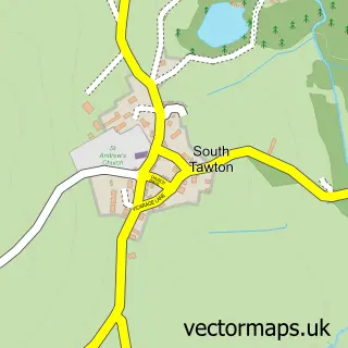
This Chagford street map is a detailed vector street map covering a 750m x 750m area. Select a larger area to create and download your own vector street map of Chagford.
The 750-metre map sample for Chagford covers 292 mapped buildings and approximately 14.1 km of road detail, of which 22 named roads are named. The immediate area includes 1 GP surgery and 3 pubs. The wider area around Chagford features 3 tourism points of interest and 5 food and drink venues. To create a larger or custom map of Chagford, the map builder lets you define your own coverage area and download editable SVG, PDF and PNG files.
Create a larger editable map of Chagford
Choose any area you need and generate a high-quality vector map instantly. Perfect for print, planning, design, business and personal use.

This Chagford street map in Devon is available as downloadable SVG, PDF and PNG map files, or as a printed map for planning, business, display, education, local information and design work. You can also create a larger custom map area using the map selector.
What this Chagford map sample shows
Chagford lies within Chagford Cp parish, part of Chagford ward in the West Devon District (B) local authority area. The postcode geography for this area includes the TQ postcode area, the TQ13 postcode district and the TQ13 8 postcode sector. Residents fall under the Nhs Devon Integrated Care Board for NHS services.
Local features near Chagford
Within 2 milesAmenities and services in and around Chagford.
Administrative and postcode information for Chagford
The local authority covering Chagford is West Devon District (B), within the county of Devon. The settlement lies within Chagford ward and Chagford Cp civil parish. The TQ13 postcode district and TQ13 8 postcode sector serve the immediate area. NHS provision in the area is delivered through Royal Devon University Healthcare Nhs Foundation Trust.
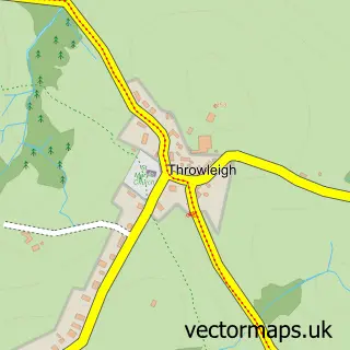
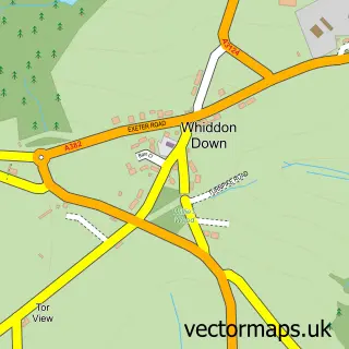
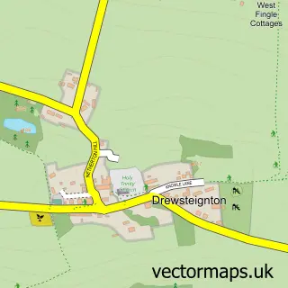
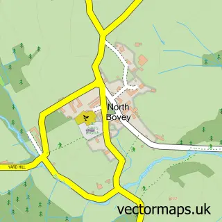
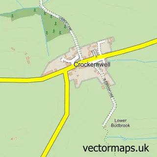
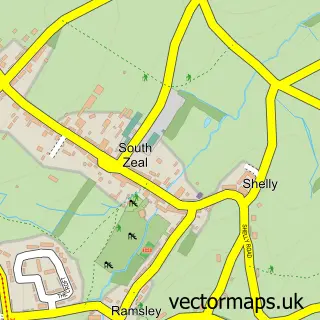
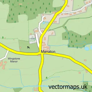
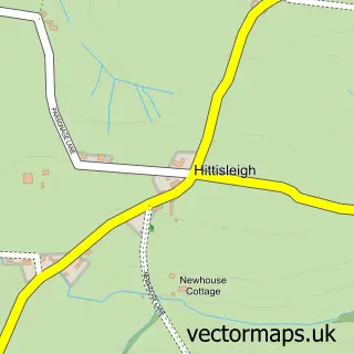
Nearby street map samples around Chagford

More street maps in Devon
750 metre map area coverage
Boundary, postcode and point of interest information for the 750m x 750m rectangle centred on this sample map.
Boundaries containing map centre
Constituency: Central Devon Co Const
County: Devon County
District: West Devon District (B)
Icb: NHS Devon ICB
Parish: Chagford CP
Police Force: devon and cornwall
Postcode District: TQ13
Postcode Sector: TQ13 8
Ward: Chagford Ward
Nearby boundaries intersecting sample
No additional intersecting boundaries found.
Postcode coverage
POI category counts
Acupuncture: 4
Art Gallery: 3
Arts And Entertainment: 3
Pub: 3
Real Estate Agent: 3
Antique Store: 2
Bakery: 2
Bank Credit Union: 2
Beauty Salon: 2
Community Services Non Profits: 2
Sample points of interest
- Dartmoor Acupuncture Clinic
- The Wellspring
- The Wellspring- Dartmoor Acupuncture
- Trailing Pebbles Clinic
- St Michael the Archangel
- 30 the Square
- Rue des Fontenelles
- Artisan
- Ludgate Fine Art
- Three Hares Gallery
- Ludgate Fine Art
- Elizabeth Jane Baldry Harpist
Create a larger editable map of Chagford
This sample shows only a 750 metre area. To create a larger map of Chagford, use our map builder to choose your own coverage area, add titles and download editable SVG, PDF and PNG files.
Create a custom map of Chagford