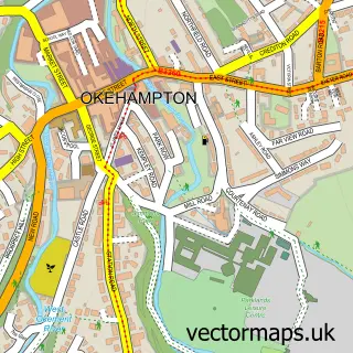
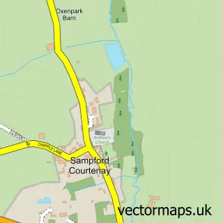
This South Zeal street map is a detailed vector street map covering a 750m x 750m area. Select a larger area to create and download your own vector street map of South Zeal.
The 750-metre map sample for South Zeal covers 183 mapped buildings and approximately 17.8 km of road detail, of which 1 named road are named. The immediate area includes 1 school, 3 pubs and 1 MOT station within 2 miles. The wider area around South Zeal features 4 food and drink venues. To create a larger or custom map of South Zeal, the map builder lets you define your own coverage area and download editable SVG, PDF and PNG files.
Create a larger editable map of South Zeal
Choose any area you need and generate a high-quality vector map instantly. Perfect for print, planning, design, business and personal use.

This South Zeal street map in Devon is available as downloadable SVG, PDF and PNG map files, or as a printed map for planning, business, display, education, local information and design work. You can also create a larger custom map area using the map selector.
What this South Zeal map sample shows
South Zeal lies within South Tawton Cp parish, part of South Tawton ward in the West Devon District (B) local authority area. The postcode geography for this area includes the EX postcode area, the EX20 postcode district and the EX20 2 postcode sector. Residents fall under the Nhs Devon Integrated Care Board for NHS services.
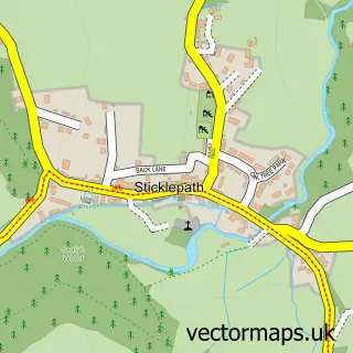
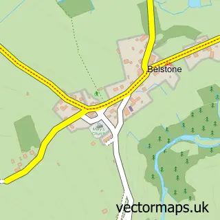
Local features near South Zeal
Within 2 milesAmenities and services in and around South Zeal.
Administrative and postcode information for South Zeal
South Zeal lies within South Tawton Cp parish, part of South Tawton ward in the West Devon District (B) local authority area. The postcode geography for this area includes the EX postcode area, the EX20 postcode district and the EX20 2 postcode sector. Residents fall under the Nhs Devon Integrated Care Board for NHS services.
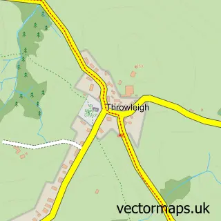
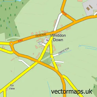
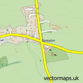
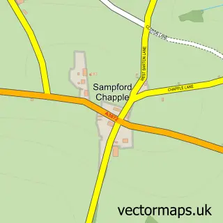
Nearby street map samples around South Zeal

More street maps in Devon
750 metre map area coverage
Boundary, postcode and point of interest information for the 750m x 750m rectangle centred on this sample map.
Boundaries containing map centre
Constituency: Central Devon Co Const
County: Devon County
District: West Devon District (B)
Icb: NHS Devon ICB
Parish: South Tawton CP
Police Force: devon and cornwall
Postcode District: EX20
Postcode Sector: EX20 2
Ward: South Tawton Ward
Nearby boundaries intersecting sample
No additional intersecting boundaries found.
Postcode coverage
POI category counts
Pub: 3
Accommodation: 1
Active Life: 1
Advertising Agency: 1
Anglican Church: 1
Auto Customization: 1
Elementary School: 1
Excavation Service: 1
Plumbing: 1
Post Office: 1
Sample points of interest
- The Oxenham Arms Restaurant
- South Zeal Recreation Ground
- Julia Wherrell Associates
- St Mary
- AW Tints & Vinyl
- South Tawton Primary School
- C. Guscott Plant Hire and Groundworks
- YourPlumber Exeter
- Post Office
- Zycopter
- Kings Arms
- Oxenham Arms
Create a larger editable map of South Zeal
This sample shows only a 750 metre area. To create a larger map of South Zeal, use our map builder to choose your own coverage area, add titles and download editable SVG, PDF and PNG files.
Create a custom map of South Zeal