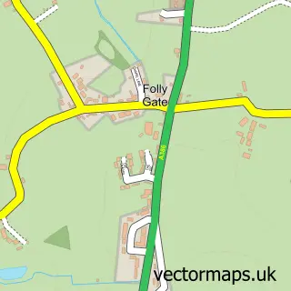
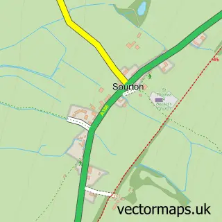
This Okehampton street map is a detailed vector street map covering a 750m x 750m area. Select a larger area to create and download your own vector street map of Okehampton.
The 750-metre map sample for Okehampton covers 346 mapped buildings and approximately 21.3 km of road detail, of which 43 named roads are named. The immediate area includes 1 school, 1 GP surgery, 8 pubs and 4 MOT stations, with 7 within 2 miles. The wider area around Okehampton features 11 tourism points of interest, 27 food and drink venues and 3 hotels. To create a larger or custom map of Okehampton, the map builder lets you define your own coverage area and download editable SVG, PDF and PNG files.
Create a larger editable map of Okehampton
Choose any area you need and generate a high-quality vector map instantly. Perfect for print, planning, design, business and personal use.

This Okehampton street map in Devon is available as downloadable SVG, PDF and PNG map files, or as a printed map for planning, business, display, education, local information and design work. You can also create a larger custom map area using the map selector.
What this Okehampton map sample shows
Okehampton lies within Okehampton Cp parish, part of Okehampton South ward in the West Devon District (B) local authority area. The postcode geography for this area includes the EX postcode area, the EX20 postcode district and the EX20 1 postcode sector. Residents fall under the Nhs Devon Integrated Care Board for NHS services.
Local features near Okehampton
Within 2 milesAmenities and services in and around Okehampton.
Administrative and postcode information for Okehampton
The local authority covering Okehampton is West Devon District (B), within the county of Devon. The settlement lies within Okehampton South ward and Okehampton Cp civil parish. The EX20 postcode district and EX20 1 postcode sector serve the immediate area. NHS provision in the area is delivered through Royal Devon University Healthcare Nhs Foundation Trust.
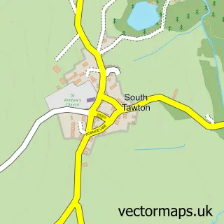
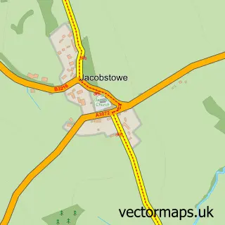
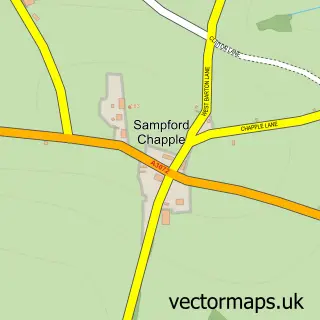
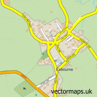
Nearby street map samples around Okehampton

More street maps in Devon
750 metre map area coverage
Boundary, postcode and point of interest information for the 750m x 750m rectangle centred on this sample map.
Boundaries containing map centre
Constituency: Central Devon Co Const
County: Devon County
District: West Devon District (B)
Icb: NHS Devon ICB
Parish: Okehampton CP
Police Force: devon and cornwall
Postcode District: EX20
Postcode Sector: EX20 1
Ward: Okehampton South Ward
Nearby boundaries intersecting sample
Ward: Okehampton North Ward
Postcode coverage
POI category counts
Cafe: 11
Real Estate Agent: 10
Beauty Salon: 8
Pub: 8
Arts And Crafts: 6
Charity Organization: 6
Flowers And Gifts Shop: 6
Antique Store: 5
Banks: 5
Barber: 5
Sample points of interest
- Chadmin
- Chadmin
- Haines Watts Okehampton
- The Okehampton Accountants
- Sam Hargreaves Acupuncture
- The Wellspring
- Advert Boards
- Leapfrog Digital Media
- The Group of Seven
- Ross Sizmur Livestock
- ALM Galleries
- Okehampton Show
Create a larger editable map of Okehampton
This sample shows only a 750 metre area. To create a larger map of Okehampton, use our map builder to choose your own coverage area, add titles and download editable SVG, PDF and PNG files.
Create a custom map of Okehampton