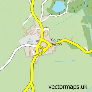
This Sticklepath street map is a detailed vector street map covering a 750m x 750m area. Select a larger area to create and download your own vector street map of Sticklepath.
The 750-metre map sample for Sticklepath covers 138 mapped buildings and approximately 12.0 km of road detail, of which 3 named roads are named. The immediate area includes 1 pub and 1 MOT station within 2 miles. The wider area around Sticklepath features 1 tourism point of interest and 3 food and drink venues. To create a larger or custom map of Sticklepath, the map builder lets you define your own coverage area and download editable SVG, PDF and PNG files.
Create a larger editable map of Sticklepath
Choose any area you need and generate a high-quality vector map instantly. Perfect for print, planning, design, business and personal use.

This Sticklepath street map in Devon is available as downloadable SVG, PDF and PNG map files, or as a printed map for planning, business, display, education, local information and design work. You can also create a larger custom map area using the map selector.
What this Sticklepath map sample shows
Sticklepath lies within Sticklepath Cp parish, part of South Tawton ward in the West Devon District (B) local authority area. The postcode geography for this area includes the EX postcode area, the EX20 postcode district and the EX20 2 postcode sector. Residents fall under the Nhs Devon Integrated Care Board for NHS services.
Local features near Sticklepath
Within 2 milesAmenities and services in and around Sticklepath.
Administrative and postcode information for Sticklepath
Sticklepath lies within Sticklepath Cp parish, part of South Tawton ward in the West Devon District (B) local authority area. The postcode geography for this area includes the EX postcode area, the EX20 postcode district and the EX20 2 postcode sector. Residents fall under the Nhs Devon Integrated Care Board for NHS services.
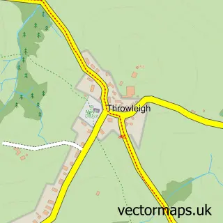
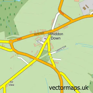
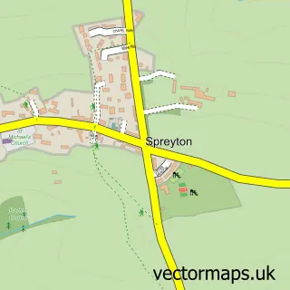
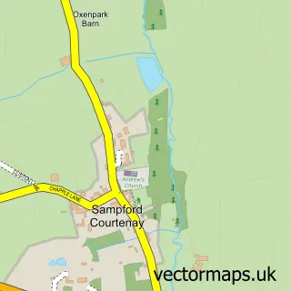
Nearby street map samples around Sticklepath
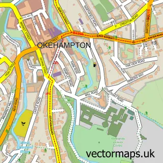

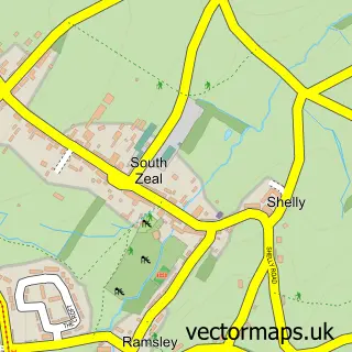
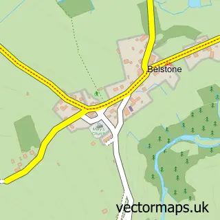

More street maps in Devon
750 metre map area coverage
Boundary, postcode and point of interest information for the 750m x 750m rectangle centred on this sample map.
Boundaries containing map centre
Constituency: Central Devon Co Const
County: Devon County
District: West Devon District (B)
Icb: NHS Devon ICB
Parish: Sticklepath CP
Police Force: devon and cornwall
Postcode District: EX20
Postcode Sector: EX20 2
Ward: South Tawton Ward
Nearby boundaries intersecting sample
Parish: Belstone CP, South Tawton CP
Postcode Sector: EX20 1
Postcode coverage
POI category counts
Post Office: 2
Anglican Church: 1
Auto Electrical Repair: 1
Automotive Repair: 1
Bed And Breakfast: 1
Building Supply Store: 1
Cafe: 1
Dog Trainer: 1
Flowers And Gifts Shop: 1
Forestry Service: 1
Sample points of interest
- St Mary's Sticklepath
- Ajelectrics
- Sticklepath Garage
- Tawburn House
- A J Electrics
- Sticklepath Stores & Cafe
- Harmony Dogs Devon
- Great British Blooms
- Obryen Woodland Consultants
- AE Garden Services
- Sticklepath Village, Place and People
- Metocean
Create a larger editable map of Sticklepath
This sample shows only a 750 metre area. To create a larger map of Sticklepath, use our map builder to choose your own coverage area, add titles and download editable SVG, PDF and PNG files.
Create a custom map of Sticklepath