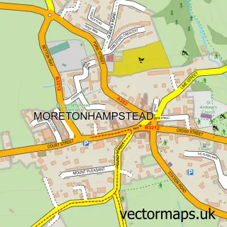
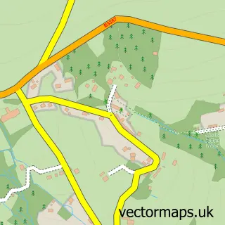
This Water street map is a detailed vector street map covering a 750m x 750m area. Select a larger area to create and download your own vector street map of Water.
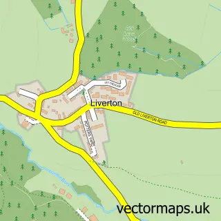
The 750-metre map sample for Water covers 79 mapped buildings and approximately 7.1 km of road detail. The immediate area includes 1 pub. The wider area around Water features 1 food and drink venue. To create a larger or custom map of Water, the map builder lets you define your own coverage area and download editable SVG, PDF and PNG files.
Create a larger editable map of Water
Choose any area you need and generate a high-quality vector map instantly. Perfect for print, planning, design, business and personal use.

This Water street map in Devon is available as downloadable SVG, PDF and PNG map files, or as a printed map for planning, business, display, education, local information and design work. You can also create a larger custom map area using the map selector.
What this Water map sample shows
Water lies within Manaton Cp parish, part of Moretonhampstead ward in the Teignbridge District local authority area. The postcode geography for this area includes the TQ postcode area, the TQ13 postcode district and the TQ13 9 postcode sector. Residents fall under the Nhs Devon Integrated Care Board for NHS services.
Local features near Water
Within 2 milesAmenities and services in and around Water.
Administrative and postcode information for Water
The local authority covering Water is Teignbridge District, within the county of Devon. The settlement lies within Moretonhampstead ward and Manaton Cp civil parish. The TQ13 postcode district and TQ13 9 postcode sector serve the immediate area. NHS provision in the area is delivered through Royal Devon University Healthcare Nhs Foundation Trust.
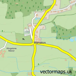
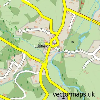
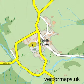
Nearby street map samples around Water

More street maps in Devon
750 metre map area coverage
Boundary, postcode and point of interest information for the 750m x 750m rectangle centred on this sample map.
Boundaries containing map centre
Constituency: Central Devon Co Const
County: Devon County
District: Teignbridge District
Icb: NHS Devon ICB
Parish: Manaton CP
Police Force: devon and cornwall
Postcode District: TQ13
Postcode Sector: TQ13 9
Ward: Moretonhampstead Ward
Nearby boundaries intersecting sample
No additional intersecting boundaries found.
Postcode coverage
POI category counts
Employment Agencies: 2
Accountant: 1
Financial Service: 1
Irish Pub: 1
Photography Store And Services: 1
Pub: 1
Sample points of interest
- Mary Wylie
- Insync Recruitment
- Pace Global Ltd.
- Kim Engineering Securities
- The Kestor Inn
- Dartmoor Photos
- Kestor Inn
Create a larger editable map of Water
This sample shows only a 750 metre area. To create a larger map of Water, use our map builder to choose your own coverage area, add titles and download editable SVG, PDF and PNG files.
Create a custom map of Water