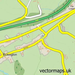
This Haytor Vale street map is a detailed vector street map covering a 750m x 750m area. Select a larger area to create and download your own vector street map of Haytor Vale.
The 750-metre map sample for Haytor Vale covers 82 mapped buildings and approximately 12.7 km of road detail. The immediate area includes 1 pub and 1 MOT station within 2 miles. The wider area around Haytor Vale features 2 tourism points of interest, 1 food and drink venue and 2 hotels. To create a larger or custom map of Haytor Vale, the map builder lets you define your own coverage area and download editable SVG, PDF and PNG files.
Create a larger editable map of Haytor Vale
Choose any area you need and generate a high-quality vector map instantly. Perfect for print, planning, design, business and personal use.

This Haytor Vale street map in Devon is available as downloadable SVG, PDF and PNG map files, or as a printed map for planning, business, display, education, local information and design work. You can also create a larger custom map area using the map selector.
What this Haytor Vale map sample shows
Haytor Vale lies within Ilsington Cp parish, part of Haytor ward in the Teignbridge District local authority area. The postcode geography for this area includes the TQ postcode area, the TQ13 postcode district and the TQ13 9 postcode sector. Residents fall under the Nhs Devon Integrated Care Board for NHS services.
Local features near Haytor Vale
Within 2 milesAmenities and services in and around Haytor Vale.
Administrative and postcode information for Haytor Vale
The local authority covering Haytor Vale is Teignbridge District, within the county of Devon. The settlement lies within Haytor ward and Ilsington Cp civil parish. The TQ13 postcode district and TQ13 9 postcode sector serve the immediate area. NHS provision in the area is delivered through Torbay And South Devon Nhs Foundation Trust.
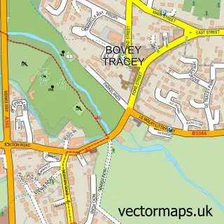
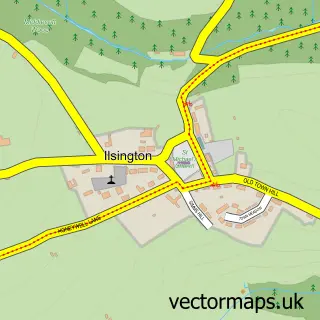
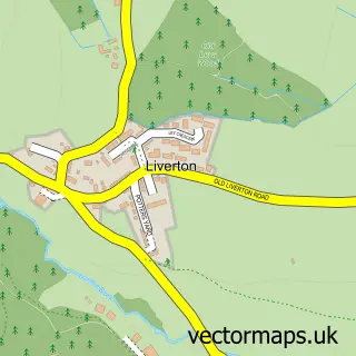
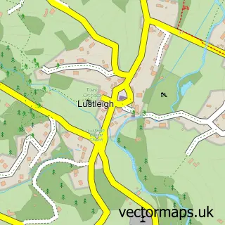
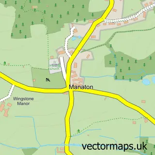
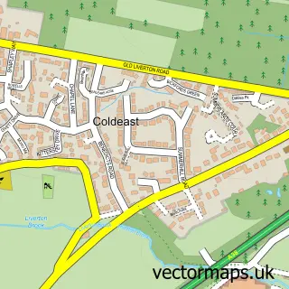
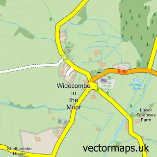
Nearby street map samples around Haytor Vale

More street maps in Devon
750 metre map area coverage
Boundary, postcode and point of interest information for the 750m x 750m rectangle centred on this sample map.
Boundaries containing map centre
Constituency: Central Devon Co Const
County: Devon County
District: Teignbridge District
Icb: NHS Devon ICB
Parish: Ilsington CP
Police Force: devon and cornwall
Postcode District: TQ13
Postcode Sector: TQ13 9
Ward: Haytor Ward
Nearby boundaries intersecting sample
No additional intersecting boundaries found.
Postcode coverage
POI category counts
Hotel: 2
Automotive Services And Repair: 1
Building Supply Store: 1
Campground: 1
Gastropub: 1
Hiking Trail: 1
National Park: 1
Professional Services: 1
Pub: 1
Visitor Center: 1
Sample points of interest
- Haytor Information Centre
- Faithfull Design
- Five Wyches Campsite Dartmoor
- Tinpickle & Rhum
- Haytor Vale
- Haytor Barns, holiday home rental on Dartmoor
- The Moorland Hotel
- Dartmoor National Park
- Broadleas Training & Camping Centre
- The Rock Inn
- The Moorland Hotel Haytor
Create a larger editable map of Haytor Vale
This sample shows only a 750 metre area. To create a larger map of Haytor Vale, use our map builder to choose your own coverage area, add titles and download editable SVG, PDF and PNG files.
Create a custom map of Haytor Vale