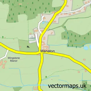
This Widecombe-in-the-Moor street map is a detailed vector street map covering a 750m x 750m area. Select a larger area to create and download your own vector street map of Widecombe-in-the-Moor.
The 750-metre map sample for Widecombe-in-the-Moor covers 65 mapped buildings and approximately 14.3 km of road detail. The immediate area includes 1 school and 1 pub. The wider area around Widecombe-in-the-Moor features 2 tourism points of interest, 2 food and drink venues and 1 hotel. To create a larger or custom map of Widecombe-in-the-Moor, the map builder lets you define your own coverage area and download editable SVG, PDF and PNG files.
Create a larger editable map of Widecombe-in-the-Moor
Choose any area you need and generate a high-quality vector map instantly. Perfect for print, planning, design, business and personal use.

This Widecombe-in-the-Moor street map in Devon is available as downloadable SVG, PDF and PNG map files, or as a printed map for planning, business, display, education, local information and design work. You can also create a larger custom map area using the map selector.
What this Widecombe-in-the-Moor map sample shows
Widecombe-in-the-Moor lies within Widecombe In The Moor Cp parish, part of Ashburton & Buckfastleigh ward in the Teignbridge District local authority area. The postcode geography for this area includes the TQ postcode area, the TQ13 postcode district and the TQ13 7 postcode sector. Residents fall under the Nhs Devon Integrated Care Board for NHS services.
Local features near Widecombe-in-the-Moor
Within 2 milesAmenities and services in and around Widecombe-in-the-Moor.
Administrative and postcode information for Widecombe-in-the-Moor
The local authority covering Widecombe-in-the-Moor is Teignbridge District, within the county of Devon. The settlement lies within Ashburton & Buckfastleigh ward and Widecombe In The Moor Cp civil parish. The TQ13 postcode district and TQ13 7 postcode sector serve the immediate area. NHS provision in the area is delivered through Royal Devon University Healthcare Nhs Foundation Trust.
Nearby street map samples around Widecombe-in-the-Moor
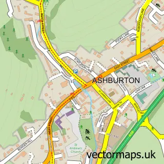

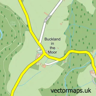
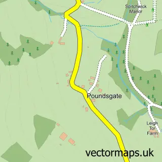
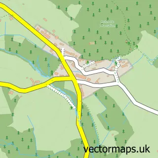
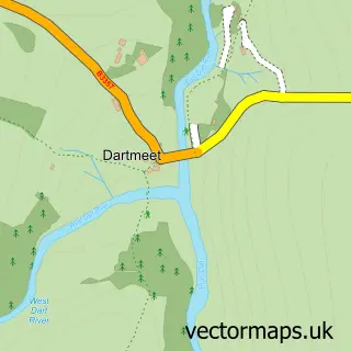

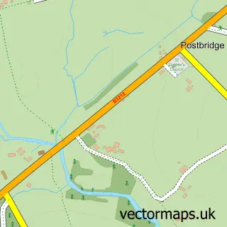
More street maps in Devon
750 metre map area coverage
Boundary, postcode and point of interest information for the 750m x 750m rectangle centred on this sample map.
Boundaries containing map centre
Constituency: Central Devon Co Const
County: Devon County
District: Teignbridge District
Icb: NHS Devon ICB
Parish: Widecombe in the Moor CP
Police Force: devon and cornwall
Postcode District: TQ13
Postcode Sector: TQ13 7
Ward: Ashburton & Buckfastleigh Ward
Nearby boundaries intersecting sample
No additional intersecting boundaries found.
Postcode coverage
POI category counts
Elementary School: 2
Anglican Church: 1
Art Gallery: 1
Beer Garden: 1
Cafe: 1
Campground: 1
Church Cathedral: 1
Farmers Market: 1
Flowers And Gifts Shop: 1
Gift Shop: 1
Sample points of interest
- St Pancras, Widecombe-in-the-Moor
- Sexton's Cottage Dartmoor Gallery and Gifts
- Rugglestone Inn
- Cafe On The Green
- Dartmoor Camping Widecombe Valley
- Church of Saint Pancras, Widecombe-in-the-Moor
- Widecombe Pre-school & Toddlers
- Widecombe Primary School
- Widecombe Village Produce Market
- The Smithy
- National Trust Shop
- The Hayloft. Widecombe in the Moor
Create a larger editable map of Widecombe-in-the-Moor
This sample shows only a 750 metre area. To create a larger map of Widecombe-in-the-Moor, use our map builder to choose your own coverage area, add titles and download editable SVG, PDF and PNG files.
Create a custom map of Widecombe-in-the-Moor