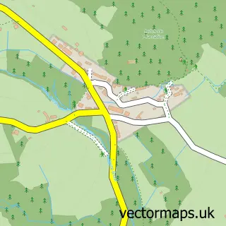
This Postbridge street map is a detailed vector street map covering a 750m x 750m area. Select a larger area to create and download your own vector street map of Postbridge.
The 750-metre map sample for Postbridge covers 50 mapped buildings and approximately 9.2 km of road detail. The wider area around Postbridge features 2 tourism points of interest and 2 hotels. To create a larger or custom map of Postbridge, the map builder lets you define your own coverage area and download editable SVG, PDF and PNG files.
Create a larger editable map of Postbridge
Choose any area you need and generate a high-quality vector map instantly. Perfect for print, planning, design, business and personal use.

This Postbridge street map in Devon is available as downloadable SVG, PDF and PNG map files, or as a printed map for planning, business, display, education, local information and design work. You can also create a larger custom map area using the map selector.
What this Postbridge map sample shows
Postbridge lies within Dartmoor Forest Cp parish, part of Dartmoor ward in the West Devon District (B) local authority area. The postcode geography for this area includes the PL postcode area, the PL20 postcode district and the PL20 6 postcode sector. Residents fall under the Nhs Devon Integrated Care Board for NHS services.
Local features near Postbridge
Within 2 milesAmenities and services in and around Postbridge.
Administrative and postcode information for Postbridge
Postbridge lies within Dartmoor Forest Cp parish, part of Dartmoor ward in the West Devon District (B) local authority area. The postcode geography for this area includes the PL postcode area, the PL20 postcode district and the PL20 6 postcode sector. Residents fall under the Nhs Devon Integrated Care Board for NHS services.
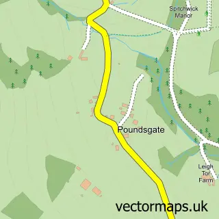
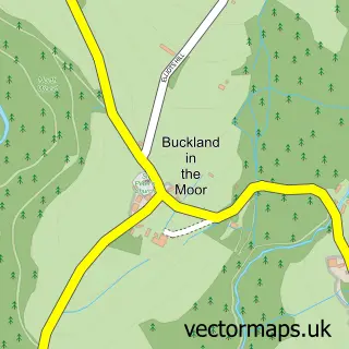
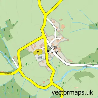
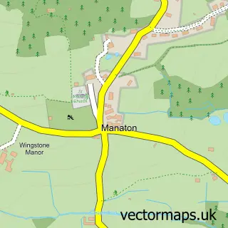
Nearby street map samples around Postbridge

More street maps in Devon
750 metre map area coverage
Boundary, postcode and point of interest information for the 750m x 750m rectangle centred on this sample map.
Boundaries containing map centre
Constituency: Torridge and Tavistock Co Const
County: Devon County
District: West Devon District (B)
Icb: NHS Devon ICB
Parish: Dartmoor Forest CP
Police Force: devon and cornwall
Postcode District: PL20
Postcode Sector: PL20 6
Ward: Dartmoor Ward
Nearby boundaries intersecting sample
No additional intersecting boundaries found.
Postcode coverage
POI category counts
Bed And Breakfast: 4
Bridge: 2
Hotel: 2
Park: 2
Anglican Church: 1
Convenience Store: 1
Ev Charging Station: 1
Hiking Trail: 1
Professional Services: 1
Shopping: 1
Sample points of interest
- St Gabriel, Postbridge
- Archerton Boutique Dartmoor B&B
- Beechwood B&B
- Beechwood B&B on Dartmoor
- Dartfordleigh Holidays
- Postbridge Clapper Bridge
- The Clapper Bridge
- Postbridge stores
- Postbridge Visitor Centre car park,
- Bellever Woods, Dartmoor
- East Dart Inn
- Lydgate House Hotel
Create a larger editable map of Postbridge
This sample shows only a 750 metre area. To create a larger map of Postbridge, use our map builder to choose your own coverage area, add titles and download editable SVG, PDF and PNG files.
Create a custom map of Postbridge