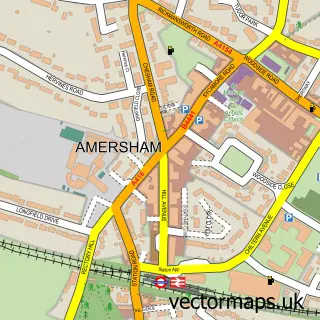
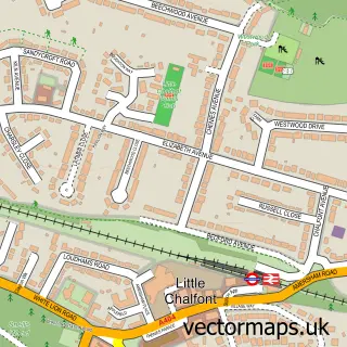
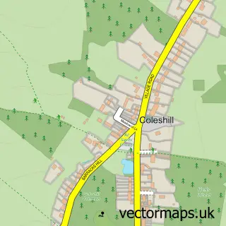
This Chesham Bois street map is a detailed vector street map covering a 750m x 750m area. Select a larger area to create and download your own vector street map of Chesham Bois.
The 750-metre map sample for Chesham Bois covers 291 mapped buildings and approximately 13.4 km of road detail, of which 21 named roads are named. The immediate area includes 1 school, 5 GP surgeries within 2 miles and 13 MOT stations within 2 miles. To create a larger or custom map of Chesham Bois, the map builder lets you define your own coverage area and download editable SVG, PDF and PNG files.
Create a larger editable map of Chesham Bois
Choose any area you need and generate a high-quality vector map instantly. Perfect for print, planning, design, business and personal use.

This Chesham Bois street map in Buckinghamshire is available as downloadable SVG, PDF and PNG map files, or as a printed map for planning, business, display, education, local information and design work. You can also create a larger custom map area using the map selector.
What this Chesham Bois map sample shows
Chesham Bois lies within Chesham Bois Cp parish, part of Chesham Bois And Weedon Hill ward in the Buckinghamshire local authority area. The postcode geography for this area includes the HP postcode area, the HP6 postcode district and the HP6 5 postcode sector. Residents fall under the Nhs Buckinghamshire, Oxfordshire And Berkshire West Integrated Care Board for NHS services.
Local features near Chesham Bois
Within 2 milesAmenities and services in and around Chesham Bois.
Administrative and postcode information for Chesham Bois
Chesham Bois lies within Chesham Bois Cp parish, part of Chesham Bois And Weedon Hill ward in the Buckinghamshire local authority area. The postcode geography for this area includes the HP postcode area, the HP6 postcode district and the HP6 5 postcode sector. Residents fall under the Nhs Buckinghamshire, Oxfordshire And Berkshire West Integrated Care Board for NHS services.
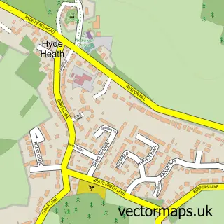
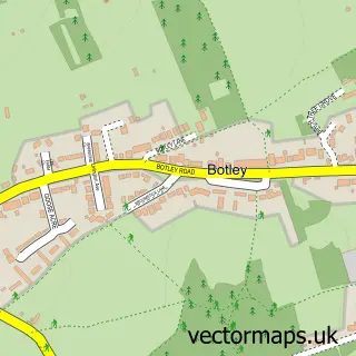
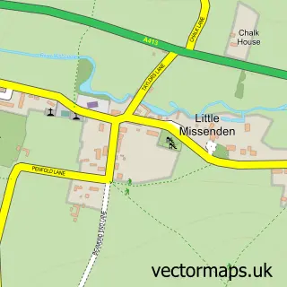
Nearby street map samples around Chesham Bois

More street maps in Buckinghamshire
750 metre map area coverage
Boundary, postcode and point of interest information for the 750m x 750m rectangle centred on this sample map.
Boundaries containing map centre
Constituency: Chesham and Amersham Co Const
District: Buckinghamshire
Icb: NHS Thames Valley ICB
Parish: Chesham Bois CP
Police Force: thames valley
Postcode District: HP6
Postcode Sector: HP6 5
Ward: Amersham & Chesham Bois Ward
Nearby boundaries intersecting sample
Parish: Amersham CP
Postcode coverage
POI category counts
Professional Services: 2
Advertising Agency: 1
Building Supply Store: 1
Elementary School: 1
Event Technology Service: 1
Hair Extensions: 1
Personal Care Service: 1
Private School: 1
Swimming Instructor: 1
Sample points of interest
- Hub Marketing Services Trading House of Fox & Chave
- GTB Services
- Beacon School
- Karen Puttick
- Sassy Weaves Hair Extensions
- Everyeventuality
- The Beacon
- Amersham Town Council
- Hazel Hurley Limited
- Seriously FUN Swimming Schools
Create a larger editable map of Chesham Bois
This sample shows only a 750 metre area. To create a larger map of Chesham Bois, use our map builder to choose your own coverage area, add titles and download editable SVG, PDF and PNG files.
Create a custom map of Chesham Bois