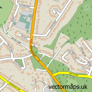
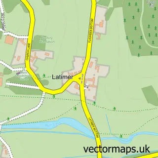
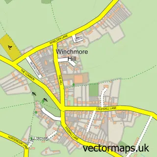
This Amersham street map is a detailed vector street map covering a 750m x 750m area. Select a larger area to create and download your own vector street map of Amersham.
The 750-metre map sample for Amersham covers 303 mapped buildings and approximately 16.2 km of road detail, of which 29 named roads are named. The immediate area includes 2 schools, 1 railway station, 1 GP surgery, with 4 within 2 miles and 2 pubs among other local services. The wider area around Amersham features 3 tourism points of interest, 19 food and drink venues and 1 hotel. To create a larger or custom map of Amersham, the map builder lets you define your own coverage area and download editable SVG, PDF and PNG files.
Create a larger editable map of Amersham
Choose any area you need and generate a high-quality vector map instantly. Perfect for print, planning, design, business and personal use.

This Amersham street map in Buckinghamshire is available as downloadable SVG, PDF and PNG map files, or as a printed map for planning, business, display, education, local information and design work. You can also create a larger custom map area using the map selector.
What this Amersham map sample shows
Amersham lies within Amersham Cp parish, part of Chesham Bois And Weedon Hill ward in the Buckinghamshire local authority area. The postcode geography for this area includes the HP postcode area, the HP6 postcode district and the HP6 5 postcode sector. Residents fall under the Nhs Buckinghamshire, Oxfordshire And Berkshire West Integrated Care Board for NHS services.
Local features near Amersham
Within 2 milesAmenities and services in and around Amersham.
Administrative and postcode information for Amersham
The local authority covering Amersham is Buckinghamshire, within the county of Buckinghamshire. The settlement lies within Chesham Bois And Weedon Hill ward and Amersham Cp civil parish. The HP6 postcode district and HP6 5 postcode sector serve the immediate area. NHS provision in the area is delivered through Buckinghamshire Healthcare Nhs Trust.
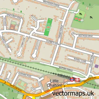
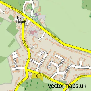
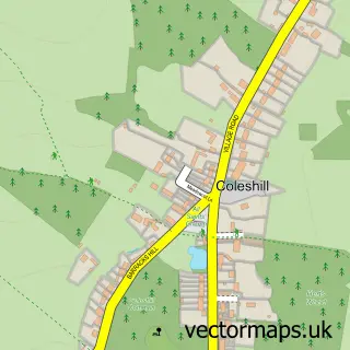
Nearby street map samples around Amersham

More street maps in Buckinghamshire
750 metre map area coverage
Boundary, postcode and point of interest information for the 750m x 750m rectangle centred on this sample map.
Boundaries containing map centre
Constituency: Chesham and Amersham Co Const
District: Buckinghamshire
Icb: NHS Thames Valley ICB
Parish: Amersham CP
Police Force: thames valley
Postcode District: HP6
Postcode Sector: HP6 5
Ward: Amersham & Chesham Bois Ward
Nearby boundaries intersecting sample
Postcode District: HP7
Postcode Sector: HP6 6, HP7 0, HP7 9
Postcode coverage
POI category counts
Real Estate Agent: 16
Charity Organization: 10
Beauty Salon: 8
Cafe: 8
Dentist: 8
Dry Cleaning: 8
Hair Salon: 8
Retail: 8
Clothing Store: 7
Contractor: 6
Sample points of interest
- TaxAssist Accountants
- Acupuncture Polyclinic Chinese medicine
- Local Directory Ltd.
- Very Media
- Chiltern Hypnotherapy
- St. Michael & All Angels C Of E Church
- RSPCA
- Age UK
- Cargo Homeshop
- Amersham Haberdashery at Simply The Best
- Bojangles
- Abbeyfield
Create a larger editable map of Amersham
This sample shows only a 750 metre area. To create a larger map of Amersham, use our map builder to choose your own coverage area, add titles and download editable SVG, PDF and PNG files.
Create a custom map of Amersham