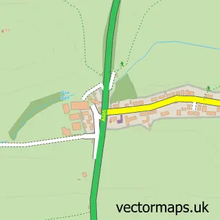
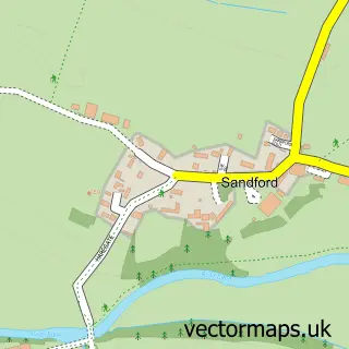
This Church Brough street map is a detailed vector street map covering a 750m x 750m area. Select a larger area to create and download your own vector street map of Church Brough.
The 750-metre map sample for Church Brough covers 79 mapped buildings and approximately 10.2 km of road detail, of which 2 named roads are named. The immediate area includes 1 school and 1 MOT station within 2 miles. The wider area around Church Brough features 1 tourism point of interest and 1 hotel. To create a larger or custom map of Church Brough, the map builder lets you define your own coverage area and download editable SVG, PDF and PNG files.
Create a larger editable map of Church Brough
Choose any area you need and generate a high-quality vector map instantly. Perfect for print, planning, design, business and personal use.

This Church Brough street map in Cumbria is available as downloadable SVG, PDF and PNG map files, or as a printed map for planning, business, display, education, local information and design work. You can also create a larger custom map area using the map selector.
What this Church Brough map sample shows
Church Brough lies within Brough Cp parish, part of Brough ward in the Westmorland And Furness local authority area. The postcode geography for this area includes the CA postcode area, the CA17 postcode district and the CA17 4 postcode sector. Residents fall under the Nhs North East And North Cumbria Integrated Care Board for NHS services.
Local features near Church Brough
Within 2 milesAmenities and services in and around Church Brough.
Administrative and postcode information for Church Brough
Church Brough lies within Brough Cp parish, part of Brough ward in the Westmorland And Furness local authority area. The postcode geography for this area includes the CA postcode area, the CA17 postcode district and the CA17 4 postcode sector. Residents fall under the Nhs North East And North Cumbria Integrated Care Board for NHS services.
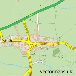
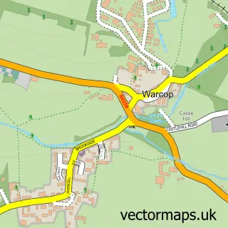
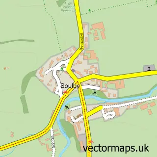
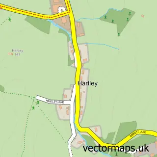
Nearby street map samples around Church Brough

More street maps in Cumbria
750 metre map area coverage
Boundary, postcode and point of interest information for the 750m x 750m rectangle centred on this sample map.
Boundaries containing map centre
Constituency: Westmorland and Lonsdale Co Const
District: Westmorland and Furness
Icb: NHS North East and North Cumbria ICB
Parish: Brough CP
Police Force: cumbria
Postcode District: CA17
Postcode Sector: CA17 4
Ward: Appleby and Brough Ward
Nearby boundaries intersecting sample
No additional intersecting boundaries found.
Postcode coverage
POI category counts
Elementary School: 2
Amateur Sports Team: 1
Anglican Church: 1
Castle: 1
Church Cathedral: 1
Community Services Non Profits: 1
Hotel: 1
Ice Cream Shop: 1
Machine And Tool Rentals: 1
Public And Government Association: 1
Sample points of interest
- Brough Football Club
- St Michaels, Brough
- Brough Castle
- Church Brough
- Kirkby Stephen Parish Church
- Brough Community Primary School
- Brough Community Primary School
- Blue Heron Lodge - Cumbria
- Brough Castle Ice Cream Parlour & Tearoom
- Wearmouth Plant Hire
- Kirkby Stephen Parish Council
- St Michael's Church Bells Restoration Project Church Brough
Create a larger editable map of Church Brough
This sample shows only a 750 metre area. To create a larger map of Church Brough, use our map builder to choose your own coverage area, add titles and download editable SVG, PDF and PNG files.
Create a custom map of Church Brough