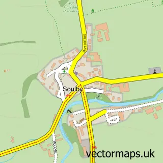
This Kirkby Stephen street map is a detailed vector street map covering a 750m x 750m area. Select a larger area to create and download your own vector street map of Kirkby Stephen.
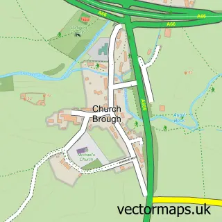
The 750-metre map sample for Kirkby Stephen covers 249 mapped buildings and approximately 14.0 km of road detail, of which 21 named roads are named. The immediate area includes 1 primary school and 1 secondary school, 1 GP surgery, 6 pubs and 5 MOT stations within 2 miles. The wider area around Kirkby Stephen features 2 tourism points of interest, 14 food and drink venues and 2 hotels. To create a larger or custom map of Kirkby Stephen, the map builder lets you define your own coverage area and download editable SVG, PDF and PNG files.
Create a larger editable map of Kirkby Stephen
Choose any area you need and generate a high-quality vector map instantly. Perfect for print, planning, design, business and personal use.

This Kirkby Stephen street map in Cumbria is available as downloadable SVG, PDF and PNG map files, or as a printed map for planning, business, display, education, local information and design work. You can also create a larger custom map area using the map selector.
What this Kirkby Stephen map sample shows
Kirkby Stephen lies within Hartley Cp parish, part of Kirkby Stephen ward in the Westmorland And Furness local authority area. The postcode geography for this area includes the CA postcode area, the CA17 postcode district and the CA17 4 postcode sector. Residents fall under the Nhs North East And North Cumbria Integrated Care Board for NHS services.
Local features near Kirkby Stephen
Within 2 milesAmenities and services in and around Kirkby Stephen.
Administrative and postcode information for Kirkby Stephen
Kirkby Stephen lies within Hartley Cp parish, part of Kirkby Stephen ward in the Westmorland And Furness local authority area. The postcode geography for this area includes the CA postcode area, the CA17 postcode district and the CA17 4 postcode sector. Residents fall under the Nhs North East And North Cumbria Integrated Care Board for NHS services.
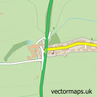
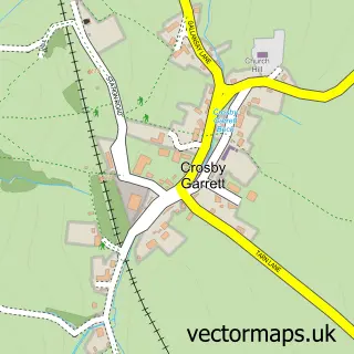
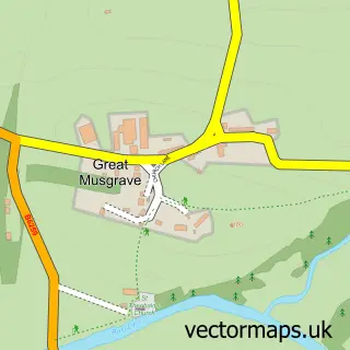
Nearby street map samples around Kirkby Stephen

More street maps in Cumbria
750 metre map area coverage
Boundary, postcode and point of interest information for the 750m x 750m rectangle centred on this sample map.
Boundaries containing map centre
Constituency: Westmorland and Lonsdale Co Const
District: Westmorland and Furness
Icb: NHS North East and North Cumbria ICB
Parish: Kirkby Stephen CP
Police Force: cumbria
Postcode District: CA17
Postcode Sector: CA17 4
Ward: Kirkby Stephen and Tebay Ward
Nearby boundaries intersecting sample
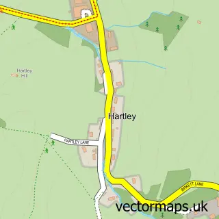
Parish: Hartley CP
Postcode coverage
POI category counts
Pub: 6
Community Services Non Profits: 5
Beauty Salon: 4
Motorcycle Dealer: 4
Accountant: 3
Bakery: 3
Bed And Breakfast: 3
Cafe: 3
Convenience Store: 3
Flowers And Gifts Shop: 3
Sample points of interest
- J Andrew
- J Noel Paul & Co.
- John Andrew Chartered Accountant
- Haughey Antiques
- FAME Entertainment - UK
- Shared Experience
- Harrison & Hetherington
- Kirkby Stephen Auction Mart
- Johnstone's Garage
- Beagle's Bakes and Baguettes
- Brysons Bakery and Coffee Shop
- The Cake Orchard
Create a larger editable map of Kirkby Stephen
This sample shows only a 750 metre area. To create a larger map of Kirkby Stephen, use our map builder to choose your own coverage area, add titles and download editable SVG, PDF and PNG files.
Create a custom map of Kirkby Stephen