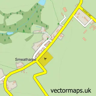
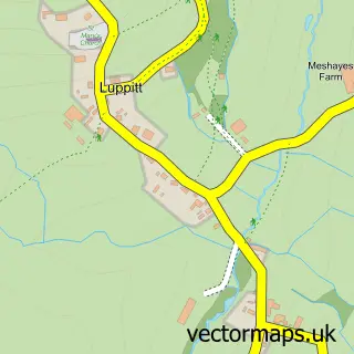
This Churchinford street map is a detailed vector street map covering a 750m x 750m area. Select a larger area to create and download your own vector street map of Churchinford.
The 750-metre map sample for Churchinford covers 149 mapped buildings and approximately 11.8 km of road detail, of which 8 named roads are named. The immediate area includes 1 pub. The wider area around Churchinford features 1 food and drink venue. To create a larger or custom map of Churchinford, the map builder lets you define your own coverage area and download editable SVG, PDF and PNG files.
Create a larger editable map of Churchinford
Choose any area you need and generate a high-quality vector map instantly. Perfect for print, planning, design, business and personal use.

This Churchinford street map in Somerset is available as downloadable SVG, PDF and PNG map files, or as a printed map for planning, business, display, education, local information and design work. You can also create a larger custom map area using the map selector.
What this Churchinford map sample shows
Churchinford lies within Churchstanton Cp parish, part of Hatch & Blackdown ward in the Somerset local authority area. The postcode geography for this area includes the TA postcode area, the TA3 postcode district and the TA3 7 postcode sector. Residents fall under the Nhs Somerset Integrated Care Board for NHS services.
Local features near Churchinford
Within 2 milesAmenities and services in and around Churchinford.
Administrative and postcode information for Churchinford
Churchinford lies within Churchstanton Cp parish, part of Hatch & Blackdown ward in the Somerset local authority area. The postcode geography for this area includes the TA postcode area, the TA3 postcode district and the TA3 7 postcode sector. Residents fall under the Nhs Somerset Integrated Care Board for NHS services.
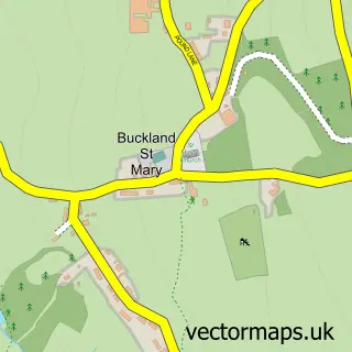
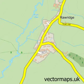
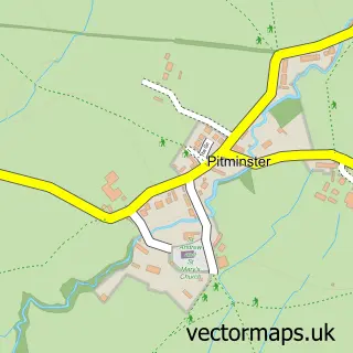
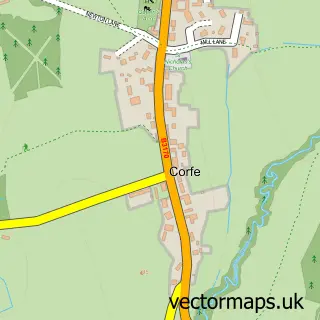
Nearby street map samples around Churchinford

More street maps in Somerset
750 metre map area coverage
Boundary, postcode and point of interest information for the 750m x 750m rectangle centred on this sample map.
Boundaries containing map centre
Constituency: Taunton and Wellington Co Const
District: Somerset
Icb: NHS Somerset ICB
Parish: Churchstanton CP
Police Force: avon and somerset
Postcode District: TA3
Postcode Sector: TA3 7
Nearby boundaries intersecting sample
No additional intersecting boundaries found.
Postcode coverage
POI category counts
Land Surveying: 2
Arts And Crafts: 1
Ceiling Service: 1
Dance Club: 1
Doctor: 1
Financial Service: 1
Home Cleaning: 1
Kids Recreation And Party: 1
Medical Center: 1
Post Office: 1
Sample points of interest
- Transform Ornamental Screens
- Ferrari The Thatcher
- Nitelife Events
- The Blackdown Practice
- Western Union
- We Clean Kitchens - South West
- The FLY Fishing Instructor
- Bondstones
- Roger S Hayward Chartered Surveyors
- Hummingbird Care
- Churchinford Post Office
- Churchinford Pre-School
Create a larger editable map of Churchinford
This sample shows only a 750 metre area. To create a larger map of Churchinford, use our map builder to choose your own coverage area, add titles and download editable SVG, PDF and PNG files.
Create a custom map of Churchinford