This Smeatharpe street map is a detailed vector street map covering a 750m x 750m area. Select a larger area to create and download your own vector street map of Smeatharpe.
The 750-metre map sample for Smeatharpe covers 63 mapped buildings and approximately 6.5 km of road detail, of which 1 named road are named. To create a larger or custom map of Smeatharpe, the map builder lets you define your own coverage area and download editable SVG, PDF and PNG files.
Create a larger editable map of Smeatharpe
Choose any area you need and generate a high-quality vector map instantly. Perfect for print, planning, design, business and personal use.

This Smeatharpe street map in Devon is available as downloadable SVG, PDF and PNG map files, or as a printed map for planning, business, display, education, local information and design work. You can also create a larger custom map area using the map selector.
What this Smeatharpe map sample shows
Smeatharpe lies within Upottery Cp parish, part of Dunkeswell & Otterhead ward in the East Devon District local authority area. The postcode geography for this area includes the EX postcode area, the EX14 postcode district and the EX14 9 postcode sector. Residents fall under the Nhs Devon Integrated Care Board for NHS services.
Administrative and postcode information for Smeatharpe
Smeatharpe lies within Upottery Cp parish, part of Dunkeswell & Otterhead ward in the East Devon District local authority area. The postcode geography for this area includes the EX postcode area, the EX14 postcode district and the EX14 9 postcode sector. Residents fall under the Nhs Devon Integrated Care Board for NHS services.
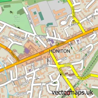
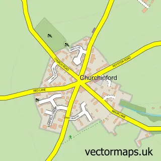
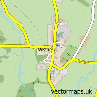
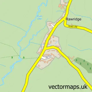
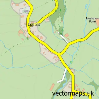
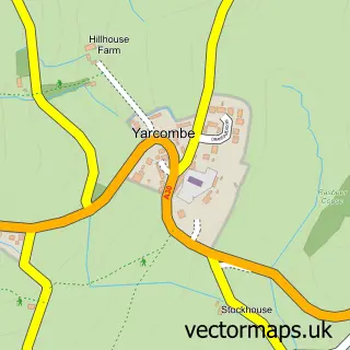
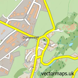
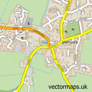
Nearby street map samples around Smeatharpe

More street maps in Devon
750 metre map area coverage
Boundary, postcode and point of interest information for the 750m x 750m rectangle centred on this sample map.
Boundaries containing map centre
Constituency: Honiton and Sidmouth Co Const
County: Devon County
District: East Devon District
Icb: NHS Devon ICB
Parish: Upottery CP
Police Force: devon and cornwall
Postcode District: EX14
Postcode Sector: EX14 9
Ward: Dunkeswell & Otterhead Ward
Nearby boundaries intersecting sample
Constituency: Taunton and Wellington Co Const, Tiverton and Minehead Co Const
District: Mid Devon District, Somerset
Icb: NHS Somerset ICB
Parish: Churchstanton CP, Clayhidon CP
Police Force: avon and somerset
Postcode District: EX15, TA3
Postcode Sector: EX15 3, TA3 7
Ward: Upper Culm Ward
Postcode coverage
POI category counts
Airport: 1
Contractor: 1
Farmers Market: 1
Sample points of interest
- Upottery Airfield
- Astute Building
- Highlands Farm Shop
Create a larger editable map of Smeatharpe
This sample shows only a 750 metre area. To create a larger map of Smeatharpe, use our map builder to choose your own coverage area, add titles and download editable SVG, PDF and PNG files.
Create a custom map of Smeatharpe