This Dunkeswell street map is a detailed vector street map covering a 750m x 750m area. Select a larger area to create and download your own vector street map of Dunkeswell.
The 750-metre map sample for Dunkeswell covers 178 mapped buildings and approximately 12.9 km of road detail, of which 5 named roads are named. The immediate area includes 1 MOT station within 2 miles. The wider area around Dunkeswell features 2 tourism points of interest and 3 food and drink venues. To create a larger or custom map of Dunkeswell, the map builder lets you define your own coverage area and download editable SVG, PDF and PNG files.
Create a larger editable map of Dunkeswell
Choose any area you need and generate a high-quality vector map instantly. Perfect for print, planning, design, business and personal use.

This Dunkeswell street map in Devon is available as downloadable SVG, PDF and PNG map files, or as a printed map for planning, business, display, education, local information and design work. You can also create a larger custom map area using the map selector.
What this Dunkeswell map sample shows
Dunkeswell lies within Dunkeswell Cp parish, part of Dunkeswell & Otterhead ward in the East Devon District local authority area. The postcode geography for this area includes the EX postcode area, the EX14 postcode district and the EX14 4 postcode sector. Residents fall under the Nhs Devon Integrated Care Board for NHS services.
Local features near Dunkeswell
Within 2 milesAmenities and services in and around Dunkeswell.
Administrative and postcode information for Dunkeswell
Dunkeswell lies within Dunkeswell Cp parish, part of Dunkeswell & Otterhead ward in the East Devon District local authority area. The postcode geography for this area includes the EX postcode area, the EX14 postcode district and the EX14 4 postcode sector. Residents fall under the Nhs Devon Integrated Care Board for NHS services.
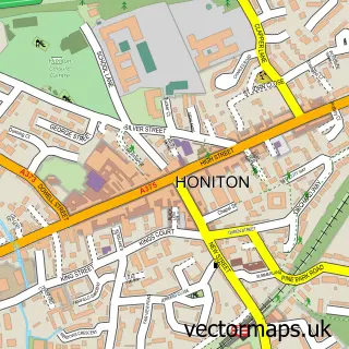
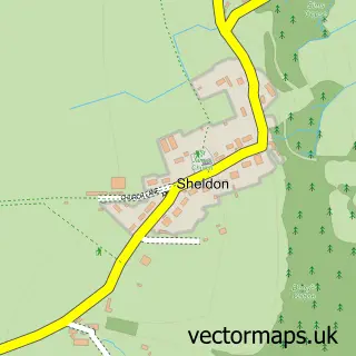
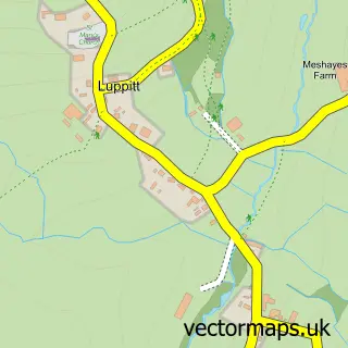
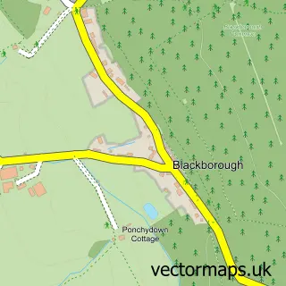
Nearby street map samples around Dunkeswell

More street maps in Devon
750 metre map area coverage
Boundary, postcode and point of interest information for the 750m x 750m rectangle centred on this sample map.
Boundaries containing map centre
Constituency: Honiton and Sidmouth Co Const
County: Devon County
District: East Devon District
Icb: NHS Devon ICB
Parish: Dunkeswell CP
Police Force: devon and cornwall
Postcode District: EX14
Postcode Sector: EX14 4
Ward: Dunkeswell & Otterhead Ward
Nearby boundaries intersecting sample
No additional intersecting boundaries found.
Postcode coverage
POI category counts
Hvac Services: 4
Industrial Equipment: 4
Gift Shop: 3
Shopping: 3
Automotive Repair: 2
Building Supply Store: 2
Business Manufacturing And Supply: 2
Carpenter: 2
Countertop Installation: 2
Dog Walkers: 2
Sample points of interest
- New Horizons
- CAS Dunkeswell
- Dunkeswell Aerodrome
- St Nicholas, Dunkeswell
- Nana's Attic
- Tactek Services
- Exoracing LTD
- Airfield Classic Cars
- Dragon Performance
- Dragon Performance
- LP Autotech Jaguar Specialist
- Velo Brands
Create a larger editable map of Dunkeswell
This sample shows only a 750 metre area. To create a larger map of Dunkeswell, use our map builder to choose your own coverage area, add titles and download editable SVG, PDF and PNG files.
Create a custom map of Dunkeswell