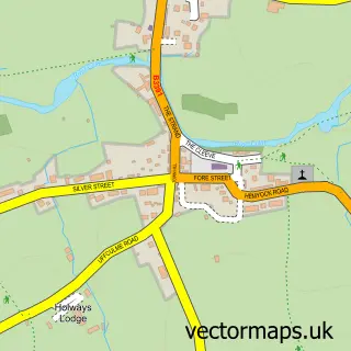
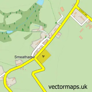
This Hemyock street map is a detailed vector street map covering a 750m x 750m area. Select a larger area to create and download your own vector street map of Hemyock.
The 750-metre map sample for Hemyock covers 378 mapped buildings and approximately 14.1 km of road detail, of which 27 named roads are named. The immediate area includes 1 school, 1 GP surgery, 2 pubs and 1 MOT station within 2 miles. The wider area around Hemyock features 1 tourism point of interest and 2 food and drink venues. To create a larger or custom map of Hemyock, the map builder lets you define your own coverage area and download editable SVG, PDF and PNG files.
Create a larger editable map of Hemyock
Choose any area you need and generate a high-quality vector map instantly. Perfect for print, planning, design, business and personal use.

This Hemyock street map in Devon is available as downloadable SVG, PDF and PNG map files, or as a printed map for planning, business, display, education, local information and design work. You can also create a larger custom map area using the map selector.
What this Hemyock map sample shows
Hemyock lies within Hemyock Cp parish, part of Upper Culm ward in the Mid Devon District local authority area. The postcode geography for this area includes the EX postcode area, the EX15 postcode district and the EX15 3 postcode sector. Residents fall under the Nhs Devon Integrated Care Board for NHS services.
Local features near Hemyock
Within 2 milesAmenities and services in and around Hemyock.
Administrative and postcode information for Hemyock
The local authority covering Hemyock is Mid Devon District, within the county of Devon. The settlement lies within Upper Culm ward and Hemyock Cp civil parish. The EX15 postcode district and EX15 3 postcode sector serve the immediate area. NHS provision in the area is delivered through Royal Devon University Healthcare Nhs Foundation Trust.
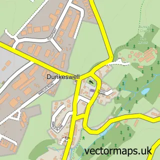
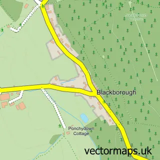
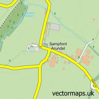
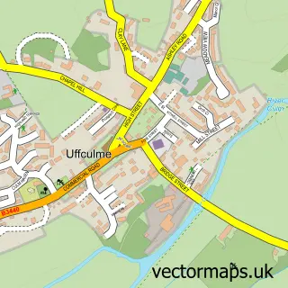
Nearby street map samples around Hemyock

More street maps in Devon
750 metre map area coverage
Boundary, postcode and point of interest information for the 750m x 750m rectangle centred on this sample map.
Boundaries containing map centre
Constituency: Tiverton and Minehead Co Const
County: Devon County
District: Mid Devon District
Icb: NHS Devon ICB
Parish: Hemyock CP
Police Force: devon and cornwall
Postcode District: EX15
Postcode Sector: EX15 3
Ward: Upper Culm Ward
Nearby boundaries intersecting sample
No additional intersecting boundaries found.
Postcode coverage
POI category counts
Electrician: 3
Financial Service: 3
Beauty Salon: 2
Bed And Breakfast: 2
Building Supply Store: 2
Carpenter: 2
Convenience Store: 2
Doctor: 2
Medical Center: 2
Pest Control Service: 2
Sample points of interest
- Bruton Young Bookkeeping
- St Mary's
- Landfall3DArt
- D B Body'S
- Beauty at No 8
- The Hair Lounge
- Brook House
- Elliott
- Fensec Ltd.
- Inspired Landscape & Garden Design
- Greatwood Carpentry
- Pring & Son
Create a larger editable map of Hemyock
This sample shows only a 750 metre area. To create a larger map of Hemyock, use our map builder to choose your own coverage area, add titles and download editable SVG, PDF and PNG files.
Create a custom map of Hemyock