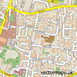
This Churt street map is a detailed vector street map covering a 750m x 750m area. Select a larger area to create and download your own vector street map of Churt.
The 750-metre map sample for Churt covers 257 mapped buildings and approximately 12.8 km of road detail, of which 14 named roads are named. The immediate area includes 1 school, 1 pub and 1 MOT station, with 2 within 2 miles. The wider area around Churt features 3 food and drink venues. To create a larger or custom map of Churt, the map builder lets you define your own coverage area and download editable SVG, PDF and PNG files.
Create a larger editable map of Churt
Choose any area you need and generate a high-quality vector map instantly. Perfect for print, planning, design, business and personal use.

This Churt street map in Surrey is available as downloadable SVG, PDF and PNG map files, or as a printed map for planning, business, display, education, local information and design work. You can also create a larger custom map area using the map selector.
What this Churt map sample shows
Churt lies within Churt Cp parish, part of Frensham, Dockenfield And Tilford ward in the Waverley District (B) local authority area. The postcode geography for this area includes the GU postcode area, the GU10 postcode district and the GU10 2 postcode sector. Residents fall under the Nhs Surrey Heartlands Integrated Care Board for NHS services.
Local features near Churt
Within 2 milesAmenities and services in and around Churt.
Administrative and postcode information for Churt
The local authority covering Churt is Waverley District (B), within the county of Surrey. The settlement lies within Frensham, Dockenfield And Tilford ward and Churt Cp civil parish. The GU10 postcode district and GU10 2 postcode sector serve the immediate area. NHS provision in the area is delivered through Royal Surrey County Hospital Nhs Foundation Trust.
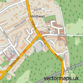
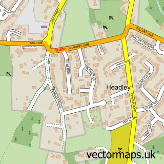
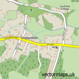
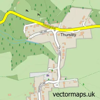
Nearby street map samples around Churt

More street maps in Surrey
750 metre map area coverage
Boundary, postcode and point of interest information for the 750m x 750m rectangle centred on this sample map.
Boundaries containing map centre
Constituency: Farnham and Bordon Co Const
County: Surrey County
District: Waverley District (B)
Icb: NHS Surrey and Sussex ICB
Parish: Churt CP
Police Force: surrey
Postcode District: GU10
Postcode Sector: GU10 2
Ward: Western Commons Ward
Nearby boundaries intersecting sample
County: Hampshire County
District: East Hampshire District
Icb: NHS Hampshire and Isle of Wight ICB
Parish: Headley CP
Police Force: hampshire
Ward: Headley Ward
Postcode coverage
POI category counts
Preschool: 2
Veterinarian: 2
Anglican Church: 1
Animal Hospital: 1
Audiovisual Equipment Rental: 1
Barber: 1
Bedding And Bath Stores: 1
Building Supply Store: 1
Cabin: 1
Car Dealer: 1
Sample points of interest
- St John the Evangelist, Churt and Rushmoor
- Surrey Vet Physio
- Preston Productions Ltd.
- The Barber Shop, Churt
- 100% Bamboo Ltd.
- Lindsey Clark Bros
- Woodpecker Cottage
- Yeomans Honda Churt
- St John the Evangelist Church
- Costa Express
- H H Hilder & Sons
- H.H.Hilder & Sons
Create a larger editable map of Churt
This sample shows only a 750 metre area. To create a larger map of Churt, use our map builder to choose your own coverage area, add titles and download editable SVG, PDF and PNG files.
Create a custom map of Churt