This Beacon Hill street map is a detailed vector street map covering a 750m x 750m area. Select a larger area to create and download your own vector street map of Beacon Hill.
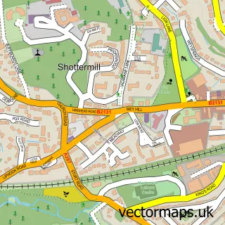
The 750-metre map sample for Beacon Hill covers 518 mapped buildings and approximately 13.9 km of road detail, of which 25 named roads are named. The immediate area includes 1 school, 1 GP surgery within 2 miles and 1 MOT station, with 2 within 2 miles. The wider area around Beacon Hill features 3 tourism points of interest. To create a larger or custom map of Beacon Hill, the map builder lets you define your own coverage area and download editable SVG, PDF and PNG files.
Create a larger editable map of Beacon Hill
Choose any area you need and generate a high-quality vector map instantly. Perfect for print, planning, design, business and personal use.
This Beacon Hill street map in Surrey is available as downloadable SVG, PDF and PNG map files, or as a printed map for planning, business, display, education, local information and design work. You can also create a larger custom map area using the map selector.
What this Beacon Hill map sample shows
Beacon Hill lies within Haslemere Cp parish, part of Hindhead ward in the Waverley District (B) local authority area. The postcode geography for this area includes the GU postcode area, the GU26 postcode district and the GU26 6 postcode sector. Residents fall under the Nhs Surrey Heartlands Integrated Care Board for NHS services.
Local features near Beacon Hill
Within 2 milesAmenities and services in and around Beacon Hill.
Administrative and postcode information for Beacon Hill
Beacon Hill lies within Haslemere Cp parish, part of Hindhead ward in the Waverley District (B) local authority area. The postcode geography for this area includes the GU postcode area, the GU26 postcode district and the GU26 6 postcode sector. Residents fall under the Nhs Surrey Heartlands Integrated Care Board for NHS services.
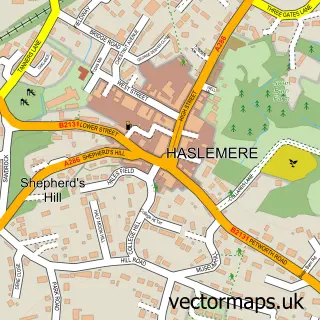
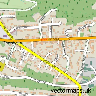
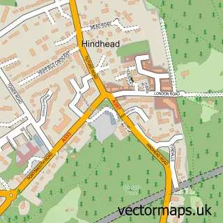
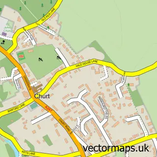
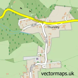
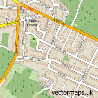
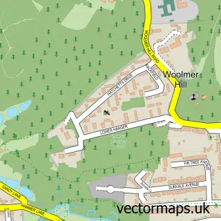
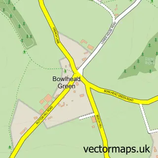
Nearby street map samples around Beacon Hill

More street maps in Surrey
750 metre map area coverage
Boundary, postcode and point of interest information for the 750m x 750m rectangle centred on this sample map.
Boundaries containing map centre
Constituency: Farnham and Bordon Co Const
County: Surrey County
District: Waverley District (B)
Icb: NHS Surrey and Sussex ICB
Parish: Haslemere CP
Police Force: surrey
Postcode District: GU26
Postcode Sector: GU26 6
Ward: Hindhead & Beacon Hill Ward
Nearby boundaries intersecting sample
No additional intersecting boundaries found.
Postcode coverage
POI category counts
Hair Salon: 3
Assisted Living Facility: 2
Automotive Repair: 2
Beauty Salon: 2
Campground: 2
Chinese Restaurant: 2
Dentist: 2
Home Health Care: 2
Italian Restaurant: 2
Active Life: 1
Sample points of interest
- Langshot Stud
- The Man in the Moon
- Beritaz Care
- Manormead Care Home
- PGL Marchants Hill
- Beacon Hill Garage
- P G Wise Ltd
- The Crumby Bakery
- Fordham C W
- Jan Jordan
- Lacey Jordan Permanent Makeup
- Steve Kentish
Create a larger editable map of Beacon Hill
This sample shows only a 750 metre area. To create a larger map of Beacon Hill, use our map builder to choose your own coverage area, add titles and download editable SVG, PDF and PNG files.
Create a custom map of Beacon Hill