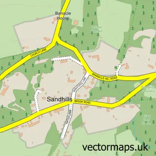
This Thursley street map is a detailed vector street map covering a 750m x 750m area. Select a larger area to create and download your own vector street map of Thursley.
The 750-metre map sample for Thursley covers 109 mapped buildings and approximately 5.2 km of road detail, of which 4 named roads are named. The immediate area includes 2 pubs. The wider area around Thursley features 2 food and drink venues. To create a larger or custom map of Thursley, the map builder lets you define your own coverage area and download editable SVG, PDF and PNG files.
Create a larger editable map of Thursley
Choose any area you need and generate a high-quality vector map instantly. Perfect for print, planning, design, business and personal use.

This Thursley street map in Surrey is available as downloadable SVG, PDF and PNG map files, or as a printed map for planning, business, display, education, local information and design work. You can also create a larger custom map area using the map selector.
What this Thursley map sample shows
Thursley lies within Thursley Cp parish, part of Elstead And Thursley ward in the Waverley District (B) local authority area. The postcode geography for this area includes the GU postcode area, the GU8 postcode district and the GU8 6 postcode sector. Residents fall under the Nhs Surrey Heartlands Integrated Care Board for NHS services.
Local features near Thursley
Within 2 milesAmenities and services in and around Thursley.
Administrative and postcode information for Thursley
Thursley lies within Thursley Cp parish, part of Elstead And Thursley ward in the Waverley District (B) local authority area. The postcode geography for this area includes the GU postcode area, the GU8 postcode district and the GU8 6 postcode sector. Residents fall under the Nhs Surrey Heartlands Integrated Care Board for NHS services.
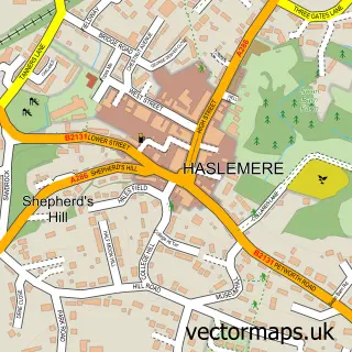
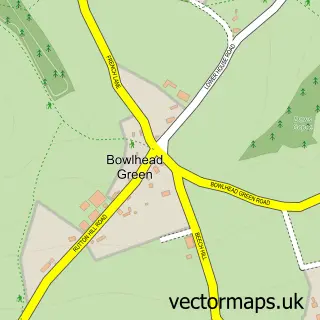
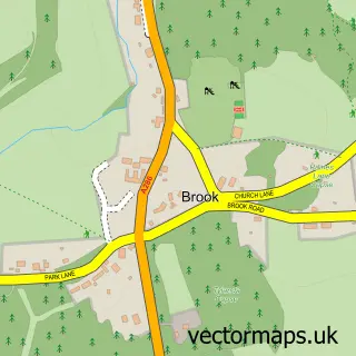
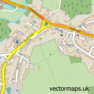
Nearby street map samples around Thursley

More street maps in Surrey
750 metre map area coverage
Boundary, postcode and point of interest information for the 750m x 750m rectangle centred on this sample map.
Boundaries containing map centre
Constituency: Godalming and Ash Co Const
County: Surrey County
District: Waverley District (B)
Icb: NHS Surrey and Sussex ICB
Parish: Thursley CP
Police Force: surrey
Postcode District: GU8
Postcode Sector: GU8 6
Ward: Western Commons Ward
Nearby boundaries intersecting sample
No additional intersecting boundaries found.
Postcode coverage
POI category counts
Pub: 2
Anglican Church: 1
Business Consulting: 1
Church Cathedral: 1
Health And Medical: 1
Post Office: 1
Preschool: 1
Telecommunications: 1
Sample points of interest
- St Michael & All Angels
- Cellarworld International
- Thursley Church
- Park Health Clinic
- Shackleford Village Shop And Post Office
- Butterflies Nursery School
- The Three Horseshoes
- Three Horseshoes Thursley
- 10Act
Create a larger editable map of Thursley
This sample shows only a 750 metre area. To create a larger map of Thursley, use our map builder to choose your own coverage area, add titles and download editable SVG, PDF and PNG files.
Create a custom map of Thursley