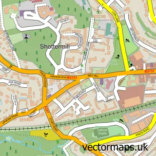
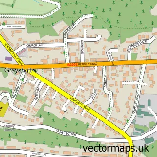
This Haslemere street map is a detailed vector street map covering a 750m x 750m area. Select a larger area to create and download your own vector street map of Haslemere.
The 750-metre map sample for Haslemere covers 373 mapped buildings and approximately 15.1 km of road detail, of which 29 named roads are named. The immediate area includes 1 GP surgery within 2 miles, 2 pubs and 1 MOT station, with 6 within 2 miles. The wider area around Haslemere features 4 tourism points of interest, 15 food and drink venues and 1 hotel. To create a larger or custom map of Haslemere, the map builder lets you define your own coverage area and download editable SVG, PDF and PNG files.
Create a larger editable map of Haslemere
Choose any area you need and generate a high-quality vector map instantly. Perfect for print, planning, design, business and personal use.

This Haslemere street map in Surrey is available as downloadable SVG, PDF and PNG map files, or as a printed map for planning, business, display, education, local information and design work. You can also create a larger custom map area using the map selector.
What this Haslemere map sample shows
Haslemere lies within Haslemere Cp parish, part of Haslemere Critchmere And Shottermill ward in the Waverley District (B) local authority area. The postcode geography for this area includes the GU postcode area, the GU27 postcode district and the GU27 1 postcode sector. Residents fall under the Nhs Surrey Heartlands Integrated Care Board for NHS services.
Local features near Haslemere
Within 2 milesAmenities and services in and around Haslemere.
Administrative and postcode information for Haslemere
Haslemere lies within Haslemere Cp parish, part of Haslemere Critchmere And Shottermill ward in the Waverley District (B) local authority area. The postcode geography for this area includes the GU postcode area, the GU27 postcode district and the GU27 1 postcode sector. Residents fall under the Nhs Surrey Heartlands Integrated Care Board for NHS services.
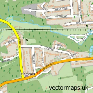
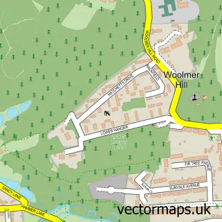
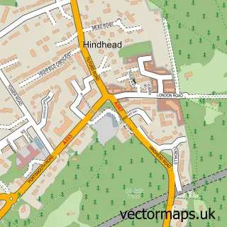
Nearby street map samples around Haslemere

More street maps in Surrey
750 metre map area coverage
Boundary, postcode and point of interest information for the 750m x 750m rectangle centred on this sample map.
Boundaries containing map centre
Constituency: Farnham and Bordon Co Const
County: Surrey County
District: Waverley District (B)
Icb: NHS Surrey and Sussex ICB
Parish: Haslemere CP
Police Force: surrey
Postcode District: GU27
Postcode Sector: GU27 2
Ward: Haslemere East Ward
Nearby boundaries intersecting sample
Postcode Sector: GU27 1
Postcode coverage
POI category counts
Real Estate Agent: 14
Clothing Store: 9
Hair Salon: 6
Cafe: 5
Charity Organization: 5
Furniture Store: 5
Preschool: 5
Restaurant: 5
Bed And Breakfast: 4
Gift Shop: 4
Sample points of interest
- Challenge 25 Training
- Bright Arrow Acupuncture
- Bang Creations
- Heathercroft Osteopaths
- The Hen House Soft Play
- The Ark Stores
- One World Design Architects
- WS Design (Architectural Design & Planning)
- Gallery Thirteen
- Look Up
- The Art Department
- Tyre For You
Create a larger editable map of Haslemere
This sample shows only a 750 metre area. To create a larger map of Haslemere, use our map builder to choose your own coverage area, add titles and download editable SVG, PDF and PNG files.
Create a custom map of Haslemere