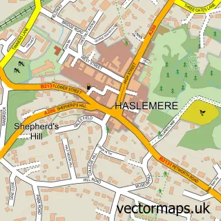
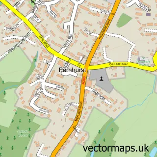
This Hammer street map is a detailed vector street map covering a 750m x 750m area. Select a larger area to create and download your own vector street map of Hammer.
The 750-metre map sample for Hammer covers 300 mapped buildings and approximately 12.1 km of road detail, of which 18 named roads are named. The immediate area includes 2 GP surgeries within 2 miles and 7 MOT stations within 2 miles. To create a larger or custom map of Hammer, the map builder lets you define your own coverage area and download editable SVG, PDF and PNG files.
Create a larger editable map of Hammer
Choose any area you need and generate a high-quality vector map instantly. Perfect for print, planning, design, business and personal use.

This Hammer street map in West Sussex is available as downloadable SVG, PDF and PNG map files, or as a printed map for planning, business, display, education, local information and design work. You can also create a larger custom map area using the map selector.
What this Hammer map sample shows
Hammer lies within Linchmere Cp parish, part of Fernhurst ward in the Chichester District local authority area. The postcode geography for this area includes the GU postcode area, the GU27 postcode district and the GU27 3 postcode sector. Residents fall under the Nhs Surrey Heartlands Integrated Care Board for NHS services.
Local features near Hammer
Within 2 milesAmenities and services in and around Hammer.
Administrative and postcode information for Hammer
The local authority covering Hammer is Chichester District, within the county of West Sussex. The settlement lies within Fernhurst ward and Linchmere Cp civil parish. The GU27 postcode district and GU27 3 postcode sector serve the immediate area. NHS provision in the area is delivered through Royal Surrey County Hospital Nhs Foundation Trust.
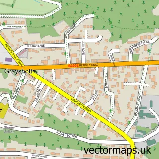
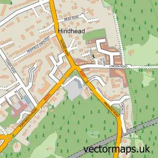
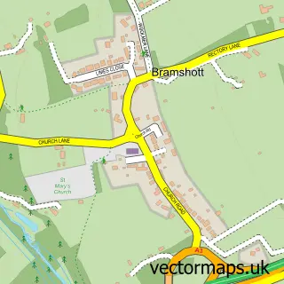
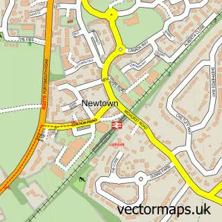
Nearby street map samples around Hammer

More street maps in West Sussex
750 metre map area coverage
Boundary, postcode and point of interest information for the 750m x 750m rectangle centred on this sample map.
Boundaries containing map centre
Constituency: Arundel and South Downs Co Const
County: West Sussex County
District: Chichester District
Icb: NHS Surrey and Sussex ICB
Parish: Linchmere CP
Police Force: sussex
Postcode District: GU27
Postcode Sector: GU27 3
Ward: Fernhurst Ward
Nearby boundaries intersecting sample
Constituency: Farnham and Bordon Co Const
County: Hampshire County, Surrey County
District: East Hampshire District, Waverley District (B)
Icb: NHS Hampshire and Isle of Wight ICB
Parish: Bramshott and Liphook CP, Haslemere CP
Police Force: surrey
Postcode Sector: GU27 1
Ward: Bramshott & Liphook Ward, Haslemere West Ward
Postcode coverage
POI category counts
Pilates Studio: 2
Acupuncture: 1
Architect: 1
Architectural Designer: 1
Building Supply Store: 1
Business Management Services: 1
Church Cathedral: 1
Contractor: 1
Electrician: 1
Financial Advising: 1
Sample points of interest
- Surrey Hills Acupucture
- Pixel Perfect
- Pixel Perfect
- 1st For Windows
- Advanced Office Support
- 3 Counties Vineyard
- Drain Doctor
- Tim Bicknell
- Blackdown Wealth Management
- Karol House Pilates
- Absolutely Fabulous
- Peony & Rose Wedding Stationery
Create a larger editable map of Hammer
This sample shows only a 750 metre area. To create a larger map of Hammer, use our map builder to choose your own coverage area, add titles and download editable SVG, PDF and PNG files.
Create a custom map of Hammer