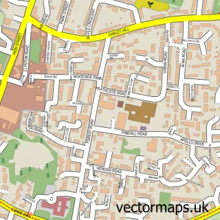
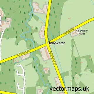
This Liphook street map is a detailed vector street map covering a 750m x 750m area. Select a larger area to create and download your own vector street map of Liphook.
The 750-metre map sample for Liphook covers 385 mapped buildings and approximately 15.7 km of road detail, of which 28 named roads are named. The immediate area includes 1 railway station and 1 MOT station, with 2 within 2 miles. The wider area around Liphook features 1 tourism point of interest and 2 hotels. To create a larger or custom map of Liphook, the map builder lets you define your own coverage area and download editable SVG, PDF and PNG files.
Create a larger editable map of Liphook
Choose any area you need and generate a high-quality vector map instantly. Perfect for print, planning, design, business and personal use.

This Liphook street map in Hampshire is available as downloadable SVG, PDF and PNG map files, or as a printed map for planning, business, display, education, local information and design work. You can also create a larger custom map area using the map selector.
What this Liphook map sample shows
Liphook lies within Bramshott And Liphook Cp parish, part of Bramshott & Liphook ward in the East Hampshire District local authority area. The postcode geography for this area includes the GU postcode area, the GU30 postcode district and the GU30 7 postcode sector. Residents fall under the Nhs Hampshire And Isle Of Wight Integrated Care Board for NHS services.
Local features near Liphook
Within 2 milesAmenities and services in and around Liphook.
Administrative and postcode information for Liphook
The local authority covering Liphook is East Hampshire District, within the county of Hampshire. The settlement lies within Bramshott & Liphook ward and Bramshott And Liphook Cp civil parish. The GU30 postcode district and GU30 7 postcode sector serve the immediate area. NHS provision in the area is delivered through Royal Surrey County Hospital Nhs Foundation Trust.
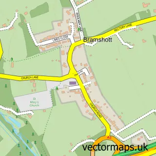
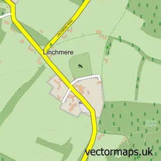
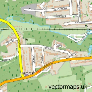
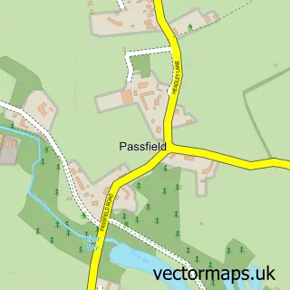
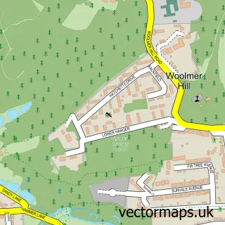
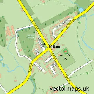
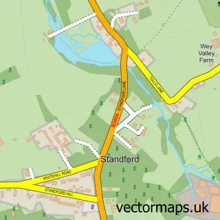
Nearby street map samples around Liphook

More street maps in Hampshire
750 metre map area coverage
Boundary, postcode and point of interest information for the 750m x 750m rectangle centred on this sample map.
Boundaries containing map centre
Constituency: Farnham and Bordon Co Const
County: Hampshire County
District: East Hampshire District
Icb: NHS Hampshire and Isle of Wight ICB
Parish: Bramshott and Liphook CP
Police Force: hampshire
Postcode District: GU30
Postcode Sector: GU30 7
Ward: Bramshott & Liphook Ward
Nearby boundaries intersecting sample
No additional intersecting boundaries found.
Postcode coverage
POI category counts
Automotive Repair: 4
Business Consulting: 3
Printing Services: 3
Accountant: 2
Beauty Salon: 2
Building Supply Store: 2
Contractor: 2
Doctor: 2
Flowers And Gifts Shop: 2
Furniture Store: 2
Sample points of interest
- Traviss & Co. Ltd.
- Tropman & Co Ltd
- Adare International
- Cancer Research UK
- Genesis Automotive
- Andrew Page
- Camberley Auto Factors
- Station Garage
- Station Garage Liphook
- Disking International
- Bakehouse
- Banking Hub
Create a larger editable map of Liphook
This sample shows only a 750 metre area. To create a larger map of Liphook, use our map builder to choose your own coverage area, add titles and download editable SVG, PDF and PNG files.
Create a custom map of Liphook