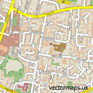
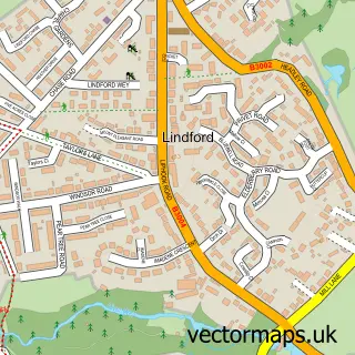
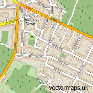
This Hollywater street map is a detailed vector street map covering a 750m x 750m area. Select a larger area to create and download your own vector street map of Hollywater.
The 750-metre map sample for Hollywater covers 82 mapped buildings and approximately 8.9 km of road detail, of which 5 named roads are named. The immediate area includes 2 GP surgeries within 2 miles and 6 MOT stations within 2 miles. To create a larger or custom map of Hollywater, the map builder lets you define your own coverage area and download editable SVG, PDF and PNG files.
Create a larger editable map of Hollywater
Choose any area you need and generate a high-quality vector map instantly. Perfect for print, planning, design, business and personal use.

This Hollywater street map in Hampshire is available as downloadable SVG, PDF and PNG map files, or as a printed map for planning, business, display, education, local information and design work. You can also create a larger custom map area using the map selector.
What this Hollywater map sample shows
Hollywater lies within Headley Cp parish, part of Headley ward in the East Hampshire District local authority area. The postcode geography for this area includes the GU postcode area, the GU35 postcode district and the GU35 8 postcode sector. Residents fall under the Nhs Hampshire And Isle Of Wight Integrated Care Board for NHS services.
Local features near Hollywater
Within 2 milesAmenities and services in and around Hollywater.
Administrative and postcode information for Hollywater
Hollywater lies within Headley Cp parish, part of Headley ward in the East Hampshire District local authority area. The postcode geography for this area includes the GU postcode area, the GU35 postcode district and the GU35 8 postcode sector. Residents fall under the Nhs Hampshire And Isle Of Wight Integrated Care Board for NHS services.
Nearby street map samples around Hollywater

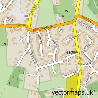
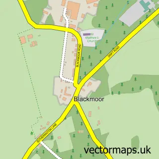
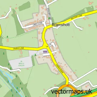
More street maps in Hampshire
750 metre map area coverage
Boundary, postcode and point of interest information for the 750m x 750m rectangle centred on this sample map.
Boundaries containing map centre
Constituency: Farnham and Bordon Co Const
County: Hampshire County
District: East Hampshire District
Icb: NHS Hampshire and Isle of Wight ICB
Parish: Whitehill CP
Police Force: hampshire
Postcode District: GU35
Postcode Sector: GU35 0
Ward: Whitehill Hogmoor & Greatham Ward
Nearby boundaries intersecting sample
Parish: Bramshott and Liphook CP, Headley CP
Postcode District: GU30
Postcode Sector: GU30 7, GU35 8, GU35 9
Ward: Bramshott & Liphook Ward, Headley Ward
Postcode coverage
POI category counts
Dog Trainer: 1
Flowers And Gifts Shop: 1
It Service And Computer Repair: 1
Mobile Home Park: 1
Nature Reserve: 1
Veterinarian: 1
Sample points of interest
- Doggedly Training & Pet Services
- Walker Florists
- Technology That Works
- Whitehill Village
- Dead Water
- Downland Vets
Create a larger editable map of Hollywater
This sample shows only a 750 metre area. To create a larger map of Hollywater, use our map builder to choose your own coverage area, add titles and download editable SVG, PDF and PNG files.
Create a custom map of Hollywater