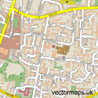
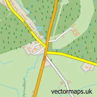
This Lindford street map is a detailed vector street map covering a 750m x 750m area. Select a larger area to create and download your own vector street map of Lindford.
The 750-metre map sample for Lindford covers 501 mapped buildings and approximately 15.7 km of road detail, of which 39 named roads are named. The immediate area includes 2 GP surgeries within 2 miles and 7 MOT stations within 2 miles. The wider area around Lindford features 1 food and drink venue. To create a larger or custom map of Lindford, the map builder lets you define your own coverage area and download editable SVG, PDF and PNG files.
Create a larger editable map of Lindford
Choose any area you need and generate a high-quality vector map instantly. Perfect for print, planning, design, business and personal use.

This Lindford street map in Hampshire is available as downloadable SVG, PDF and PNG map files, or as a printed map for planning, business, display, education, local information and design work. You can also create a larger custom map area using the map selector.
What this Lindford map sample shows
Lindford lies within Lindford Cp parish, part of Lindford ward in the East Hampshire District local authority area. The postcode geography for this area includes the GU postcode area, the GU35 postcode district and the GU35 0 postcode sector. Residents fall under the Nhs Hampshire And Isle Of Wight Integrated Care Board for NHS services.
Local features near Lindford
Within 2 milesAmenities and services in and around Lindford.
Administrative and postcode information for Lindford
Lindford lies within Lindford Cp parish, part of Lindford ward in the East Hampshire District local authority area. The postcode geography for this area includes the GU postcode area, the GU35 postcode district and the GU35 0 postcode sector. Residents fall under the Nhs Hampshire And Isle Of Wight Integrated Care Board for NHS services.
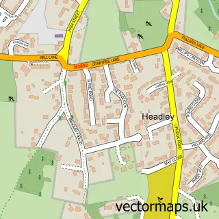
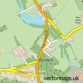
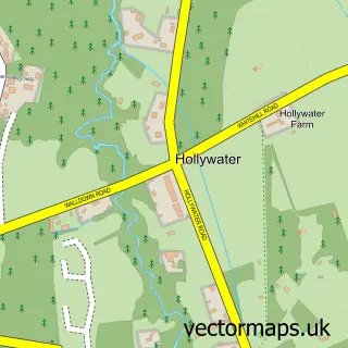
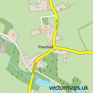
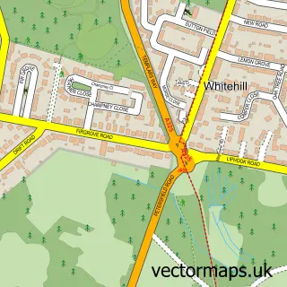
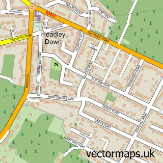
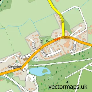
Nearby street map samples around Lindford

More street maps in Hampshire
750 metre map area coverage
Boundary, postcode and point of interest information for the 750m x 750m rectangle centred on this sample map.
Boundaries containing map centre
Constituency: Farnham and Bordon Co Const
County: Hampshire County
District: East Hampshire District
Icb: NHS Hampshire and Isle of Wight ICB
Parish: Lindford CP
Police Force: hampshire
Postcode District: GU35
Postcode Sector: GU35 0
Ward: Lindford Ward
Nearby boundaries intersecting sample
Parish: Headley CP, Whitehill CP
Postcode Sector: GU35 8
Ward: Headley Ward, Whitehill Chase Ward, Whitehill Pinewood Ward
Postcode coverage
POI category counts
Assisted Living Facility: 3
Driving School: 3
Building Contractor: 2
Building Supply Store: 2
Church Cathedral: 2
Contractor: 2
Disability Law: 2
Flooring Contractors: 2
Personal Care Service: 2
Property Management: 2
Sample points of interest
- Langley Accounts System Service
- Solor Care Group
- Solor Group
- Voyage Care Deja Vu
- CBE Electrical
- M Cannon Upholstery & Soft Furnishings
- Lindford Auto Repairs
- Jemma Louise Beauty
- Premier Property Maintenance
- Quick-glaze
- Eco-sparks
- Mjr-multi-trade
Create a larger editable map of Lindford
This sample shows only a 750 metre area. To create a larger map of Lindford, use our map builder to choose your own coverage area, add titles and download editable SVG, PDF and PNG files.
Create a custom map of Lindford