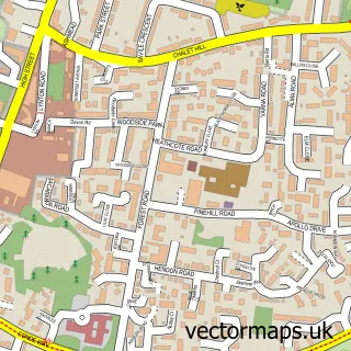
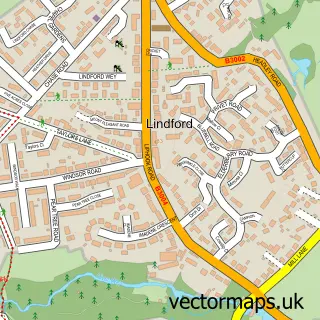
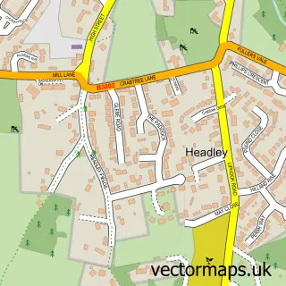
This Whitehill street map is a detailed vector street map covering a 750m x 750m area. Select a larger area to create and download your own vector street map of Whitehill.
The 750-metre map sample for Whitehill covers 302 mapped buildings and approximately 18.6 km of road detail, of which 21 named roads are named. The immediate area includes 1 GP surgery within 2 miles, 1 pub and 1 MOT station, with 3 within 2 miles. The wider area around Whitehill features 2 tourism points of interest and 1 food and drink venue. To create a larger or custom map of Whitehill, the map builder lets you define your own coverage area and download editable SVG, PDF and PNG files.
Create a larger editable map of Whitehill
Choose any area you need and generate a high-quality vector map instantly. Perfect for print, planning, design, business and personal use.

This Whitehill street map in Hampshire is available as downloadable SVG, PDF and PNG map files, or as a printed map for planning, business, display, education, local information and design work. You can also create a larger custom map area using the map selector.
What this Whitehill map sample shows
Whitehill lies within Whitehill Cp parish, part of Whitehill Hogmoor & Greatham ward in the East Hampshire District local authority area. The postcode geography for this area includes the GU postcode area, the GU35 postcode district and the GU35 9 postcode sector. Residents fall under the Nhs Hampshire And Isle Of Wight Integrated Care Board for NHS services.
Local features near Whitehill
Within 2 milesAmenities and services in and around Whitehill.
Administrative and postcode information for Whitehill
Whitehill lies within Whitehill Cp parish, part of Whitehill Hogmoor & Greatham ward in the East Hampshire District local authority area. The postcode geography for this area includes the GU postcode area, the GU35 postcode district and the GU35 9 postcode sector. Residents fall under the Nhs Hampshire And Isle Of Wight Integrated Care Board for NHS services.
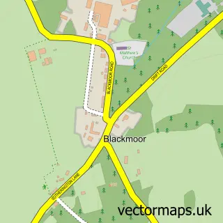
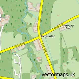
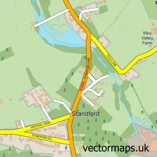
Nearby street map samples around Whitehill

More street maps in Hampshire
750 metre map area coverage
Boundary, postcode and point of interest information for the 750m x 750m rectangle centred on this sample map.
Boundaries containing map centre
Constituency: Farnham and Bordon Co Const
County: Hampshire County
District: East Hampshire District
Icb: NHS Hampshire and Isle of Wight ICB
Parish: Whitehill CP
Police Force: hampshire
Postcode District: GU35
Postcode Sector: GU35 9
Ward: Whitehill Hogmoor & Greatham Ward
Nearby boundaries intersecting sample
No additional intersecting boundaries found.
Postcode coverage
POI category counts
Retail: 3
Automotive Repair: 2
Beauty Salon: 2
Contractor: 2
Indian Restaurant: 2
Accountant: 1
Alternative Medicine: 1
Archery Range: 1
Automotive: 1
Beauty And Spa: 1
Sample points of interest
- Mad About Bookkeeping
- Purple Velvet Hypnotherapy
- Whitehill Archers' Official
- GRH Couriers
- GRH Services Mobile Mechanic
- P H S Garden Machinery
- Beauty By Hannah Tee
- Salon in the Garden
- Station Beauty
- Celestial Games & Books
- M I Bone Builders
- Source Heat Pumps
Create a larger editable map of Whitehill
This sample shows only a 750 metre area. To create a larger map of Whitehill, use our map builder to choose your own coverage area, add titles and download editable SVG, PDF and PNG files.
Create a custom map of Whitehill