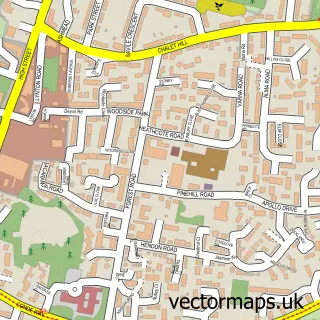
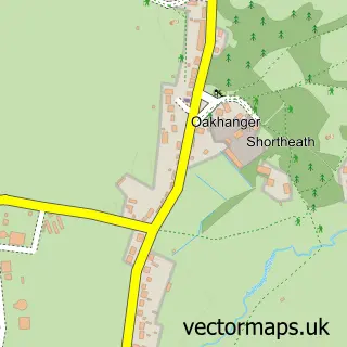
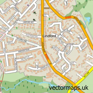
This Blackmoor street map is a detailed vector street map covering a 750m x 750m area. Select a larger area to create and download your own vector street map of Blackmoor.
The 750-metre map sample for Blackmoor covers 57 mapped buildings and approximately 7.3 km of road detail, of which 3 named roads are named. The immediate area includes 1 school, 1 GP surgery within 2 miles and 3 MOT stations within 2 miles. To create a larger or custom map of Blackmoor, the map builder lets you define your own coverage area and download editable SVG, PDF and PNG files.
Create a larger editable map of Blackmoor
Choose any area you need and generate a high-quality vector map instantly. Perfect for print, planning, design, business and personal use.

This Blackmoor street map in Hampshire is available as downloadable SVG, PDF and PNG map files, or as a printed map for planning, business, display, education, local information and design work. You can also create a larger custom map area using the map selector.
What this Blackmoor map sample shows
Blackmoor lies within Selborne Cp parish, part of Binsted, Bentley & Selborne ward in the East Hampshire District local authority area. The postcode geography for this area includes the GU postcode area, the GU33 postcode district and the GU33 6 postcode sector. Residents fall under the Nhs Hampshire And Isle Of Wight Integrated Care Board for NHS services.
Local features near Blackmoor
Within 2 milesAmenities and services in and around Blackmoor.
Administrative and postcode information for Blackmoor
Blackmoor lies within Selborne Cp parish, part of Binsted, Bentley & Selborne ward in the East Hampshire District local authority area. The postcode geography for this area includes the GU postcode area, the GU33 postcode district and the GU33 6 postcode sector. Residents fall under the Nhs Hampshire And Isle Of Wight Integrated Care Board for NHS services.
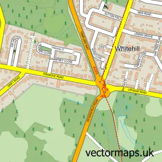
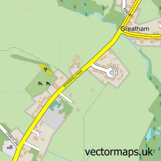
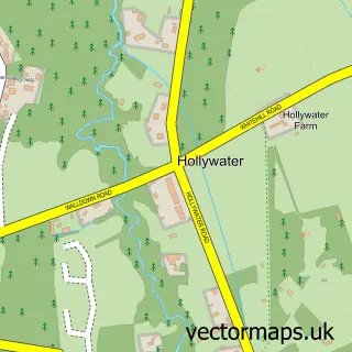
Nearby street map samples around Blackmoor

More street maps in Hampshire
750 metre map area coverage
Boundary, postcode and point of interest information for the 750m x 750m rectangle centred on this sample map.
Boundaries containing map centre
Constituency: East Hampshire Co Const
County: Hampshire County
District: East Hampshire District
Icb: NHS Hampshire and Isle of Wight ICB
Parish: Selborne CP
Police Force: hampshire
Postcode District: GU33
Postcode Sector: GU33 6
Ward: Binsted, Bentley & Selborne Ward
Nearby boundaries intersecting sample
Postcode District: GU35
Postcode Sector: GU35 9
Postcode coverage
POI category counts
Nursery And Gardening: 2
Business To Business: 1
Church Cathedral: 1
Community Center: 1
Distillery: 1
Elementary School: 1
Farm: 1
Flowers And Gifts Shop: 1
Fruits And Vegetables: 1
Professional Services: 1
Sample points of interest
- Blackmoor Nurseries
- St Matthew's Church
- Blackmoor Village Hall
- Gospel Green Cider from Blackmoor Orchards
- St Matthew's C Of E Aided Primary School
- Blackmoor Estate Ltd
- Wine Boxes Etc
- Blackmoor Estate
- Blackmoor Fruit Nursery
- Southern Fruit Trees
- Price Cooling Services
- Indigo Blue European
Create a larger editable map of Blackmoor
This sample shows only a 750 metre area. To create a larger map of Blackmoor, use our map builder to choose your own coverage area, add titles and download editable SVG, PDF and PNG files.
Create a custom map of Blackmoor