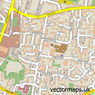
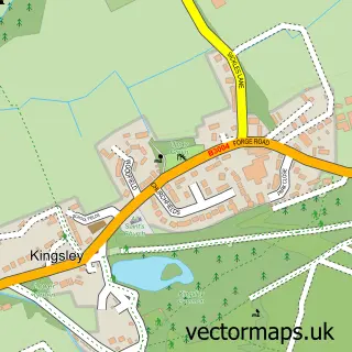
This Oakhanger street map is a detailed vector street map covering a 750m x 750m area. Select a larger area to create and download your own vector street map of Oakhanger.
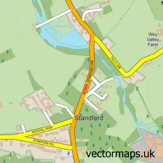
The 750-metre map sample for Oakhanger covers 103 mapped buildings and approximately 4.6 km of road detail. The immediate area includes 1 GP surgery within 2 miles, 2 pubs and 4 MOT stations within 2 miles. The wider area around Oakhanger features 2 food and drink venues. To create a larger or custom map of Oakhanger, the map builder lets you define your own coverage area and download editable SVG, PDF and PNG files.
Create a larger editable map of Oakhanger
Choose any area you need and generate a high-quality vector map instantly. Perfect for print, planning, design, business and personal use.

This Oakhanger street map in Hampshire is available as downloadable SVG, PDF and PNG map files, or as a printed map for planning, business, display, education, local information and design work. You can also create a larger custom map area using the map selector.
What this Oakhanger map sample shows
Oakhanger lies within Selborne Cp parish, part of Binsted, Bentley & Selborne ward in the East Hampshire District local authority area. The postcode geography for this area includes the GU postcode area, the GU35 postcode district and the GU35 9 postcode sector. Residents fall under the Nhs Hampshire And Isle Of Wight Integrated Care Board for NHS services.
Local features near Oakhanger
Within 2 milesAmenities and services in and around Oakhanger.
Administrative and postcode information for Oakhanger
The local authority covering Oakhanger is East Hampshire District, within the county of Hampshire. The settlement lies within Binsted, Bentley & Selborne ward and Selborne Cp civil parish. The GU35 postcode district and GU35 9 postcode sector serve the immediate area. NHS provision in the area is delivered through Royal Surrey County Hospital Nhs Foundation Trust.
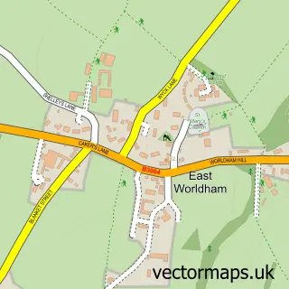
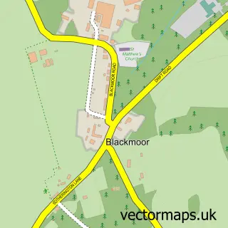
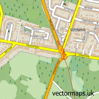
Nearby street map samples around Oakhanger

More street maps in Hampshire
750 metre map area coverage
Boundary, postcode and point of interest information for the 750m x 750m rectangle centred on this sample map.
Boundaries containing map centre
Constituency: East Hampshire Co Const
County: Hampshire County
District: East Hampshire District
Icb: NHS Hampshire and Isle of Wight ICB
Parish: Selborne CP
Police Force: hampshire
Postcode District: GU35
Postcode Sector: GU35 9
Ward: Binsted, Bentley & Selborne Ward
Nearby boundaries intersecting sample
Parish: Worldham CP
Postcode coverage
POI category counts
Pub: 2
Anglican Church: 1
Building Supply Store: 1
Car Dealer: 1
Car Rental Agency: 1
Flowers And Gifts Shop: 1
Professional Services: 1
Travel Services: 1
Web Designer: 1
Wholesaler: 1
Sample points of interest
- St Mary Magdalene Church Oakhanger Hampshire
- Coomers Timber & Building Supplies
- TMC - The Motor Company
- 2 C V Adventures
- Wild Things Florist
- L S Motors
- The Hanger Free House
- The Hanger, County Restaurant and Free House
- 2CV Adventures
- JR Design Studio
- Mextru Ltd.
Create a larger editable map of Oakhanger
This sample shows only a 750 metre area. To create a larger map of Oakhanger, use our map builder to choose your own coverage area, add titles and download editable SVG, PDF and PNG files.
Create a custom map of Oakhanger