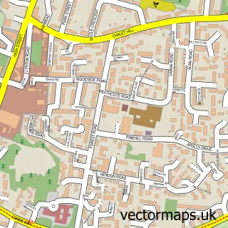
This Selborne street map is a detailed vector street map covering a 750m x 750m area. Select a larger area to create and download your own vector street map of Selborne.
The 750-metre map sample for Selborne covers 190 mapped buildings and approximately 9.0 km of road detail, of which 8 named roads are named. The immediate area includes 1 school, 3 pubs and 1 MOT station within 2 miles. The wider area around Selborne features 2 tourism points of interest and 5 food and drink venues. To create a larger or custom map of Selborne, the map builder lets you define your own coverage area and download editable SVG, PDF and PNG files.
Create a larger editable map of Selborne
Choose any area you need and generate a high-quality vector map instantly. Perfect for print, planning, design, business and personal use.

This Selborne street map in Hampshire is available as downloadable SVG, PDF and PNG map files, or as a printed map for planning, business, display, education, local information and design work. You can also create a larger custom map area using the map selector.
What this Selborne map sample shows
Selborne lies within Selborne Cp parish, part of Binsted, Bentley & Selborne ward in the East Hampshire District local authority area. The postcode geography for this area includes the GU postcode area, the GU34 postcode district and the GU34 3 postcode sector. Residents fall under the Nhs Hampshire And Isle Of Wight Integrated Care Board for NHS services.
Local features near Selborne
Within 2 milesAmenities and services in and around Selborne.
Administrative and postcode information for Selborne
The local authority covering Selborne is East Hampshire District, within the county of Hampshire. The settlement lies within Binsted, Bentley & Selborne ward and Selborne Cp civil parish. The GU34 postcode district and GU34 3 postcode sector serve the immediate area. NHS provision in the area is delivered through Royal Surrey County Hospital Nhs Foundation Trust.
Nearby street map samples around Selborne

More street maps in Hampshire
750 metre map area coverage
Boundary, postcode and point of interest information for the 750m x 750m rectangle centred on this sample map.
Boundaries containing map centre
Constituency: East Hampshire Co Const
County: Hampshire County
District: East Hampshire District
Icb: NHS Hampshire and Isle of Wight ICB
Parish: Selborne CP
Police Force: hampshire
Postcode District: GU34
Postcode Sector: GU34 3
Ward: Binsted, Bentley & Selborne Ward
Nearby boundaries intersecting sample
No additional intersecting boundaries found.
Postcode coverage
POI category counts
Church Cathedral: 3
Pub: 3
Sightseeing Tour Agency: 2
Anglican Church: 1
Arts And Crafts: 1
Arts And Entertainment: 1
Bicycle Shop: 1
Cafe: 1
Carpenter: 1
Coffee Shop: 1
Sample points of interest
- St Mary's Church Selborne Hampshire
- Selborne Pottery
- Nicholas Lees Studio
- Hartleys mobile cycle servicing & repairs
- White's Cafe
- Alton Woodworks
- Newton Valence Parish Church
- Selborne Parish Church
- St. Mary's Church
- La Luna
- Selborne C of E Aided Primary School
- Weddings at Gilbert White's
Create a larger editable map of Selborne
This sample shows only a 750 metre area. To create a larger map of Selborne, use our map builder to choose your own coverage area, add titles and download editable SVG, PDF and PNG files.
Create a custom map of Selborne