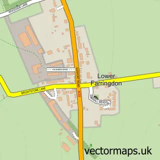
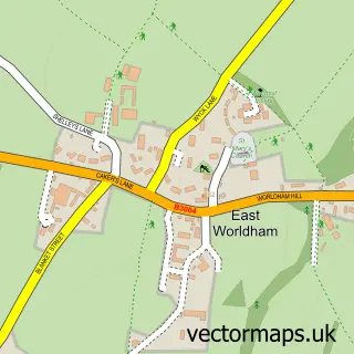
This Upper Farringdon street map is a detailed vector street map covering a 750m x 750m area. Select a larger area to create and download your own vector street map of Upper Farringdon.
The 750-metre map sample for Upper Farringdon covers 197 mapped buildings and approximately 12.0 km of road detail, of which 6 named roads are named. The immediate area includes 1 GP surgery within 2 miles, 2 pubs and 2 MOT stations within 2 miles. The wider area around Upper Farringdon features 3 food and drink venues. To create a larger or custom map of Upper Farringdon, the map builder lets you define your own coverage area and download editable SVG, PDF and PNG files.
Create a larger editable map of Upper Farringdon
Choose any area you need and generate a high-quality vector map instantly. Perfect for print, planning, design, business and personal use.

This Upper Farringdon street map in Hampshire is available as downloadable SVG, PDF and PNG map files, or as a printed map for planning, business, display, education, local information and design work. You can also create a larger custom map area using the map selector.
What this Upper Farringdon map sample shows
Upper Farringdon lies within Farringdon Cp parish, part of Binsted, Bentley & Selborne ward in the East Hampshire District local authority area. The postcode geography for this area includes the GU postcode area, the GU34 postcode district and the GU34 3 postcode sector. Residents fall under the Nhs Hampshire And Isle Of Wight Integrated Care Board for NHS services.
Local features near Upper Farringdon
Within 2 milesAmenities and services in and around Upper Farringdon.
Administrative and postcode information for Upper Farringdon
The local authority covering Upper Farringdon is East Hampshire District, within the county of Hampshire. The settlement lies within Binsted, Bentley & Selborne ward and Farringdon Cp civil parish. The GU34 postcode district and GU34 3 postcode sector serve the immediate area. NHS provision in the area is delivered through Hampshire Hospitals Nhs Foundation Trust.
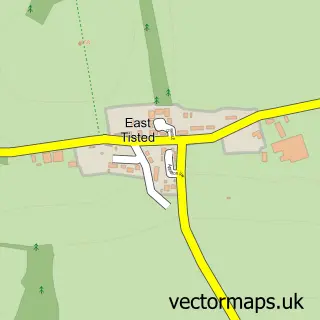
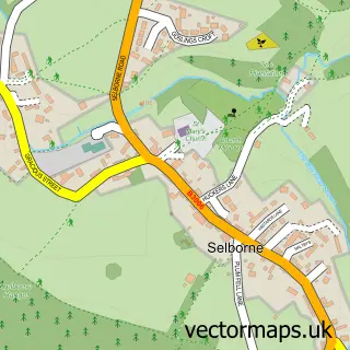
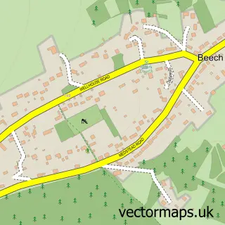
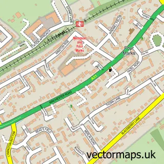
Nearby street map samples around Upper Farringdon

More street maps in Hampshire
750 metre map area coverage
Boundary, postcode and point of interest information for the 750m x 750m rectangle centred on this sample map.
Boundaries containing map centre
Constituency: East Hampshire Co Const
County: Hampshire County
District: East Hampshire District
Icb: NHS Hampshire and Isle of Wight ICB
Parish: Farringdon CP
Police Force: hampshire
Postcode District: GU34
Postcode Sector: GU34 3
Ward: Binsted, Bentley & Selborne Ward
Nearby boundaries intersecting sample
No additional intersecting boundaries found.
Postcode coverage
POI category counts
Pub: 2
Anglican Church: 1
Bar: 1
Bed And Breakfast: 1
Church Cathedral: 1
Corporate Entertainment Services: 1
Event Technology Service: 1
Home Goods Store: 1
Musical Instrument Store: 1
Restaurant: 1
Sample points of interest
- All Saints' Church
- Sports Bar and Grill Farringdon
- Old Timbers Bed & Breakfast
- All Saints Church
- Cavendish Sporting
- Smart Thinking
- Juniper Trading
- B&H Mandolins And Guitars
- Rose & Crown
- The Rose and Crown
- The Snooty Mehmaan
- Upper Crust
Create a larger editable map of Upper Farringdon
This sample shows only a 750 metre area. To create a larger map of Upper Farringdon, use our map builder to choose your own coverage area, add titles and download editable SVG, PDF and PNG files.
Create a custom map of Upper Farringdon