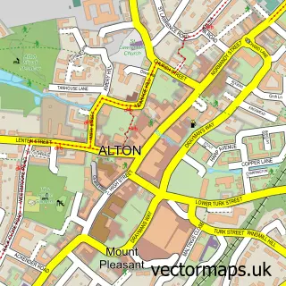
This Chawton street map is a detailed vector street map covering a 750m x 750m area. Select a larger area to create and download your own vector street map of Chawton.
The 750-metre map sample for Chawton covers 105 mapped buildings and approximately 8.5 km of road detail, of which 6 named roads are named. The immediate area includes 1 school, 2 GP surgeries within 2 miles, 1 pub and 10 MOT stations within 2 miles. The wider area around Chawton features 2 tourism points of interest and 2 food and drink venues. To create a larger or custom map of Chawton, the map builder lets you define your own coverage area and download editable SVG, PDF and PNG files.
Create a larger editable map of Chawton
Choose any area you need and generate a high-quality vector map instantly. Perfect for print, planning, design, business and personal use.

This Chawton street map in Hampshire is available as downloadable SVG, PDF and PNG map files, or as a printed map for planning, business, display, education, local information and design work. You can also create a larger custom map area using the map selector.
What this Chawton map sample shows
Chawton lies within Chawton Cp parish, part of Four Marks & Medstead ward in the East Hampshire District local authority area. The postcode geography for this area includes the GU postcode area, the GU34 postcode district and the GU34 1 postcode sector. Residents fall under the Nhs Hampshire And Isle Of Wight Integrated Care Board for NHS services.
Local features near Chawton
Within 2 milesAmenities and services in and around Chawton.
Administrative and postcode information for Chawton
Chawton lies within Chawton Cp parish, part of Four Marks & Medstead ward in the East Hampshire District local authority area. The postcode geography for this area includes the GU postcode area, the GU34 postcode district and the GU34 1 postcode sector. Residents fall under the Nhs Hampshire And Isle Of Wight Integrated Care Board for NHS services.
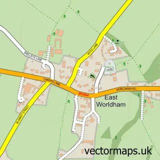
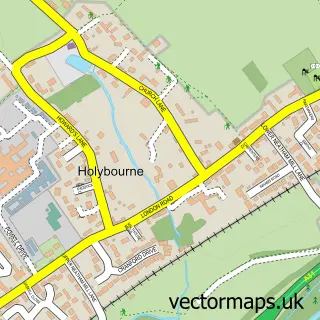
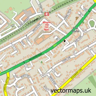
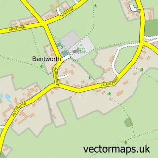
Nearby street map samples around Chawton


More street maps in Hampshire
750 metre map area coverage
Boundary, postcode and point of interest information for the 750m x 750m rectangle centred on this sample map.
Boundaries containing map centre
Constituency: East Hampshire Co Const
County: Hampshire County
District: East Hampshire District
Icb: NHS Hampshire and Isle of Wight ICB
Parish: Chawton CP
Police Force: hampshire
Postcode District: GU34
Postcode Sector: GU34 1
Ward: Four Marks & Medstead Ward
Nearby boundaries intersecting sample
Parish: Alton CP
Postcode Sector: GU34 3
Ward: Alton Whitedown Ward
Postcode coverage
POI category counts
Attractions And Activities: 1
Building Supply Store: 1
Carpenter: 1
Church Cathedral: 1
Community Center: 1
Do It Yourself Store: 1
Elementary School: 1
Furniture Manufacturers: 1
Hair Salon: 1
Landscape Architect: 1
Sample points of interest
- Jubilee Playing Fields
- Travis Perkins
- Polat Carpentry
- St Nicholas Church, Chawton
- Chawton Village Hall
- ALTON
- Chawton C of E Primary School
- Byply
- Space
- Mow 'n' Blow
- Alton Wing Chun Chinese Boxing Club
- Jane Austen's House
Create a larger editable map of Chawton
This sample shows only a 750 metre area. To create a larger map of Chawton, use our map builder to choose your own coverage area, add titles and download editable SVG, PDF and PNG files.
Create a custom map of Chawton