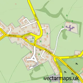
This Bentworth street map is a detailed vector street map covering a 750m x 750m area. Select a larger area to create and download your own vector street map of Bentworth.
The 750-metre map sample for Bentworth covers 104 mapped buildings and approximately 8.5 km of road detail, of which 7 named roads are named. The immediate area includes 1 school and 1 pub. The wider area around Bentworth features 1 tourism point of interest and 1 food and drink venue. To create a larger or custom map of Bentworth, the map builder lets you define your own coverage area and download editable SVG, PDF and PNG files.
Create a larger editable map of Bentworth
Choose any area you need and generate a high-quality vector map instantly. Perfect for print, planning, design, business and personal use.

This Bentworth street map in Hampshire is available as downloadable SVG, PDF and PNG map files, or as a printed map for planning, business, display, education, local information and design work. You can also create a larger custom map area using the map selector.
What this Bentworth map sample shows
Bentworth lies within Bentworth Cp parish, part of Bentworth & Froyle ward in the East Hampshire District local authority area. The postcode geography for this area includes the GU postcode area, the GU34 postcode district and the GU34 5 postcode sector. Residents fall under the Nhs Hampshire And Isle Of Wight Integrated Care Board for NHS services.
Local features near Bentworth
Within 2 milesAmenities and services in and around Bentworth.
Administrative and postcode information for Bentworth
The local authority covering Bentworth is East Hampshire District, within the county of Hampshire. The settlement lies within Bentworth & Froyle ward and Bentworth Cp civil parish. The GU34 postcode district and GU34 5 postcode sector serve the immediate area. NHS provision in the area is delivered through Hampshire Hospitals Nhs Foundation Trust.
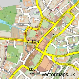
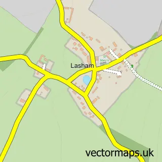
Nearby street map samples around Bentworth


More street maps in Hampshire
750 metre map area coverage
Boundary, postcode and point of interest information for the 750m x 750m rectangle centred on this sample map.
Boundaries containing map centre
Constituency: East Hampshire Co Const
County: Hampshire County
District: East Hampshire District
Icb: NHS Hampshire and Isle of Wight ICB
Parish: Bentworth CP
Police Force: hampshire
Postcode District: GU34
Postcode Sector: GU34 5
Ward: Bentworth & Froyle Ward
Nearby boundaries intersecting sample
No additional intersecting boundaries found.
Postcode coverage
POI category counts
Bar: 1
Beauty Salon: 1
Building Supply Store: 1
Business Management Services: 1
Church Cathedral: 1
Elementary School: 1
Kids Recreation And Party: 1
Landmark And Historical Building: 1
Maternity Centers: 1
Pub: 1
Sample points of interest
- Austen Blues Chawton
- Olivia Grayce Hair, beauty and wellness centre
- Scimitar Clean
- Susanna Dunnett Small Business and Home Office Support
- St Mary's Church
- Saint Marys Bentworth C Of E Primary School
- The Joneses’ Studio
- Bentworth Stream
- The Hampshire Birthing Company
- Star Inn
- Yours Clothing
Create a larger editable map of Bentworth
This sample shows only a 750 metre area. To create a larger map of Bentworth, use our map builder to choose your own coverage area, add titles and download editable SVG, PDF and PNG files.
Create a custom map of Bentworth