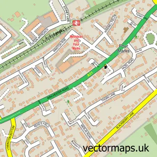
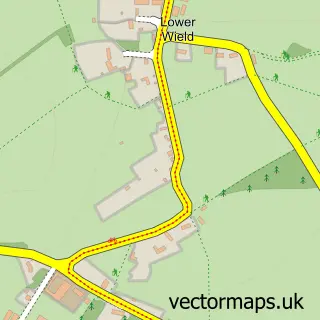
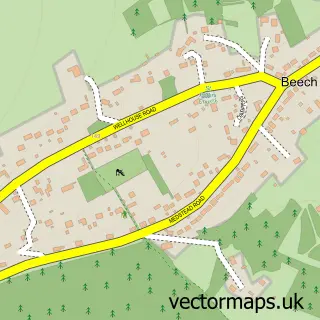
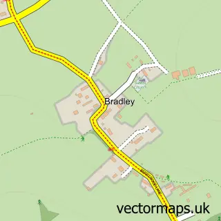
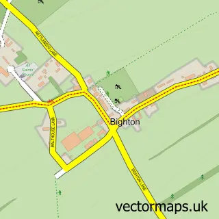
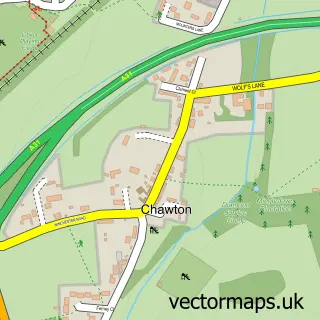
This Medstead street map is a detailed vector street map covering a 750m x 750m area. Select a larger area to create and download your own vector street map of Medstead.
The 750-metre map sample for Medstead covers 169 mapped buildings and approximately 8.4 km of road detail, of which 10 named roads are named. The immediate area includes 2 GP surgeries within 2 miles and 1 pub. The wider area around Medstead features 1 tourism point of interest and 1 food and drink venue. To create a larger or custom map of Medstead, the map builder lets you define your own coverage area and download editable SVG, PDF and PNG files.
Create a larger editable map of Medstead
Choose any area you need and generate a high-quality vector map instantly. Perfect for print, planning, design, business and personal use.

This Medstead street map in Hampshire is available as downloadable SVG, PDF and PNG map files, or as a printed map for planning, business, display, education, local information and design work. You can also create a larger custom map area using the map selector.
What this Medstead map sample shows
Medstead lies within Medstead Cp parish, part of Four Marks & Medstead ward in the East Hampshire District local authority area. The postcode geography for this area includes the GU postcode area, the GU34 postcode district and the GU34 5 postcode sector. Residents fall under the Nhs Hampshire And Isle Of Wight Integrated Care Board for NHS services.
Local features near Medstead
Within 2 milesAmenities and services in and around Medstead.
Administrative and postcode information for Medstead
Medstead lies within Medstead Cp parish, part of Four Marks & Medstead ward in the East Hampshire District local authority area. The postcode geography for this area includes the GU postcode area, the GU34 postcode district and the GU34 5 postcode sector. Residents fall under the Nhs Hampshire And Isle Of Wight Integrated Care Board for NHS services.
Nearby street map samples around Medstead

More street maps in Hampshire
750 metre map area coverage
Boundary, postcode and point of interest information for the 750m x 750m rectangle centred on this sample map.
Boundaries containing map centre
Constituency: East Hampshire Co Const
County: Hampshire County
District: East Hampshire District
Icb: NHS Hampshire and Isle of Wight ICB
Parish: Medstead CP
Police Force: hampshire
Postcode District: GU34
Postcode Sector: GU34 5
Ward: Four Marks & Medstead Ward
Nearby boundaries intersecting sample
No additional intersecting boundaries found.
Postcode coverage
POI category counts
Post Office: 2
Active Life: 1
Anglican Church: 1
Campground: 1
Church Cathedral: 1
Convenience Store: 1
Convents And Monasteries: 1
Engine Repair Service: 1
Home Service: 1
Preschool: 1
Sample points of interest
- St Andrew’s Church Hall, Medstead
- St. Andrew's Church, Medstead
- Kite View Campsite
- Saint Andrew's Church Medstead
- The Handy Stores
- Convent of St Lucy
- The Sharpeners
- Single Steps Nurseries
- Post Office
- The Handy Store & Medstead Post Office!
- Medstead Pre-School & Nursery
- Castle Of Comfort
Create a larger editable map of Medstead
This sample shows only a 750 metre area. To create a larger map of Medstead, use our map builder to choose your own coverage area, add titles and download editable SVG, PDF and PNG files.
Create a custom map of Medstead