This Alton street map is a detailed vector street map covering a 750m x 750m area. Select a larger area to create and download your own vector street map of Alton.
The 750-metre map sample for Alton covers 367 mapped buildings and approximately 19.0 km of road detail, of which 44 named roads are named. The immediate area includes 2 schools, 2 GP surgeries within 2 miles, 13 pubs and 1 MOT station, with 10 within 2 miles. The wider area around Alton features 7 tourism points of interest, 36 food and drink venues and 5 hotels. To create a larger or custom map of Alton, the map builder lets you define your own coverage area and download editable SVG, PDF and PNG files.
Create a larger editable map of Alton
Choose any area you need and generate a high-quality vector map instantly. Perfect for print, planning, design, business and personal use.

This Alton street map in Hampshire is available as downloadable SVG, PDF and PNG map files, or as a printed map for planning, business, display, education, local information and design work. You can also create a larger custom map area using the map selector.
What this Alton map sample shows
Alton lies within Alton Cp parish, part of Alton Westbrooke ward in the East Hampshire District local authority area. The postcode geography for this area includes the GU postcode area, the GU34 postcode district and the GU34 1 postcode sector. Residents fall under the Nhs Hampshire And Isle Of Wight Integrated Care Board for NHS services.
Local features near Alton
Within 2 milesAmenities and services in and around Alton.
Administrative and postcode information for Alton
The local authority covering Alton is East Hampshire District, within the county of Hampshire. The settlement lies within Alton Westbrooke ward and Alton Cp civil parish. The GU34 postcode district and GU34 1 postcode sector serve the immediate area. NHS provision in the area is delivered through Hampshire Hospitals Nhs Foundation Trust.
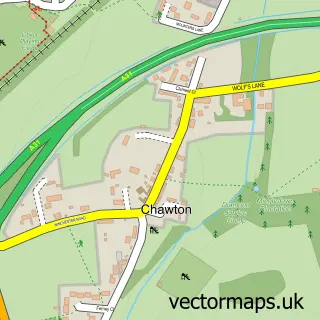
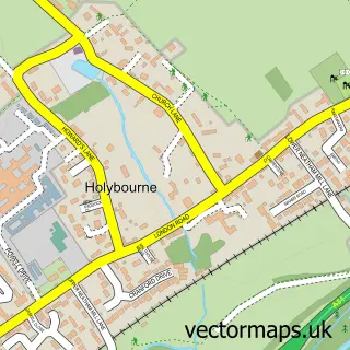
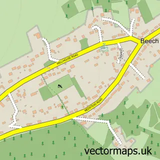
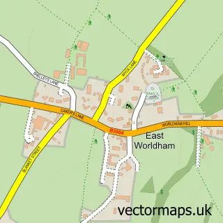
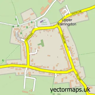
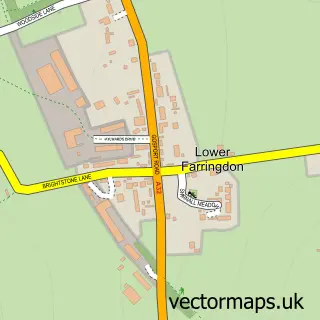
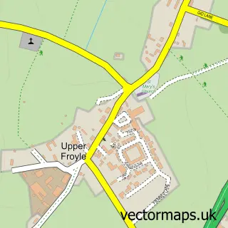
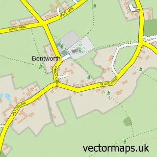
Nearby street map samples around Alton


More street maps in Hampshire
750 metre map area coverage
Boundary, postcode and point of interest information for the 750m x 750m rectangle centred on this sample map.
Boundaries containing map centre
Constituency: East Hampshire Co Const
County: Hampshire County
District: East Hampshire District
Icb: NHS Hampshire and Isle of Wight ICB
Parish: Alton CP
Police Force: hampshire
Postcode District: GU34
Postcode Sector: GU34 1
Ward: Alton Westbrooke Ward
Nearby boundaries intersecting sample
Postcode Sector: GU34 2
Ward: Alton Amery Ward, Alton Ashdell Ward, Alton Eastbrooke Ward
Postcode coverage
POI category counts
Coffee Shop: 13
Professional Services: 13
Pub: 13
Beauty Salon: 11
Charity Organization: 11
Hair Salon: 11
Barber: 10
Real Estate Agent: 10
Church Cathedral: 8
Bank Credit Union: 7
Sample points of interest
- Fox & Co (Accountants) Ltd
- Fox & Co. Chartered Accountants
- Lfmca
- Sheen Stickland
- Styles & Associates Accountancy Services
- Graphic Jam
- LVC
- The Peter Heath Consultancy
- Tama UK
- Kg Hypnobirthing
- Fudokan Karate UK Alton, Hampshire
- Alton Registry Office
Create a larger editable map of Alton
This sample shows only a 750 metre area. To create a larger map of Alton, use our map builder to choose your own coverage area, add titles and download editable SVG, PDF and PNG files.
Create a custom map of Alton