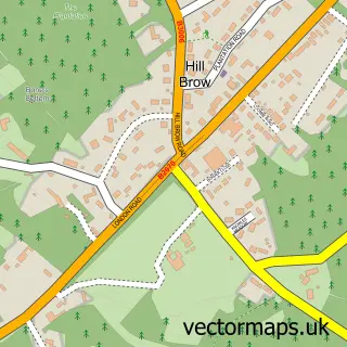
This Milland street map is a detailed vector street map covering a 750m x 750m area. Select a larger area to create and download your own vector street map of Milland.
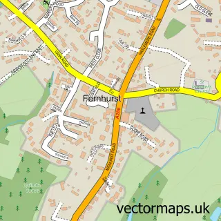
The 750-metre map sample for Milland covers 133 mapped buildings and approximately 9.3 km of road detail, of which 11 named roads are named. The immediate area includes 2 pubs and 1 MOT station, with 2 within 2 miles. The wider area around Milland features 1 tourism point of interest, 2 food and drink venues and 1 hotel. To create a larger or custom map of Milland, the map builder lets you define your own coverage area and download editable SVG, PDF and PNG files.
Create a larger editable map of Milland
Choose any area you need and generate a high-quality vector map instantly. Perfect for print, planning, design, business and personal use.

This Milland street map in West Sussex is available as downloadable SVG, PDF and PNG map files, or as a printed map for planning, business, display, education, local information and design work. You can also create a larger custom map area using the map selector.
What this Milland map sample shows
Milland lies within Milland Cp parish, part of Fernhurst ward in the Chichester District local authority area. The postcode geography for this area includes the GU postcode area, the GU30 postcode district and the GU30 7 postcode sector. Residents fall under the Nhs Sussex Integrated Care Board for NHS services.
Local features near Milland
Within 2 milesAmenities and services in and around Milland.
Administrative and postcode information for Milland
Milland lies within Milland Cp parish, part of Fernhurst ward in the Chichester District local authority area. The postcode geography for this area includes the GU postcode area, the GU30 postcode district and the GU30 7 postcode sector. Residents fall under the Nhs Sussex Integrated Care Board for NHS services.
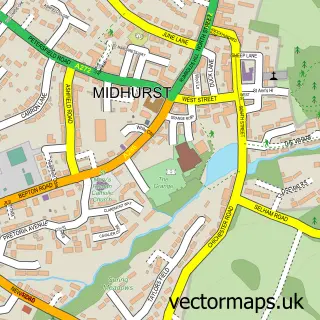
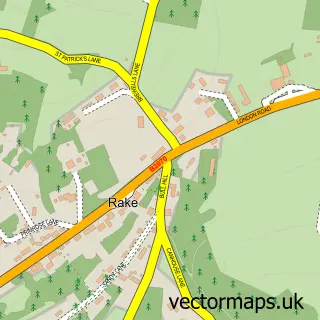
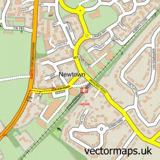
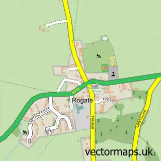
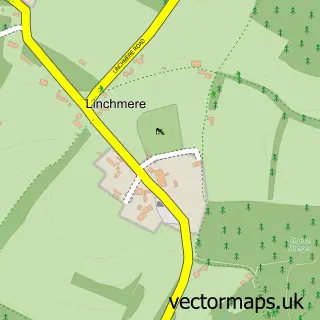
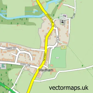
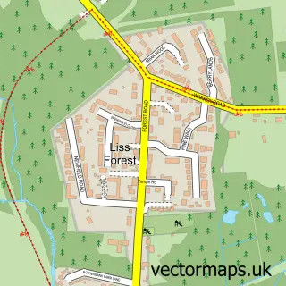
Nearby street map samples around Milland

More street maps in West Sussex
750 metre map area coverage
Boundary, postcode and point of interest information for the 750m x 750m rectangle centred on this sample map.
Boundaries containing map centre
Constituency: Arundel and South Downs Co Const
County: West Sussex County
District: Chichester District
Icb: NHS Surrey and Sussex ICB
Parish: Milland CP
Police Force: sussex
Postcode District: GU30
Postcode Sector: GU30 7
Ward: Fernhurst Ward
Nearby boundaries intersecting sample
No additional intersecting boundaries found.
Postcode coverage
POI category counts
Pub: 2
Art Restoration Service: 1
Automotive Repair: 1
Beauty And Spa: 1
Beauty Salon: 1
Carpenter: 1
Convenience Store: 1
Engineering Services: 1
Farm: 1
Furniture Accessory Store: 1
Sample points of interest
- Damon Styles
- Vales Garage Milland Ltd
- Labrador and more
- The Powder Room
- Milland Joinery
- Milland Stores and Cafe
- Meon Survey Partnership Ltd.
- Ellie's Eggs and Hens
- Doyles
- Atcost Windows And Conservatories
- Milland Place Hotel
- Milland Recreation Ground
Create a larger editable map of Milland
This sample shows only a 750 metre area. To create a larger map of Milland, use our map builder to choose your own coverage area, add titles and download editable SVG, PDF and PNG files.
Create a custom map of Milland