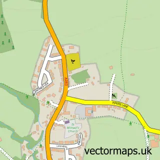
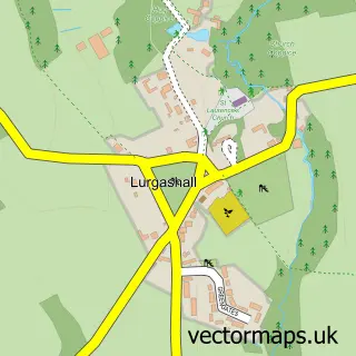
This Ramsnest Common street map is a detailed vector street map covering a 750m x 750m area. Select a larger area to create and download your own vector street map of Ramsnest Common.
The 750-metre map sample for Ramsnest Common covers 46 mapped buildings and approximately 8.0 km of road detail, of which 4 named roads are named. The immediate area includes 1 GP surgery within 2 miles, 1 pub and 1 MOT station. The wider area around Ramsnest Common features 1 tourism point of interest and 1 food and drink venue. To create a larger or custom map of Ramsnest Common, the map builder lets you define your own coverage area and download editable SVG, PDF and PNG files.
Create a larger editable map of Ramsnest Common
Choose any area you need and generate a high-quality vector map instantly. Perfect for print, planning, design, business and personal use.

This Ramsnest Common street map in Surrey is available as downloadable SVG, PDF and PNG map files, or as a printed map for planning, business, display, education, local information and design work. You can also create a larger custom map area using the map selector.
What this Ramsnest Common map sample shows
Ramsnest Common lies within Chiddingfold Cp parish, part of Chiddingfold And Dunsfold ward in the Waverley District (B) local authority area. The postcode geography for this area includes the GU postcode area, the GU8 postcode district and the GU8 4 postcode sector. Residents fall under the Nhs Surrey Heartlands Integrated Care Board for NHS services.
Local features near Ramsnest Common
Within 2 milesAmenities and services in and around Ramsnest Common.
Administrative and postcode information for Ramsnest Common
Ramsnest Common lies within Chiddingfold Cp parish, part of Chiddingfold And Dunsfold ward in the Waverley District (B) local authority area. The postcode geography for this area includes the GU postcode area, the GU8 postcode district and the GU8 4 postcode sector. Residents fall under the Nhs Surrey Heartlands Integrated Care Board for NHS services.
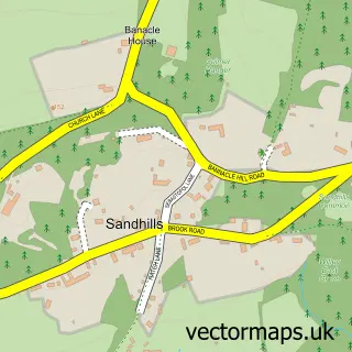
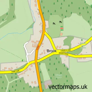
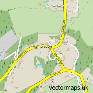
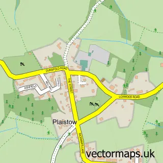
Nearby street map samples around Ramsnest Common

More street maps in Surrey
750 metre map area coverage
Boundary, postcode and point of interest information for the 750m x 750m rectangle centred on this sample map.
Boundaries containing map centre
Constituency: Godalming and Ash Co Const
County: Surrey County
District: Waverley District (B)
Icb: NHS Surrey and Sussex ICB
Parish: Chiddingfold CP
Police Force: surrey
Postcode District: GU8
Postcode Sector: GU8 4
Ward: Chiddingfold Ward
Nearby boundaries intersecting sample
No additional intersecting boundaries found.
Postcode coverage
POI category counts
Gas Station: 4
Convenience Store: 2
Botanical Garden: 1
Event Planning: 1
Farm: 1
Landmark And Historical Building: 1
Package Locker: 1
Pub: 1
Tea Room: 1
Sample points of interest
- Ramster Gardens
- Londis BROKEN SPUR SERVICE STATION
- SPAR
- Ramster Hall
- Gostrode Farm
- BP
- BROKEN SPUR SERVICE STATION
- Harvest Energy
- Shell
- Ramsnest Common
- InPost
- The Mulberry Inn
Create a larger editable map of Ramsnest Common
This sample shows only a 750 metre area. To create a larger map of Ramsnest Common, use our map builder to choose your own coverage area, add titles and download editable SVG, PDF and PNG files.
Create a custom map of Ramsnest Common