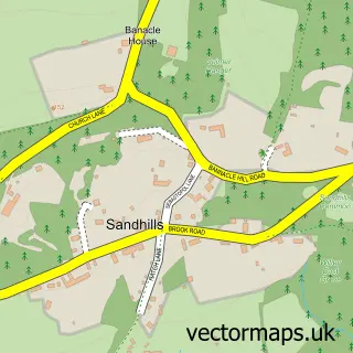
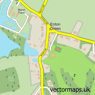
This Chiddingfold street map is a detailed vector street map covering a 750m x 750m area. Select a larger area to create and download your own vector street map of Chiddingfold.
The 750-metre map sample for Chiddingfold covers 166 mapped buildings and approximately 9.5 km of road detail, of which 11 named roads are named. The immediate area includes 1 school, 1 GP surgery within 2 miles, 1 pub and 3 MOT stations within 2 miles. The wider area around Chiddingfold features 1 tourism point of interest and 3 food and drink venues. To create a larger or custom map of Chiddingfold, the map builder lets you define your own coverage area and download editable SVG, PDF and PNG files.
Create a larger editable map of Chiddingfold
Choose any area you need and generate a high-quality vector map instantly. Perfect for print, planning, design, business and personal use.

This Chiddingfold street map in Surrey is available as downloadable SVG, PDF and PNG map files, or as a printed map for planning, business, display, education, local information and design work. You can also create a larger custom map area using the map selector.
What this Chiddingfold map sample shows
Chiddingfold lies within Chiddingfold Cp parish, part of Chiddingfold And Dunsfold ward in the Waverley District (B) local authority area. The postcode geography for this area includes the GU postcode area, the GU8 postcode district and the GU8 4 postcode sector. Residents fall under the Nhs Surrey Heartlands Integrated Care Board for NHS services.
Local features near Chiddingfold
Within 2 milesAmenities and services in and around Chiddingfold.
Administrative and postcode information for Chiddingfold
Chiddingfold lies within Chiddingfold Cp parish, part of Chiddingfold And Dunsfold ward in the Waverley District (B) local authority area. The postcode geography for this area includes the GU postcode area, the GU8 postcode district and the GU8 4 postcode sector. Residents fall under the Nhs Surrey Heartlands Integrated Care Board for NHS services.
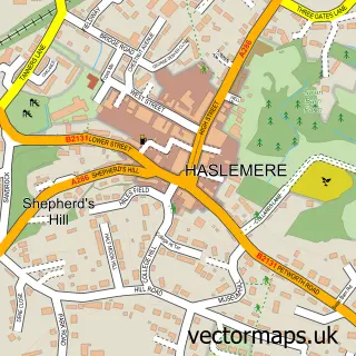
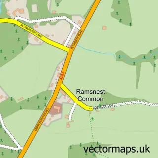
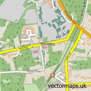
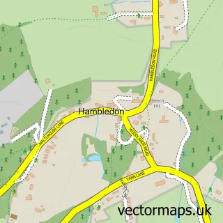
Nearby street map samples around Chiddingfold

More street maps in Surrey
750 metre map area coverage
Boundary, postcode and point of interest information for the 750m x 750m rectangle centred on this sample map.
Boundaries containing map centre
Constituency: Godalming and Ash Co Const
County: Surrey County
District: Waverley District (B)
Icb: NHS Surrey and Sussex ICB
Parish: Chiddingfold CP
Police Force: surrey
Postcode District: GU8
Postcode Sector: GU8 4
Ward: Chiddingfold Ward
Nearby boundaries intersecting sample
No additional intersecting boundaries found.
Postcode coverage
POI category counts
Inn: 3
Church Cathedral: 2
Coffee Shop: 2
Pharmacy: 2
Post Office: 2
Anglican Church: 1
Baptist Church: 1
Books Mags Music And Video: 1
Butcher Shop: 1
Caterer: 1
Sample points of interest
- St Mary's, Chiddingfold
- Chiddingfold Baptist Church
- Post Office-Chiddingfold
- R G Young & Son
- Just Jane Catering
- KOOSA Kids After School Club at St. Marys Primary School
- Elstead Chiropractic Clinic
- St Marys Church
- St Marys Church
- Elliott's Coffee Shop
- Elliot’s Coffee Shop
- Londis ROBERTS STORES
Create a larger editable map of Chiddingfold
This sample shows only a 750 metre area. To create a larger map of Chiddingfold, use our map builder to choose your own coverage area, add titles and download editable SVG, PDF and PNG files.
Create a custom map of Chiddingfold