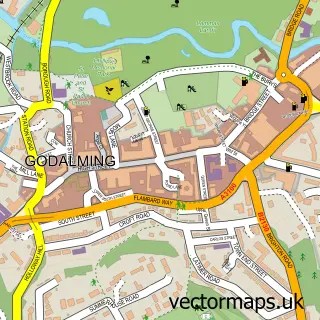
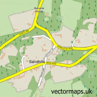
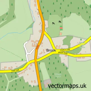
This Hambledon street map is a detailed vector street map covering a 750m x 750m area. Select a larger area to create and download your own vector street map of Hambledon.
The 750-metre map sample for Hambledon covers 109 mapped buildings and approximately 6.3 km of road detail, of which 5 named roads are named. The immediate area includes 2 GP surgeries within 2 miles and 2 MOT stations within 2 miles. The wider area around Hambledon features 1 tourism point of interest. To create a larger or custom map of Hambledon, the map builder lets you define your own coverage area and download editable SVG, PDF and PNG files.
Create a larger editable map of Hambledon
Choose any area you need and generate a high-quality vector map instantly. Perfect for print, planning, design, business and personal use.

This Hambledon street map in Surrey is available as downloadable SVG, PDF and PNG map files, or as a printed map for planning, business, display, education, local information and design work. You can also create a larger custom map area using the map selector.
What this Hambledon map sample shows
Hambledon lies within Hambledon Cp parish, part of Witley And Hambledon ward in the Waverley District (B) local authority area. The postcode geography for this area includes the GU postcode area, the GU8 postcode district and the GU8 4 postcode sector. Residents fall under the Nhs Surrey Heartlands Integrated Care Board for NHS services.
Local features near Hambledon
Within 2 milesAmenities and services in and around Hambledon.
Administrative and postcode information for Hambledon
Hambledon lies within Hambledon Cp parish, part of Witley And Hambledon ward in the Waverley District (B) local authority area. The postcode geography for this area includes the GU postcode area, the GU8 postcode district and the GU8 4 postcode sector. Residents fall under the Nhs Surrey Heartlands Integrated Care Board for NHS services.
Nearby street map samples around Hambledon

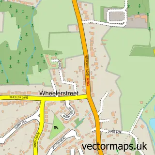
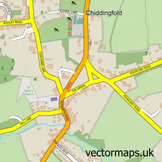
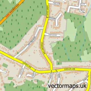
More street maps in Surrey
750 metre map area coverage
Boundary, postcode and point of interest information for the 750m x 750m rectangle centred on this sample map.
Boundaries containing map centre
Constituency: Godalming and Ash Co Const
County: Surrey County
District: Waverley District (B)
Icb: NHS Surrey and Sussex ICB
Parish: Hambledon CP
Police Force: surrey
Postcode District: GU8
Postcode Sector: GU8 4
Ward: Bramley & Wonersh Ward
Nearby boundaries intersecting sample
No additional intersecting boundaries found.
Postcode coverage
POI category counts
Bed And Breakfast: 1
Business Consulting: 1
Community Center: 1
Convenience Store: 1
Kids Recreation And Party: 1
Lake: 1
Landmark And Historical Building: 1
Makeup Artist: 1
Shoe Store: 1
Sample points of interest
- Hambledon Guest and Occasion House
- Pragmatica Consulting
- Hambledon Village Hall
- Hambledon Village Shop and Post Office
- Surrey Hills Cycle Hire
- Sweetwater Lake
- Hambledon, Surrey
- Viktoria Kohl
- Menthe Et Grenadine
Create a larger editable map of Hambledon
This sample shows only a 750 metre area. To create a larger map of Hambledon, use our map builder to choose your own coverage area, add titles and download editable SVG, PDF and PNG files.
Create a custom map of Hambledon