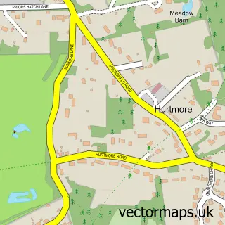
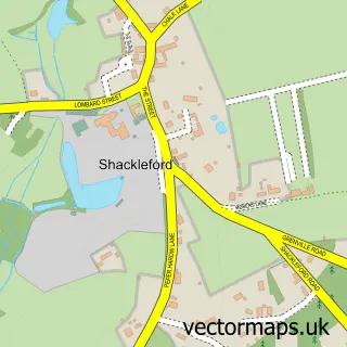
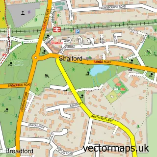
This Godalming street map is a detailed vector street map covering a 750m x 750m area. Select a larger area to create and download your own vector street map of Godalming.
The 750-metre map sample for Godalming covers 302 mapped buildings and approximately 17.6 km of road detail, of which 39 named roads are named. The immediate area includes 1 school, 2 GP surgeries within 2 miles, 10 pubs and 10 MOT stations within 2 miles. The wider area around Godalming features 8 tourism points of interest, 27 food and drink venues and 4 hotels. To create a larger or custom map of Godalming, the map builder lets you define your own coverage area and download editable SVG, PDF and PNG files.
Create a larger editable map of Godalming
Choose any area you need and generate a high-quality vector map instantly. Perfect for print, planning, design, business and personal use.

This Godalming street map in Surrey is available as downloadable SVG, PDF and PNG map files, or as a printed map for planning, business, display, education, local information and design work. You can also create a larger custom map area using the map selector.
What this Godalming map sample shows
Godalming lies within Godalming Cp parish, part of Godalming Central And Ockford ward in the Waverley District (B) local authority area. The postcode geography for this area includes the GU postcode area, the GU7 postcode district and the GU7 1 postcode sector. Residents fall under the Nhs Surrey Heartlands Integrated Care Board for NHS services.
Local features near Godalming
Within 2 milesAmenities and services in and around Godalming.
Administrative and postcode information for Godalming
Godalming lies within Godalming Cp parish, part of Godalming Central And Ockford ward in the Waverley District (B) local authority area. The postcode geography for this area includes the GU postcode area, the GU7 postcode district and the GU7 1 postcode sector. Residents fall under the Nhs Surrey Heartlands Integrated Care Board for NHS services.
Nearby street map samples around Godalming

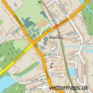
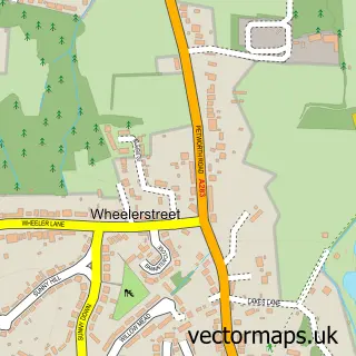
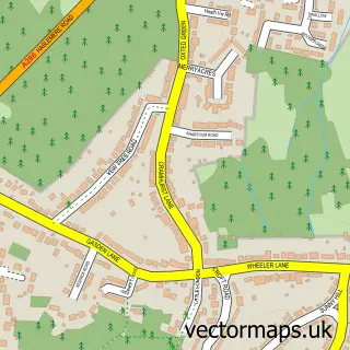
More street maps in Surrey
750 metre map area coverage
Boundary, postcode and point of interest information for the 750m x 750m rectangle centred on this sample map.
Boundaries containing map centre
Constituency: Godalming and Ash Co Const
County: Surrey County
District: Waverley District (B)
Icb: NHS Surrey and Sussex ICB
Parish: Godalming CP
Police Force: surrey
Postcode District: GU7
Postcode Sector: GU7 1
Ward: Godalming Central & Ockford Ward
Nearby boundaries intersecting sample
Postcode Sector: GU7 2, GU7 3
Ward: Godalming Binscombe & Charterhouse Ward, Godalming Farncombe & Catteshall Ward, Godalming Holloway Ward
Postcode coverage
POI category counts
Real Estate Agent: 14
Employment Agencies: 12
Advertising Agency: 10
Financial Service: 10
Pub: 10
Cafe: 9
Charity Organization: 9
Hair Salon: 9
Barber: 8
It Service And Computer Repair: 8
Sample points of interest
- Little Rays Soft Play
- Brandnew
- Clean Canvas
- Craven Property Services
- Premium World
- Quantum Marketing Services
- Quantum Marketing Services
- R & M Surveys
- Red Ant Solutions
- The Clarion Portfolio
- The Clarion Portfolio
- Laurie Harvey Cognitive Hypnotherapist
Create a larger editable map of Godalming
This sample shows only a 750 metre area. To create a larger map of Godalming, use our map builder to choose your own coverage area, add titles and download editable SVG, PDF and PNG files.
Create a custom map of Godalming