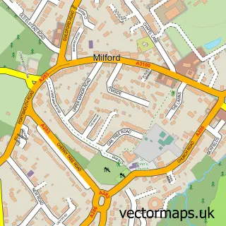
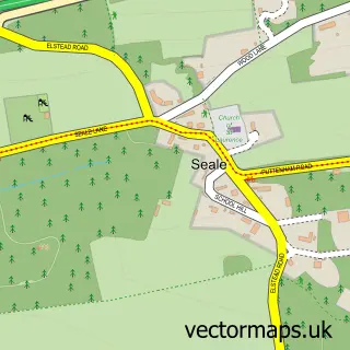
This Shackleford street map is a detailed vector street map covering a 750m x 750m area. Select a larger area to create and download your own vector street map of Shackleford.
The 750-metre map sample for Shackleford covers 115 mapped buildings and approximately 9.1 km of road detail, of which 11 named roads are named. The immediate area includes 1 school, 1 GP surgery within 2 miles, 2 pubs and 4 MOT stations within 2 miles. The wider area around Shackleford features 2 tourism points of interest and 2 food and drink venues. To create a larger or custom map of Shackleford, the map builder lets you define your own coverage area and download editable SVG, PDF and PNG files.
Create a larger editable map of Shackleford
Choose any area you need and generate a high-quality vector map instantly. Perfect for print, planning, design, business and personal use.

This Shackleford street map in Surrey is available as downloadable SVG, PDF and PNG map files, or as a printed map for planning, business, display, education, local information and design work. You can also create a larger custom map area using the map selector.
What this Shackleford map sample shows
Shackleford lies within Shackleford Cp parish, part of Pilgrims ward in the Guildford District (B) local authority area. The postcode geography for this area includes the GU postcode area, the GU8 postcode district and the GU8 6 postcode sector. Residents fall under the Nhs Surrey Heartlands Integrated Care Board for NHS services.
Local features near Shackleford
Within 2 milesAmenities and services in and around Shackleford.
Administrative and postcode information for Shackleford
Shackleford lies within Shackleford Cp parish, part of Pilgrims ward in the Guildford District (B) local authority area. The postcode geography for this area includes the GU postcode area, the GU8 postcode district and the GU8 6 postcode sector. Residents fall under the Nhs Surrey Heartlands Integrated Care Board for NHS services.
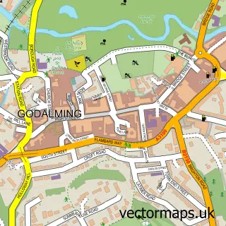
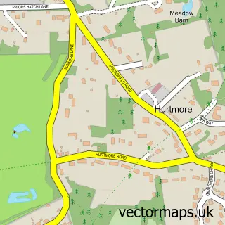
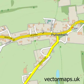
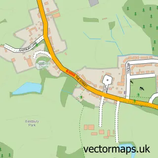
Nearby street map samples around Shackleford

More street maps in Surrey
750 metre map area coverage
Boundary, postcode and point of interest information for the 750m x 750m rectangle centred on this sample map.
Boundaries containing map centre
Constituency: Godalming and Ash Co Const
County: Surrey County
District: Guildford District (B)
Icb: NHS Surrey and Sussex ICB
Parish: Shackleford CP
Police Force: surrey
Postcode District: GU8
Postcode Sector: GU8 6
Ward: Pilgrims Ward
Nearby boundaries intersecting sample
District: Waverley District (B)
Parish: Peper Harow CP
Ward: Elstead & Peper Harow Ward
Postcode coverage
POI category counts
Post Office: 2
Pub: 2
Community Services Non Profits: 1
Forestry Service: 1
French Restaurant: 1
Landmark And Historical Building: 1
Private School: 1
Tours: 1
Sample points of interest
- Shackleford Surrey
- R C Stovold Farmer
- Côte Godalming
- Shackleford
- Shackleford Village Shop
- Shackleford Village Shop And Post Office
- Aldro
- Cyder House
- The Cyder House Inn
- Ideal motor home hire
Create a larger editable map of Shackleford
This sample shows only a 750 metre area. To create a larger map of Shackleford, use our map builder to choose your own coverage area, add titles and download editable SVG, PDF and PNG files.
Create a custom map of Shackleford