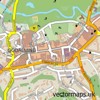
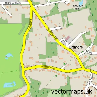
This Puttenham street map is a detailed vector street map covering a 750m x 750m area. Select a larger area to create and download your own vector street map of Puttenham.
The 750-metre map sample for Puttenham covers 129 mapped buildings and approximately 6.5 km of road detail, of which 8 named roads are named. The immediate area includes 1 school, 2 pubs and 1 MOT station within 2 miles. The wider area around Puttenham features 2 tourism points of interest and 2 food and drink venues. To create a larger or custom map of Puttenham, the map builder lets you define your own coverage area and download editable SVG, PDF and PNG files.
Create a larger editable map of Puttenham
Choose any area you need and generate a high-quality vector map instantly. Perfect for print, planning, design, business and personal use.

This Puttenham street map in Surrey is available as downloadable SVG, PDF and PNG map files, or as a printed map for planning, business, display, education, local information and design work. You can also create a larger custom map area using the map selector.
What this Puttenham map sample shows
Puttenham lies within Puttenham Cp parish, part of Pilgrims ward in the Guildford District (B) local authority area. The postcode geography for this area includes the GU postcode area, the GU3 postcode district and the GU3 1 postcode sector. Residents fall under the Nhs Surrey Heartlands Integrated Care Board for NHS services.
Local features near Puttenham
Within 2 milesAmenities and services in and around Puttenham.
Administrative and postcode information for Puttenham
Puttenham lies within Puttenham Cp parish, part of Pilgrims ward in the Guildford District (B) local authority area. The postcode geography for this area includes the GU postcode area, the GU3 postcode district and the GU3 1 postcode sector. Residents fall under the Nhs Surrey Heartlands Integrated Care Board for NHS services.
Nearby street map samples around Puttenham

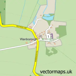
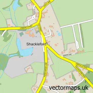
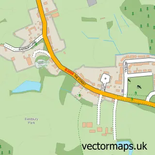

More street maps in Surrey
750 metre map area coverage
Boundary, postcode and point of interest information for the 750m x 750m rectangle centred on this sample map.
Boundaries containing map centre
Constituency: Godalming and Ash Co Const
County: Surrey County
District: Guildford District (B)
Icb: NHS Surrey and Sussex ICB
Parish: Puttenham CP
Police Force: surrey
Postcode District: GU3
Postcode Sector: GU3 1
Ward: Pilgrims Ward
Nearby boundaries intersecting sample
Postcode District: GU10
Postcode Sector: GU10 1
Postcode coverage
POI category counts
Pub: 2
Advertising Agency: 1
Anglican Church: 1
Building Supply Store: 1
Cottage: 1
Event Planning: 1
Importer And Exporter: 1
Interior Design: 1
Landmark And Historical Building: 1
Park: 1
Sample points of interest
- 2 the Fore
- Puttenham: St John the Baptist
- Heartwood Joinery
- Puttenham Barn Bunkhouse
- Puttenham Bonfire
- R & D Associates
- House Tutor
- Puttenham Priory
- Puttenham Playground
- Focal Point
- The Good Intent
- The Good Intent
Create a larger editable map of Puttenham
This sample shows only a 750 metre area. To create a larger map of Puttenham, use our map builder to choose your own coverage area, add titles and download editable SVG, PDF and PNG files.
Create a custom map of Puttenham