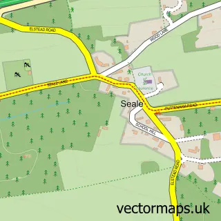
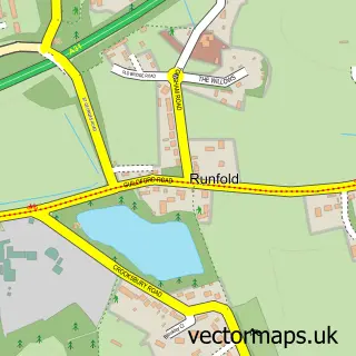
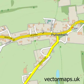
This Tongham street map is a detailed vector street map covering a 750m x 750m area. Select a larger area to create and download your own vector street map of Tongham.
The 750-metre map sample for Tongham covers 402 mapped buildings and approximately 17.0 km of road detail, of which 33 named roads are named. The immediate area includes 2 GP surgeries within 2 miles, 2 pubs and 18 MOT stations within 2 miles. The wider area around Tongham features 1 tourism point of interest and 2 food and drink venues. To create a larger or custom map of Tongham, the map builder lets you define your own coverage area and download editable SVG, PDF and PNG files.
Create a larger editable map of Tongham
Choose any area you need and generate a high-quality vector map instantly. Perfect for print, planning, design, business and personal use.

This Tongham street map in Surrey is available as downloadable SVG, PDF and PNG map files, or as a printed map for planning, business, display, education, local information and design work. You can also create a larger custom map area using the map selector.
What this Tongham map sample shows
Tongham lies within Tongham Cp parish, part of Ash South And Tongham ward in the Guildford District (B) local authority area. The postcode geography for this area includes the GU postcode area, the GU10 postcode district and the GU10 1 postcode sector. Residents fall under the Nhs Frimley Integrated Care Board for NHS services.
Local features near Tongham
Within 2 milesAmenities and services in and around Tongham.
Administrative and postcode information for Tongham
Tongham lies within Tongham Cp parish, part of Ash South And Tongham ward in the Guildford District (B) local authority area. The postcode geography for this area includes the GU postcode area, the GU10 postcode district and the GU10 1 postcode sector. Residents fall under the Nhs Frimley Integrated Care Board for NHS services.
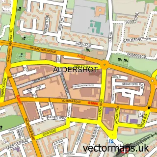
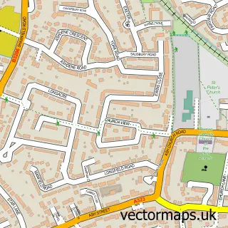
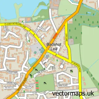
Nearby street map samples around Tongham

More street maps in Surrey
750 metre map area coverage
Boundary, postcode and point of interest information for the 750m x 750m rectangle centred on this sample map.
Boundaries containing map centre
Constituency: Godalming and Ash Co Const
County: Surrey County
District: Guildford District (B)
Icb: NHS Frimley ICB
Parish: Tongham CP
Police Force: surrey
Postcode District: GU10
Postcode Sector: GU10 1
Ward: Pilgrims Ward
Nearby boundaries intersecting sample
Constituency: Aldershot Boro Const
County: Hampshire County
District: Rushmoor District (B)
Parish: Ash CP
Postcode District: GU12
Postcode Sector: GU12 4, GU12 6
Ward: Aldershot Park Ward, Ash South Ward
Postcode coverage
POI category counts
Community Center: 3
Contractor: 3
Bakery: 2
Convenience Store: 2
Professional Services: 2
Pub: 2
Taxi Service: 2
Business: 1
Business Management Services: 1
Carpet Store: 1
Sample points of interest
- Good Taste
- Tongham Village Bakery
- Ouroboros Consulting
- Terra Firma Driveways Guildford
- Chris Hammond Carpets Ltd
- St. Paul's Church
- Tongham Community Association
- Tongham Community Centre
- Tongham Village Hall
- Oakley Contractors
- Terra Firma Driveways Guildford
- The Makeover Spray Co.
Create a larger editable map of Tongham
This sample shows only a 750 metre area. To create a larger map of Tongham, use our map builder to choose your own coverage area, add titles and download editable SVG, PDF and PNG files.
Create a custom map of Tongham