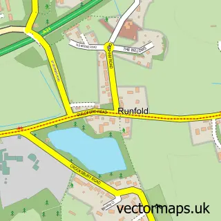
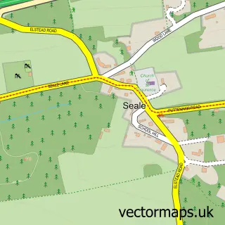
This Weybourne street map is a detailed vector street map covering a 750m x 750m area. Select a larger area to create and download your own vector street map of Weybourne.
The 750-metre map sample for Weybourne covers 555 mapped buildings and approximately 15.0 km of road detail, of which 30 named roads are named. The immediate area includes 1 primary school and 2 secondary schools, 6 GP surgeries within 2 miles, 2 pubs and 24 MOT stations within 2 miles. The wider area around Weybourne features 2 food and drink venues. To create a larger or custom map of Weybourne, the map builder lets you define your own coverage area and download editable SVG, PDF and PNG files.
Create a larger editable map of Weybourne
Choose any area you need and generate a high-quality vector map instantly. Perfect for print, planning, design, business and personal use.

This Weybourne street map in Surrey is available as downloadable SVG, PDF and PNG map files, or as a printed map for planning, business, display, education, local information and design work. You can also create a larger custom map area using the map selector.
What this Weybourne map sample shows
Weybourne lies within Farnham Cp parish, part of Farnham Weybourne And Badshot Lea ward in the Waverley District (B) local authority area. The postcode geography for this area includes the GU postcode area, the GU9 postcode district and the GU9 9 postcode sector. Residents fall under the Nhs Frimley Integrated Care Board for NHS services.
Local features near Weybourne
Within 2 milesAmenities and services in and around Weybourne.
Administrative and postcode information for Weybourne
The local authority covering Weybourne is Waverley District (B), within the county of Surrey. The settlement lies within Farnham Weybourne And Badshot Lea ward and Farnham Cp civil parish. The GU9 postcode district and GU9 9 postcode sector serve the immediate area. NHS provision in the area is delivered through Frimley Health Nhs Foundation Trust.
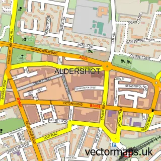
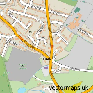
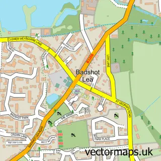
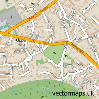
Nearby street map samples around Weybourne

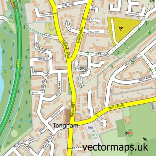
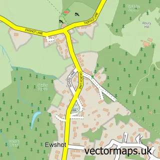
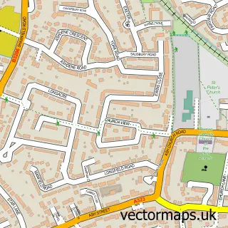
More street maps in Surrey
750 metre map area coverage
Boundary, postcode and point of interest information for the 750m x 750m rectangle centred on this sample map.
Boundaries containing map centre
Constituency: Farnham and Bordon Co Const
County: Surrey County
District: Waverley District (B)
Icb: NHS Frimley ICB
Parish: Farnham CP
Police Force: surrey
Postcode District: GU9
Postcode Sector: GU9 9
Ward: Farnham Weybourne Ward
Nearby boundaries intersecting sample
No additional intersecting boundaries found.
Postcode coverage
POI category counts
Convenience Store: 4
Building Supply Store: 3
Elementary School: 3
Post Office: 3
Contractor: 2
Dance School: 2
Driving School: 2
Flowers And Gifts Shop: 2
Martial Arts Club: 2
Professional Services: 2
Sample points of interest
- Weybourne House
- Greenbean Design
- My Space Meditation
- Kate Stoddart Ltd.
- Henry Trezise
- PayPoint
- Flexible Handling Systems
- Beagleys Bakery
- Ash Damp Proofing & Plastering
- Hutchins Interior & Exterior Decora
- Mark Lee Flooring
- OEM Carpentry and Construction
Create a larger editable map of Weybourne
This sample shows only a 750 metre area. To create a larger map of Weybourne, use our map builder to choose your own coverage area, add titles and download editable SVG, PDF and PNG files.
Create a custom map of Weybourne