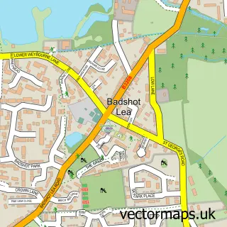
This Ewshot street map is a detailed vector street map covering a 750m x 750m area. Select a larger area to create and download your own vector street map of Ewshot.
The 750-metre map sample for Ewshot covers 145 mapped buildings and approximately 6.4 km of road detail, of which 11 named roads are named. The immediate area includes 2 GP surgeries within 2 miles, 1 pub and 7 MOT stations within 2 miles. The wider area around Ewshot features 2 tourism points of interest and 1 food and drink venue. To create a larger or custom map of Ewshot, the map builder lets you define your own coverage area and download editable SVG, PDF and PNG files.
Create a larger editable map of Ewshot
Choose any area you need and generate a high-quality vector map instantly. Perfect for print, planning, design, business and personal use.

This Ewshot street map in Hampshire is available as downloadable SVG, PDF and PNG map files, or as a printed map for planning, business, display, education, local information and design work. You can also create a larger custom map area using the map selector.
What this Ewshot map sample shows
Ewshot lies within Ewshot Cp parish, part of Crookham West And Ewshot ward in the Hart District local authority area. The postcode geography for this area includes the GU postcode area, the GU10 postcode district and the GU10 5 postcode sector. Residents fall under the Nhs Frimley Integrated Care Board for NHS services.
Local features near Ewshot
Within 2 milesAmenities and services in and around Ewshot.
Administrative and postcode information for Ewshot
Ewshot lies within Ewshot Cp parish, part of Crookham West And Ewshot ward in the Hart District local authority area. The postcode geography for this area includes the GU postcode area, the GU10 postcode district and the GU10 5 postcode sector. Residents fall under the Nhs Frimley Integrated Care Board for NHS services.
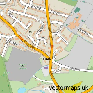
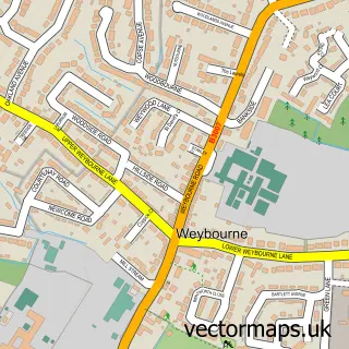
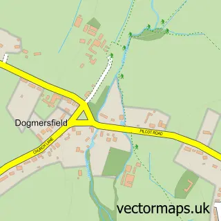
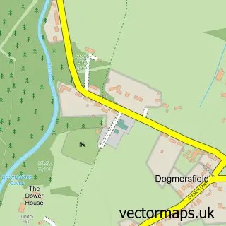
Nearby street map samples around Ewshot
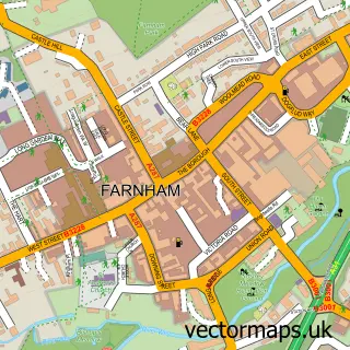

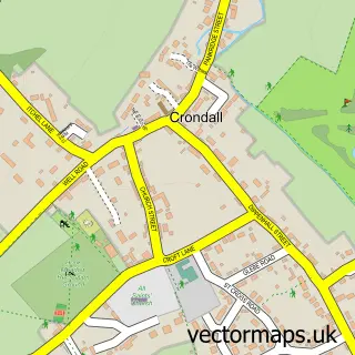
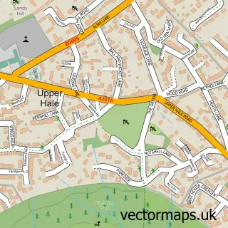
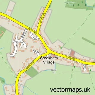
More street maps in Hampshire
750 metre map area coverage
Boundary, postcode and point of interest information for the 750m x 750m rectangle centred on this sample map.
Boundaries containing map centre
Constituency: North East Hampshire Co Const
County: Hampshire County
District: Hart District
Icb: NHS Frimley ICB
Parish: Ewshot CP
Police Force: hampshire
Postcode District: GU10
Postcode Sector: GU10 5
Ward: Crookham West and Ewshot Ward
Nearby boundaries intersecting sample
No additional intersecting boundaries found.
Postcode coverage
POI category counts
Park: 2
Anglican Church: 1
Architect: 1
Business Consulting: 1
Courier And Delivery Services: 1
Dog Walkers: 1
Event Planning: 1
Opera And Ballet: 1
Plumbing: 1
Pub: 1
Sample points of interest
- Ewshot: St Mary's
- Kate Stoddart Ltd.
- Way Ahead Solutions
- Cranstone Brothers Ltd.
- Tails for Trails
- Blue Line Events
- Gilmour School Of Dancing Farnham & Fleet
- Ewshot Park
- Ewshot Recreation Ground
- SOS Heating & Gas Engineers
- The Windmill
Create a larger editable map of Ewshot
This sample shows only a 750 metre area. To create a larger map of Ewshot, use our map builder to choose your own coverage area, add titles and download editable SVG, PDF and PNG files.
Create a custom map of Ewshot