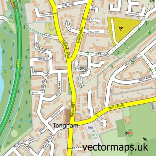
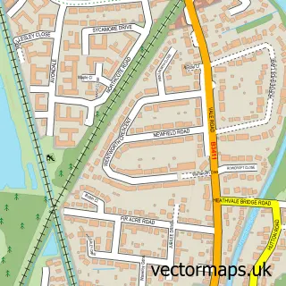
This Badshot Lea street map is a detailed vector street map covering a 750m x 750m area. Select a larger area to create and download your own vector street map of Badshot Lea.
The 750-metre map sample for Badshot Lea covers 391 mapped buildings and approximately 15.4 km of road detail, of which 25 named roads are named. The immediate area includes 1 school, 6 GP surgeries within 2 miles, 2 pubs and 1 MOT station, with 25 within 2 miles. The wider area around Badshot Lea features 3 tourism points of interest and 3 food and drink venues. To create a larger or custom map of Badshot Lea, the map builder lets you define your own coverage area and download editable SVG, PDF and PNG files.
Create a larger editable map of Badshot Lea
Choose any area you need and generate a high-quality vector map instantly. Perfect for print, planning, design, business and personal use.

This Badshot Lea street map in Surrey is available as downloadable SVG, PDF and PNG map files, or as a printed map for planning, business, display, education, local information and design work. You can also create a larger custom map area using the map selector.
What this Badshot Lea map sample shows
Badshot Lea lies within Farnham Cp parish, part of Farnham Weybourne And Badshot Lea ward in the Waverley District (B) local authority area. The postcode geography for this area includes the GU postcode area, the GU9 postcode district and the GU9 9 postcode sector. Residents fall under the Nhs Frimley Integrated Care Board for NHS services.
Local features near Badshot Lea
Within 2 milesAmenities and services in and around Badshot Lea.
Administrative and postcode information for Badshot Lea
The local authority covering Badshot Lea is Waverley District (B), within the county of Surrey. The settlement lies within Farnham Weybourne And Badshot Lea ward and Farnham Cp civil parish. The GU9 postcode district and GU9 9 postcode sector serve the immediate area. NHS provision in the area is delivered through Frimley Health Nhs Foundation Trust.
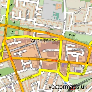
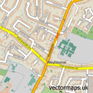
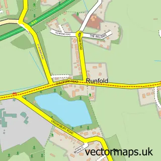
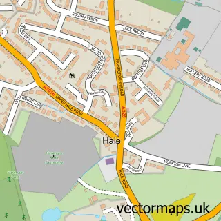
Nearby street map samples around Badshot Lea

More street maps in Surrey
750 metre map area coverage
Boundary, postcode and point of interest information for the 750m x 750m rectangle centred on this sample map.
Boundaries containing map centre
Constituency: Farnham and Bordon Co Const
County: Surrey County
District: Waverley District (B)
Icb: NHS Frimley ICB
Parish: Farnham CP
Police Force: surrey
Postcode District: GU9
Postcode Sector: GU9 9
Ward: Farnham Moor Park Ward
Nearby boundaries intersecting sample
Constituency: Aldershot Boro Const
County: Hampshire County
District: Rushmoor District (B)
Police Force: hampshire
Postcode District: GU10, GU11
Postcode Sector: GU10 1, GU11 3
Ward: Aldershot Park Ward, Manor Park Ward
Postcode coverage
POI category counts
Beauty Salon: 4
Used Car Dealer: 4
Car Dealer: 3
Anglican Church: 2
Dog Trainer: 2
Employment Agencies: 2
Freight And Cargo Service: 2
It Service And Computer Repair: 2
Kitchen And Bath: 2
Professional Services: 2
Sample points of interest
- SMSW Media
- Badshot Lea: St George
- St Georges C Of E Church
- Badshot Lea Community Garden
- Farnham Van Sales
- Beetlelink
- The Cricketers, Badshot Lea
- Brogan's Barber Shop
- Holly cottage beauty
- Mandy Vickers Beauty Therapy
- Tangles Hair & Beauty
- The Cedar Hut
Create a larger editable map of Badshot Lea
This sample shows only a 750 metre area. To create a larger map of Badshot Lea, use our map builder to choose your own coverage area, add titles and download editable SVG, PDF and PNG files.
Create a custom map of Badshot Lea