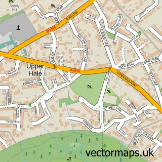
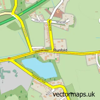
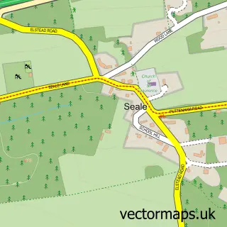
This Hale street map is a detailed vector street map covering a 750m x 750m area. Select a larger area to create and download your own vector street map of Hale.
The 750-metre map sample for Hale covers 288 mapped buildings and approximately 11.8 km of road detail, of which 22 named roads are named. The immediate area includes 1 school, 5 GP surgeries within 2 miles and 17 MOT stations within 2 miles. To create a larger or custom map of Hale, the map builder lets you define your own coverage area and download editable SVG, PDF and PNG files.
Create a larger editable map of Hale
Choose any area you need and generate a high-quality vector map instantly. Perfect for print, planning, design, business and personal use.

This Hale street map in Surrey is available as downloadable SVG, PDF and PNG map files, or as a printed map for planning, business, display, education, local information and design work. You can also create a larger custom map area using the map selector.
What this Hale map sample shows
Hale lies within Farnham Cp parish, part of Farnham Weybourne And Badshot Lea ward in the Waverley District (B) local authority area. The postcode geography for this area includes the GU postcode area, the GU9 postcode district and the GU9 9 postcode sector. Residents fall under the Nhs Frimley Integrated Care Board for NHS services.
Local features near Hale
Within 2 milesAmenities and services in and around Hale.
Administrative and postcode information for Hale
Hale lies within Farnham Cp parish, part of Farnham Weybourne And Badshot Lea ward in the Waverley District (B) local authority area. The postcode geography for this area includes the GU postcode area, the GU9 postcode district and the GU9 9 postcode sector. Residents fall under the Nhs Frimley Integrated Care Board for NHS services.
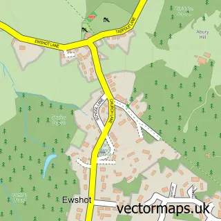
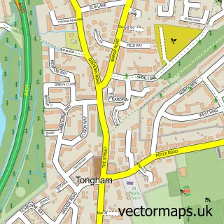
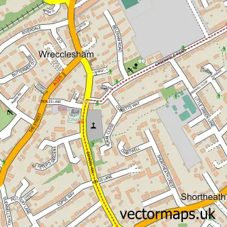
Nearby street map samples around Hale
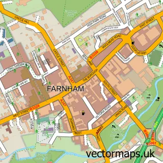

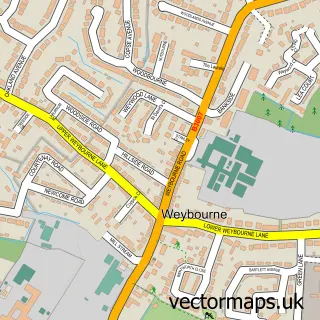
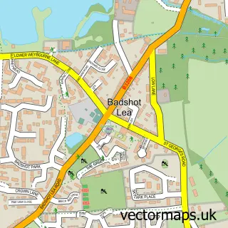
More street maps in Surrey
750 metre map area coverage
Boundary, postcode and point of interest information for the 750m x 750m rectangle centred on this sample map.
Boundaries containing map centre
Constituency: Farnham and Bordon Co Const
County: Surrey County
District: Waverley District (B)
Icb: NHS Frimley ICB
Parish: Farnham CP
Police Force: surrey
Postcode District: GU9
Postcode Sector: GU9 0
Ward: Farnham Heath End Ward
Nearby boundaries intersecting sample
Postcode Sector: GU9 9
Ward: Farnham Weybourne Ward
Postcode coverage
POI category counts
Advertising Agency: 2
Anglican Church: 2
Church Cathedral: 2
Retail: 2
Beauty Salon: 1
Building Contractor: 1
Building Supply Store: 1
Business Consulting: 1
Chimney Sweep: 1
Chiropractor: 1
Sample points of interest
- Aramis Design
- Point Copywriting
- Hale: St John the Evangelist
- St John the Evangelist Church
- Embellished Beauty and Massage Therapy
- S & C Windows
- Hydro Plumbing & Heating Engineers
- Baker Services
- Basil the Brush
- Farnham Chiropractic Clinic
- St John's Church
- St Mark's Church
Create a larger editable map of Hale
This sample shows only a 750 metre area. To create a larger map of Hale, use our map builder to choose your own coverage area, add titles and download editable SVG, PDF and PNG files.
Create a custom map of Hale