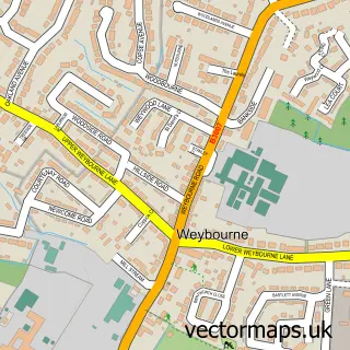
This Wrecclesham street map is a detailed vector street map covering a 750m x 750m area. Select a larger area to create and download your own vector street map of Wrecclesham.
The 750-metre map sample for Wrecclesham covers 564 mapped buildings and approximately 19.6 km of road detail, of which 44 named roads are named. The immediate area includes 1 school, 3 GP surgeries within 2 miles, 5 pubs and 1 MOT station, with 10 within 2 miles. The wider area around Wrecclesham features 7 food and drink venues and 1 hotel. To create a larger or custom map of Wrecclesham, the map builder lets you define your own coverage area and download editable SVG, PDF and PNG files.
Create a larger editable map of Wrecclesham
Choose any area you need and generate a high-quality vector map instantly. Perfect for print, planning, design, business and personal use.

This Wrecclesham street map in Surrey is available as downloadable SVG, PDF and PNG map files, or as a printed map for planning, business, display, education, local information and design work. You can also create a larger custom map area using the map selector.
What this Wrecclesham map sample shows
Wrecclesham lies within Farnham Cp parish, part of Farnham Wrecclesham And Rowledge ward in the Waverley District (B) local authority area. The postcode geography for this area includes the GU postcode area, the GU10 postcode district and the GU10 4 postcode sector. Residents fall under the Nhs Frimley Integrated Care Board for NHS services.
Local features near Wrecclesham
Within 2 milesAmenities and services in and around Wrecclesham.
Administrative and postcode information for Wrecclesham
Wrecclesham lies within Farnham Cp parish, part of Farnham Wrecclesham And Rowledge ward in the Waverley District (B) local authority area. The postcode geography for this area includes the GU postcode area, the GU10 postcode district and the GU10 4 postcode sector. Residents fall under the Nhs Frimley Integrated Care Board for NHS services.
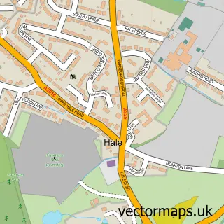
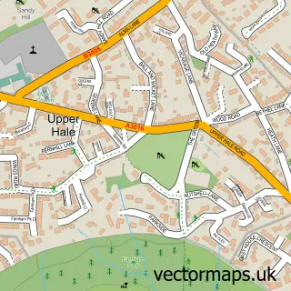
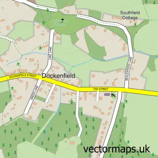
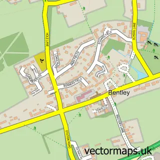
Nearby street map samples around Wrecclesham
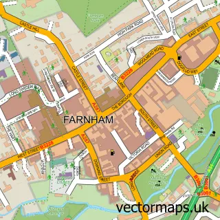

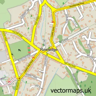
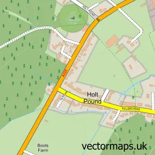
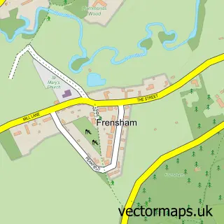
More street maps in Surrey
750 metre map area coverage
Boundary, postcode and point of interest information for the 750m x 750m rectangle centred on this sample map.
Boundaries containing map centre
Constituency: Farnham and Bordon Co Const
County: Surrey County
District: Waverley District (B)
Icb: NHS Frimley ICB
Parish: Farnham CP
Police Force: surrey
Postcode District: GU9
Postcode Sector: GU9 8
Ward: Farnham Rowledge Ward
Nearby boundaries intersecting sample
Postcode District: GU10
Postcode Sector: GU10 4
Ward: Farnham Bourne Ward, Farnham Firgrove Ward
Postcode coverage
POI category counts
Building Supply Store: 6
Pub: 5
Advertising Agency: 3
Automotive Repair: 3
Funeral Services And Cemeteries: 3
It Service And Computer Repair: 3
Motorcycle Repair: 3
Chinese Restaurant: 2
Church Cathedral: 2
Community Services Non Profits: 2
Sample points of interest
- Albert Ellison Creative
- DBA Corporate Communications
- I Drew This
- Wrecclesham: St Peter
- Ashton Manor Nursing Home
- Bumps & Scuffs
- Comfort Corner Upholstery
- Chequers Motor Company
- Golf Tek
- Mobiletuning Servicing & Repairs
- Motor Parts Direct
- Grantham Tool Sharpening
Create a larger editable map of Wrecclesham
This sample shows only a 750 metre area. To create a larger map of Wrecclesham, use our map builder to choose your own coverage area, add titles and download editable SVG, PDF and PNG files.
Create a custom map of Wrecclesham