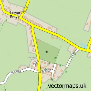
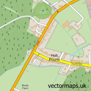
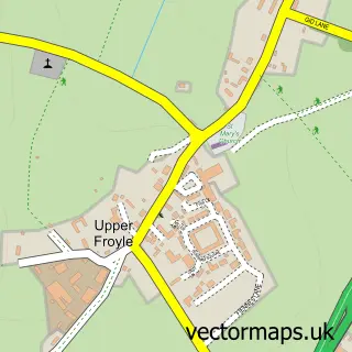
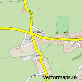
This Bentley street map is a detailed vector street map covering a 750m x 750m area. Select a larger area to create and download your own vector street map of Bentley.
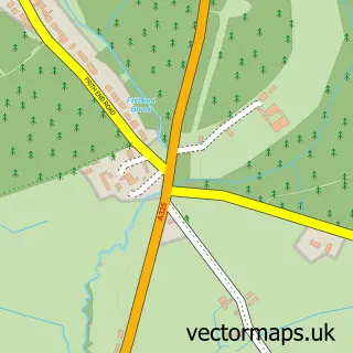
The 750-metre map sample for Bentley covers 231 mapped buildings and approximately 12.6 km of road detail, of which 16 named roads are named. The immediate area includes 1 school, 1 pub and 1 MOT station within 2 miles. The wider area around Bentley features 2 food and drink venues. To create a larger or custom map of Bentley, the map builder lets you define your own coverage area and download editable SVG, PDF and PNG files.
Create a larger editable map of Bentley
Choose any area you need and generate a high-quality vector map instantly. Perfect for print, planning, design, business and personal use.

This Bentley street map in Hampshire is available as downloadable SVG, PDF and PNG map files, or as a printed map for planning, business, display, education, local information and design work. You can also create a larger custom map area using the map selector.
What this Bentley map sample shows
Bentley lies within Bentley Cp parish, part of Binsted, Bentley & Selborne ward in the East Hampshire District local authority area. The postcode geography for this area includes the GU postcode area, the GU10 postcode district and the GU10 5 postcode sector. Residents fall under the Nhs Hampshire And Isle Of Wight Integrated Care Board for NHS services.
Local features near Bentley
Within 2 milesAmenities and services in and around Bentley.
Administrative and postcode information for Bentley
Bentley lies within Bentley Cp parish, part of Binsted, Bentley & Selborne ward in the East Hampshire District local authority area. The postcode geography for this area includes the GU postcode area, the GU10 postcode district and the GU10 5 postcode sector. Residents fall under the Nhs Hampshire And Isle Of Wight Integrated Care Board for NHS services.
Nearby street map samples around Bentley

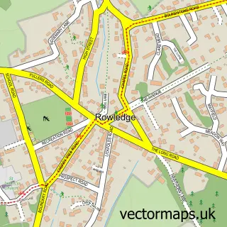
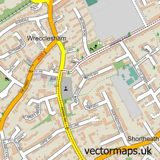
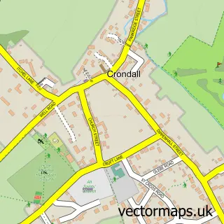
More street maps in Hampshire
750 metre map area coverage
Boundary, postcode and point of interest information for the 750m x 750m rectangle centred on this sample map.
Boundaries containing map centre
Constituency: East Hampshire Co Const
County: Hampshire County
District: East Hampshire District
Icb: NHS Hampshire and Isle of Wight ICB
Parish: Bentley CP
Police Force: hampshire
Postcode District: GU10
Postcode Sector: GU10 5
Ward: Binsted, Bentley & Selborne Ward
Nearby boundaries intersecting sample
No additional intersecting boundaries found.
Postcode coverage
POI category counts
Industrial Equipment: 3
Professional Services: 3
Automotive Repair: 2
Corporate Office: 2
Financial Service: 2
Roofing: 2
Scout Hall: 2
Assisted Living Facility: 1
Building Contractor: 1
Business: 1
Sample points of interest
- The Quinta Nursing Home
- Automotive Air Conditioning
- Lanes 4x4
- K & D Complete Services
- Business Options
- Acorn Office Supplies
- Roaring Donkey Mobile Bar & Kitchen
- Archers and Co
- Bentley Memorial Hall
- 2nd Bentley Scouts
- Bentley Village Stores
- Dusted
Create a larger editable map of Bentley
This sample shows only a 750 metre area. To create a larger map of Bentley, use our map builder to choose your own coverage area, add titles and download editable SVG, PDF and PNG files.
Create a custom map of Bentley